Download
1 / 9
700 likes | 1.83k Views
Weather Satellites. John Harris - Head of Geography - Radley College - UK mjh@radley.org.uk http://atschool.eduweb.co.uk/radgeog/. Weather Satellites. There are 2 main types of weather satellite. 1. Geostationary. 2. Polar Orbiting. Geo stationary satellites. eg Meteosat

E N D
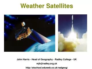
Weather Satellites John Harris - Head of Geography - Radley College - UK mjh@radley.org.uk http://atschool.eduweb.co.uk/radgeog/
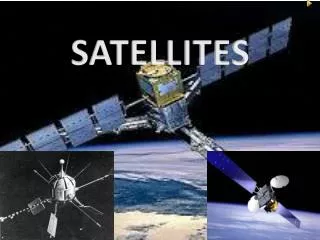
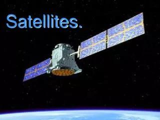
Weather Satellites There are 2 main types of weather satellite 1. Geostationary 2. Polar Orbiting
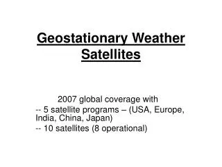
Geo stationary satellites • eg Meteosat • located over the equator at a height of 36 000 km. • remain stationary with respect to the Earth's surface. • give continuous low detail images (good for animation).
Polar orbiting satellites • eg NOAA • lower altitude of 850km. • orbit from pole to pole in about 100 minutes. • more detailed but less continuous images. • do not always fly over the same regions.
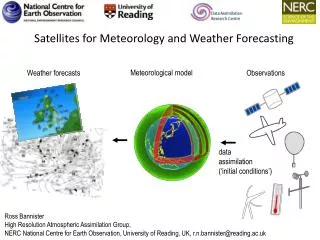
Types of image Satellites “see” the earth and clouds by sensing radiation. Radiation is measured at a variety of wavelengths especially: Visible and Infra-Red
How do we get the data? The data is transmitted to a receiving station where it is decoded, coloured and coastlines added. The image is transmitted back to the satellite and can then be received via a satellite dish. Weather mages are widely available on the web.
Visible images Visible images are detailed. Question: Where is it? What is it? Clue: this is a cold place, north of the Norwegian mainland… Answer: this shows ice bergs around the island of Spitzbergen. The lines are “cloud streets”
Infra-Red Dark areas are relatively warm. Lighter areas are relatively cold. Question Why are they so many clouds in equatorial regions? Answer This is where warm moist air is rising (convection) cooling and condensing to form clouds.
Countries and Coasts Countries, coastlines and colours can be added later to make it easier to interpret. Hurricane Mitch east of Florida, US A depression over Western Europe