Download

1 / 25
250 likes | 385 Views
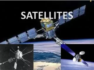
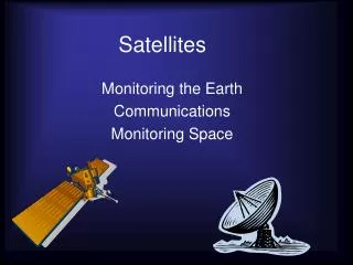
Satellites are crucial technologies used for various purposes such as communication, navigation, earth observation, and scientific research. They can be natural, like the moon, or artificial, designed to perform specific tasks. Different types of satellites include astronomical satellites for star observation, communication satellites for long-distance communication, earth observation satellites for monitoring geographical features, navigation satellites for GPS services, reconnaissance satellites for military use, and weather satellites for forecasting. This overview highlights the functions and types of satellites, emphasizing their significance in our daily lives.

E N D
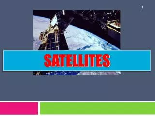
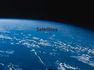
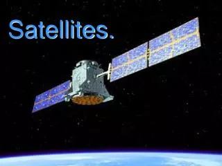
Satellites Prepared By: Muhamad Hisham Hamidon 2005101316 MSc Construction Project Management
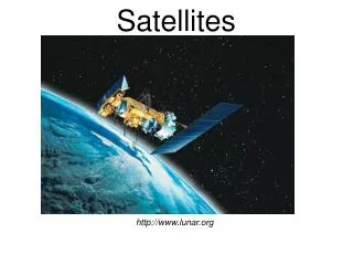
What is a Satellite? A satellite is something that goes around and around a larger something, like the earth or another planet. Some satellites are natural, like the moon, which is a natural satellite of the earth. Other satellites are made by scientists and technologists to go around the earth and do certain jobs.
Astronomical satellites These satellites are used for the observation of distant stars and other objects in space. Placing an observation point in space removes the unwanted effects of the atmosphere and enables far greater levels of detail to be seen than would be possible on earth where many observatories are placed on mountain tops that experience low levels of cloud. Eg : Hubble Telescope.
Communications satellites These satellites possible form the greatest number of satellites that are in orbit. They are used for communicating over large distances. The height of the satellite above the Earth enables the satellites to communicate over vast distances, and thereby overcoming the curvature of the Earth's surface.
Earth observation satellites These satellites are used for observing the earth's surface and as a result they are often termed geographical satellites. Using these satellites it is possible to see many features that are not obvious from the earth's surface, or even at the altitudes at which aircraft fly. Using these earth observation satellites many geographical features have become obvious and they have even been used in mineral search and exploitation.
Navigation satellites In recent years satellites have been used for accurate navigation. The first system known as GPS (Global Positioning System) was set up by the US DoD and was primarily intended for use as a highly accurate military system. Since then it has been adopted by a huge number of commercial and private users.
Reconnaissance satellites These satellites, are able to see objects on the ground and are accordingly used for military purposes. As such their performance and operation is kept secret and not publicized.
Weather satellites As the name implies these satellites are used to monitor the weather. They have helped considerably in the forecasting of the weather and have helped provide a much better understanding not only of the underlying phenomena, but also in enabling predictions to be made.
Medium Earth Orbit Low Earth Orbit Geostationary Earth Orbit
Low Earth Orbit A satellite in low earth orbit circles the earth100 to 300 miles above the earth’s surface. Because it is close to the earth, it must travel very fast to avoid being pulled out of orbit by gravity and crashing into the earth. Satellites in low earth orbit travel about 17,500 miles per hour. These satellites can circle the whole earth in about an hour and a half.
MEO, or Medium Earth Orbit Satellites circling 6,000 to12,000 miles above the earth are in medium altitude orbit. In these larger orbits they stay in sight of a ground receiving station for 2 hours or more, compared to about 10 minutes for LEOs. It takes MEO satellites from 4 to 8 hours to go around the earth.
GEO, or Geostationary Earth Orbit A satellite in geosynchronous orbit circles the earth in 24 hours—the same time it takes the earth to rotate one time. If these satellites are positioned over the equator and travel in the same direction as the earth rotates, they appear "fixed" with respect to a given spot on earth—that is, they hang like lanterns over the same spot on the earth all the time.
Satellite orbit Elliptical orbits are often used, particularly for satellites that only need to cover a portion of the Earth's surface. For any ellipse, there are two focal points, and one of these is the geocentre of the Earth. Another feature of an elliptical orbit is that there are two other major points. One is where the satellite is furthest from the Earth. This point is known as the apogee. The point where it is closest to the Earth is known as the perigee.
Spectrum Satellites use the microwave band for communications (some older ones used the radio frequencies UHF, VHF). For a description of the electromagnetic spectrum check. We modify sound waves to make speech. Dynamics such as loudness and tone are changed to convey meaning. Telecommunication modifies electromechanical signals such as microwaves to carry information in the same ways. Microwave bandwidth is regulated by the FCC in the U.S. and by the ITU internationally.
Wave • • VHF/UHF 0.1-0.3 GHz - MilSat- amateur radio, “little” LEO • • L Band -1-2 GHz - Mobile Sat/marine, “big” LEO • • S Band 2-4 GHz - Satellite command/control • • C Band 4-8 GHz - Data, voice, video distribution • * X Band 8-12 GHz - Military-EOS • • Ku 12-18 GHz - Direct TV, Data, Voice, SNG, IP services • • K 18-27 GHz -N/A (22.3-H2O absorption) • Introduction to Satellite Communication Technology for NREN 5 • • Ka 27-40 GHz - The next wave • * V 40-75 GHz - Released in the future (60 GHz -O2 absorption)
Earth Station Teleports, gateways, and “flyaways” are names for the terrestrial interface where the signal from satellites meets the ground and where data is uplinked to the satellite. The traditional architecture for satellite systems is to have a central complex with an antenna or antennas controlling transmission to and from satellites. Smaller antennas communicate to other ground stations or terrestrial networks via the central teleport.