Download
1 / 20
200 likes | 335 Views
Tracking Land cover Change in the Motueka Catchment Using ENVISAT. David Pairman Stephen McNeill Heather North Stella Belliss. Outline. Motueka Integrated catchment monitoring project Study site and data sources Methodology Initial results – change detection Geolocation problems

E N D
Tracking Land cover Change in the Motueka Catchment Using ENVISAT David Pairman Stephen McNeill Heather North Stella Belliss
Outline • Motueka Integrated catchment monitoring project • Study site and data sources • Methodology • Initial results – change detection • Geolocation problems • Identifying timing of changes • Summary
Motueka Integrated Catchment Monitoring Project (ICM) • Identify and implement sustainable patterns of land, water and coastal use • Collaboration of research providers, council, community and other interest groups • Interaction of ecosystem components land change → river → costal environment • Needs information on land cover change.
MERIS quarter scene • Required orthorectification • Scene tie points • Modified by correlation results with ETM image • Aiming for sub-pixel accuracy
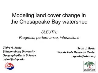
Summary • 21 MERIS image sequence covering 2 years • Land cover change has clear spectral differences • Scale of change is marginal for MERIS scale • Rectification needs to be more accurate • Discontinuities observed in level 1P & 2P imagery • For areas identified as changed - can pick timing using MERIS data with some (limited) success


![A [simple] land cover change intercomparison](https://cdn2.slideserve.com/3941152/a-simple-land-cover-change-intercomparison-dt.jpg)