Download
1 / 30
300 likes | 418 Views
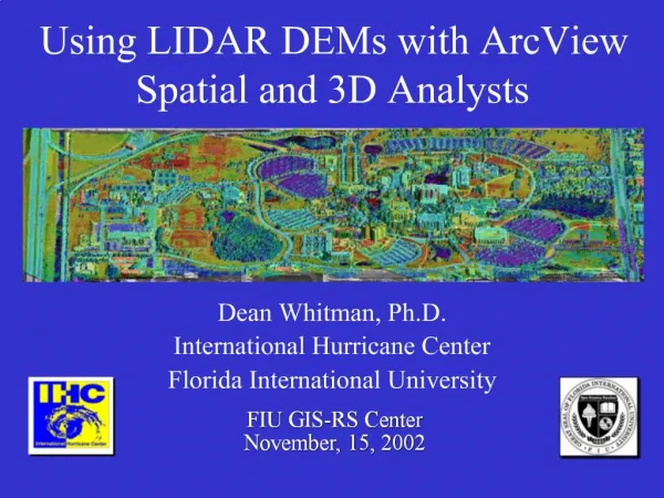
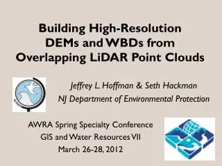
Building High-Resolution DEMs and WBDs from Overlapping LiDAR Point Clouds. Jeffrey L. Hoffman & Seth Hackman NJ Department of Environmental Protection. AWRA Spring Specialty Conference GIS and Water Resources VII March 26-28, 2012. 8-digit hydrologic units HU8s – 12 1:100,000?

E N D
Building High-Resolution DEMs and WBDs fromOverlapping LiDAR Point Clouds Jeffrey L. Hoffman & Seth Hackman NJ Department of Environmental Protection AWRA Spring Specialty Conference GIS and Water Resources VII March 26-28, 2012
8-digit hydrologic units HU8s – 12 1:100,000? USGS, 1974
11- & 14- digit HUs HU11s – 150 HU14s – 921 1:24,000 USGS, 1995
New Hydrography 1:2,400 2002 – 2010 Now available on NHD!
12-digit HUs HU12s – 273 1:24,000 elevation, 1:2,400 hydrography EPA, 2009
GOAL: New 14-digit HUs 1:2,400 elevation 1:2,400 hydrography
Watershed Management Areas NJDEP 2000 WMAs WMA #11
Need a DEM. But different LiDAR collections with different DEMs.
LiDARCoverages Highlands( 2007, 5 feet) Hunterdon (2006, 10 feet) Southern Monmouth (2004, 3 meter) • Mercer • (2009, 1 meter)
Composite 3-meter DEM
new NHD hydrography • new DEM • old HU14s
Burn In: • connectors • pipelines • conduits
Recondition Fill Sinks
Flow Direction Flow Accumulation Stream Grid Stream Link Drainage Network
Drainage Network & Catchment Polygons
QAQC - reality check NHD lines old HU14s pour points aerials drain lines catchment Add more pipelines where needed. Return to burn-in step. When perfect, stop.
new NHD • new DEM • new HU14s
Old HU14 New HU14s show ~400 acres drains northeast to Raritan River, not southwest to the Delaware River. New HU14
What’s Next? • Raise funding • Now building a statewide 10’ DEM • Remaining 19 WMAs
What’s Next? • PA & NY HUs • renumbering
What’s Next? • Tidal areas • Low relief
What’s Next? • Meet WBD standards • Rebuild HU8s and HU12s as necessary • Submit to WBD
2-Digit HUs USGS WSP 2294, 1987