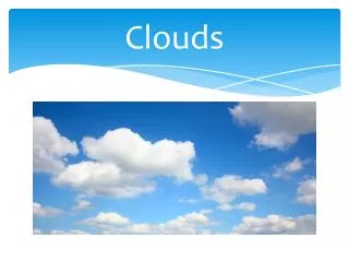
Understanding Cloud Classification: The Legacy of Howard and CloudSat's Advances in Meteorology
This text explores the classification of clouds, drawing on Howard's foundational terms and definitions, such as Cirrus, Cumulus, and Stratocumulus, which remain relevant today. It highlights the evolution of cloud nomenclature and the contributions of the CloudSat mission, launched in 2006, which revolutionizes cloud profiling. This satellite provides crucial data, enhancing weather forecasting and climate research. The collaboration between various organizations underscores the importance of cloud studies for understanding Earth's energy systems and improving environmental management.

Understanding Cloud Classification: The Legacy of Howard and CloudSat's Advances in Meteorology
E N D
Presentation Transcript
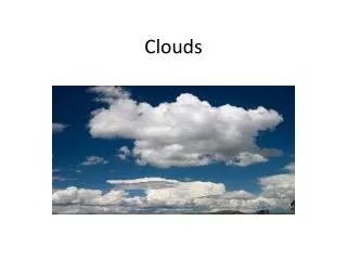
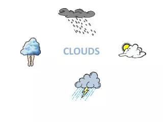
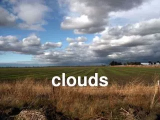
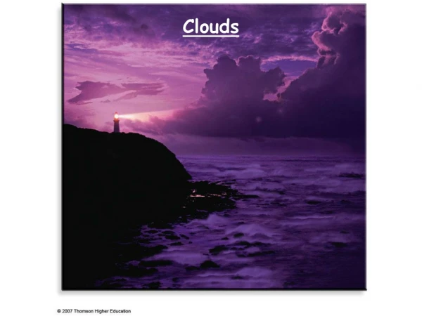
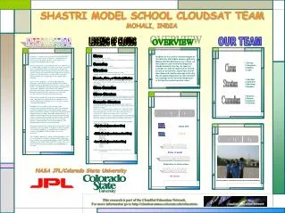
Cirrus • (from Latin for "fiber" or "hair")In Howard's words: "parallel, flexuous, or diverging fibres, extensive in any or in all directions" • (from the Latin for "heap" or "pile")"convex or conical heaps, increasing upwards from a horizontal base" • (Adapted from the Latin stratum for "layer" or "sheet")"a widely extended continuous horizontal sheet, increasing from below upwards" • ...Which Howard considered to be a rainy combination of the three major types— "The rain cloud. A cloud or system of clouds from which rain is falling..." • His intermediate types also included: • "Small, well defined roundish masses, in close horizontal arrangement or contact" • "Horizontal or slightly inclined masses attenuated towards a part or the whole of their circumference, bent downward, or undulated, separate or in groups consisting of small clouds having these characteristics" • "The cirro-stratus blended with the cumulus, and either appearing intermixed with the heaps of the latter or super-adding a wide spread structure to its base " • There were a number of attempts to modify this simple classification over the years, but the naming of clouds given to us by Howard has remained largely intact. The first true change to Howard's list was "stratocumulus", replacing the cumulo-stratus. The ultimate acceptance of stratocumulus as "a layer of cloud not flat enough to be called pure stratus by rising into lumps too irregular and not sufficiently rocky to be called true cumulus" occurred in the late 19th century.1 • The present-day classification adopted by the World Meteorological Organization is as follows: • Cirrus • Cirrocumulus • Cirrostratus • Altocumulus • Altostratus • Nimbostratus • Stratocumulus • Stratus • Cumulus • and the final cloud type extending through all ranges of altitudes is • Cumulonimbus Cumulus Stratus (Cumulo-, Cirro-, or Stratus-) Nimbus Cirro-Cumulus Cirro-Stratus Cumulo-Stratus - High Clouds (bases above 6 km) - Middle Clouds (bases between 2 and 6 km) - Low Clouds (bases below 2 km) SHASTRI MODEL SCHOOL CLOUDSAT TEAM MOHALI, INDIA OUR TEAM LEGENDS OF CLOUDS INTRODUCTION OVERVIEW Students of our school records images of the total sky with digital camera, gifted by Madam Nandini Mcclurg to our school ,as they observe and record the images of clouds formed in the sky .As types of contrails are also be observed as formed by any jet at that time. Apart from this we also observed clouds coverage in the sky. By rain gauge apparatus we also measure the readings of the rain and temperature of the day by measuring solar noon. CloudSat, a satellite mission conceived by Colorado State University scientist Graeme Stephens, celebrated its first anniversary on Saturday, 28 April, as the world's most sensitive cloud-profiling radar in orbit. Since launching into an orbit 705 km (438 miles) above Earth on 28 April 2006, CloudSat has made 5,307 orbits around the Earth, snapped 162 million vertical profiles of clouds and distributed more than 6 terabytes of data to the international science community, according to the Cooperative Institute for Research in the Atmosphere, or CIRA, which is based at Colorado State and is responsible for the satellite's data collection. In this mission, Stephens, a University Distinguished Professor in atmospheric science, provides the scientific guidance and is responsible for the mission's success while NASA's Jet Propulsion Laboratory manages and implements the mission. CloudSat is one of only three principal investigator-led Earth science missions launched or about to be launched by NASA and is one of the very few Earth missions that has had such university leadership. Other partners include Ball Aerospace and Technologies Corp., which built the spacecraft for the CloudSat mission, the U.S. Department of Energy, the U.S. Air Force, and the Canadian Space Agency. CloudSat is the first radar to look vertically at the characteristics of clouds, particularly water and ice content that could someday help scientists better predict weather patterns and climate changes. Researchers around the world will benefit from the radar's data about cloud processes. In addition to improving weather forecasting, the data will help scientists understand how clouds determine Earth's energy balance, thus increasing the accuracy of severe storm warnings, improving water resource management, and developing more advanced radar technology. During the expected 22-month duration of the mission, CIRA will process and store about 12 terabytes of data. A terabyte is one million megabytes - a megabyte has enough disk storage to hold about 20,000 average-sized e-mail messages. The CloudSat spacecraft is flying in orbital formation as part of a constellation of satellites, including NASA's Aqua and Aura satellites, the French Space Agency (CNES) PARASOL satellite and the NASA-CNES CALIPSO satellite. This is the first time that five research satellites are flying together in formation 1.Diksha 2.Anupama 3.Sophia 4.Jyoti 1.Amritpal 2.Amarjeet 3.Navdeep 4.Nishant 1.Shaveta 2.Neelam 3.Gurpreet 4.Priyanka Cirrus Stratus Cumulus OBSERVATION METHOD 2 MAY 2007 8:19 am Cirrus in south Altostratus in all directions No clouds DATE: TIME: OBSERVATION METHOD HIGH CLOUDS MIDDLE CLOUDS NASA JPL/Colorado State University LOW CLOUDS (School students viewing the clouds from the school building) This research is part of the CloudSat Education Network. For more information go to http://cloudsat.atmos.colostate.edu/education