GIS Perspective and Approach in Historic District Mapping
Explore GIS viewshed analysis of the Dune Shacks of Peaked Hill Bars Historic District, with a focus on historic preservation and data management, using a cartographic model for threatened properties. Learn about the role of CRGIS in cultural resource stewardship.

GIS Perspective and Approach in Historic District Mapping
E N D
Presentation Transcript
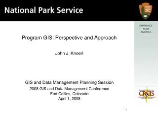
Program GIS: Perspective and Approach John J. Knoerl GIS and Data Management Planning Session 2008 GIS and Data Management Conference Fort Collins, Colorado April 1, 2008
Dune Shacks of Peaked Hill Bars Historic District This GIS viewshed analysis map shows the National Register-eligible historic district in black and the dune shacks as white dots within the district; roads, trails, and lakes are shown in white (Knoerl and Chittenden 1990:7).
Cartographic Model for Historic Properties Threatened by Southern CA Fires of October 2007 Source Data Operations Derived Maps Operation User Input Source Data Operation Derived Map Solution Map
1992 2000 How Battlefields Disappear 2006 Greater battlefield “Bloody Ground” Buffer surrounding Fragmentation statistics
Training Hands on instruction with GIS and GPS technologies allow preservationists to get the most out of one-day, two-day, or week long courses.
Historic district with contributing properties Historic district without Contributing properties What OMB Circular A-16 Defines for the NPS * Circular A-16 designates the National Park Service as the lead agency for cultural resources, responsible for the stewardship of the cultural resource data theme * Within the National Park Service the Cultural Resources Geographic Information Services (CRGIS) office has been given this responsibility ? ? Need for standards
Surveyors in the Lower Ninth Lower Ninth Historic Properties
Questions? • John J. Knoerl • Program Manager: CRGIS Facility • Heritage Documentation Programs • National Park Service • Department of the Interior • 1849 C Street, N.W. (2270) • Washington, D.C. 20240-0001 • Voice: 202.354.2140 • Fax: 202.371.6473 • John_Knoerl@nps.gov