Download
1 / 40
400 likes | 512 Views
Introductions. U.S. Army Corps of Engineers Metro Parks Mayor’s Office Metro Council District Representatives HDR, Inc. Presentation Outline. Meeting Purpose Overview of Louisville Loop Project Background Draft Recommended Alignment Next Steps. Meeting Purpose.

E N D
Introductions • U.S. Army Corps of Engineers • Metro Parks • Mayor’s Office • Metro Council District Representatives • HDR, Inc.
Presentation Outline • Meeting Purpose • Overview of Louisville Loop • Project Background • Draft Recommended Alignment • Next Steps
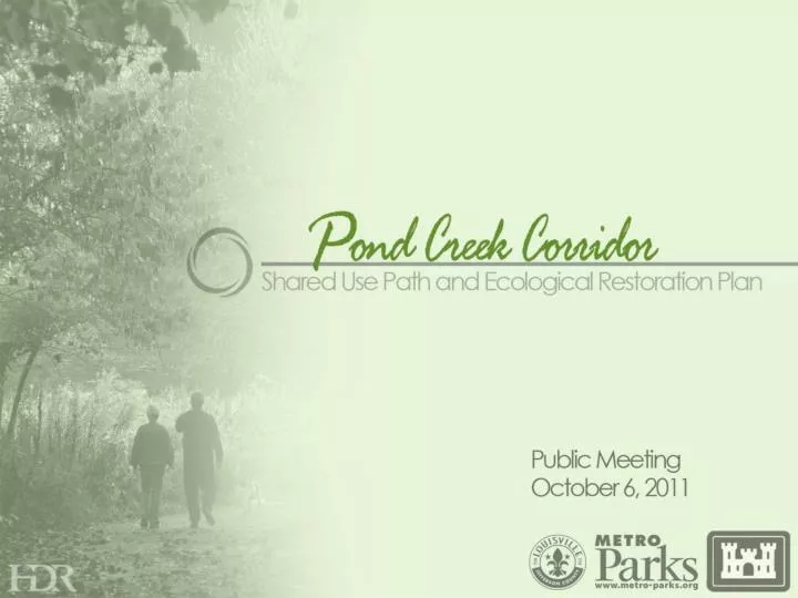
Meeting Purpose Presentation and input on the Draft Recommended Alignment
Louisville Loop Overview Master Plan
Shared-Use Path Goals • Provide connectivity to neighborhoods, schools, parks, workplaces, and commercial districts. • Achieve proper balance between trail user experience and cost. • Minimize disturbance to environmentally sensitive areas. • Consideration for efficient multi-model transportation
Review of Past Public Meetings • Public Meeting #1- October 19, 2010 Introduction to Project & Information Gathering • Public Meeting #2- February 15, 2011 Presentation of Initial Shared Use Path Sub-Routes
Review of Past Public Meetings • Public Meeting #3- June 22, 2011 Presentation of Preliminary Alignments
Site Analysis Challenges Gene Snyder Freeway Dixie Highway Railroads Driveways
Site Analysis Challenges Topography Sensitive Environments Narrow R.O.W. Potential Land Acquisition
Site Analysis Opportunities Neighborhoods Schools Commercial Districts Parks
Site Analysis Opportunities Existing Roadway Crossings Existing Railroad Crossings Jefferson Memorial Forest Pond Creek
Shared Use Path Sections What Will the Path Look Like? Path Adjacent to Roadways Path Within Natural Areas
Shared Use Path Sections What Will the Path Look Like? Path Adjacent to Gene Snyder Hwy Soft Surface Path
Shared Use Path Sections What Will the Path Look Like? Sharrow with Adjacent Sidewalk Path Adjacent to Railroad
Shared Use Path Sections What Will the Path Look Like? Path within Commercial District (Bike Lane) Path within Commercial District (2-Way Cycle Track))
Draft Recommended Alignment Area 1- Watson to Blevins Gap • ALTERNATE SEGMENT 1 • - Frost Middle School/Shipley • ADVANTAGES • - Scenic • - Safety (few vehicular conflicts) • - Connectivity- good (Frost Middle School) • DISADVANTAGES • - Dixie Hwy crossing- requires new traffic • signal or pedestrian bridge • - P&L Railroad crossing- utilizes private • drive • - Trail corridor is isolated on east side of • Dixie Hwy • COST • - Additional $2,500,000
Draft Recommended Alignment Area 2- Blevins Gap to Stonestreet
Draft Recommended Alignment Area 3- Stonestreet to Manslick or Blevins Gap • ALTERNATE SEGMENT 2 • - Manslick Overpass • ADVANTAGES • - Length-shorter than Recommended • Alignment • - Cost-lower than Recommended • Alignment • - Takes full advantage of existing MSD Trail • DISADVANTAGES • - Less scenic than Recommended • Alignment • - More vehicular traffic • - Longer bridge over freeway • - MSD Trail flooding • COST • - Additional $1,100,000
Draft Recommended Alignment Area 4- Blevins Gap or Manslick to National Tpke • ALTERNATE SEGMENT 3 • - Brown Austin Rd/Fairdale High School • ADVANTAGES • - Safety (few vehicular conflicts) • - Avoids commercial driveways and impacts to parking lots • - User experience • DISADVANTAGES • - Economic development potential- less than • Recommended Alignment • - Connectivity to Fairdale- less than Recommended Alignment • COST • - Additional $740,000 • ALTERNATE SEGMENT 4 • - Jefferson Memorial Forest/ Tom Wallace Recreation Area • ADVANTAGES • - Safety (few vehicular conflicts) • - Scenic • - Connection to Jefferson Memorial Forest • - No land acquisition required • DISADVANTAGES • - Large construction disturbance to forest • - Steep trail grades- difficult for some users • - Less connectivity to neighborhoods • - High cost • COST • - Additional $6,350,000 to $13,200,000
Draft Recommended Alignment Jefferson Memorial Forest- Soft Surface Trail Section
Draft Recommended Alignment Jefferson Memorial Forest Hard/Soft Paths With Walls
Draft Recommended Alignment Jefferson Memorial Forest Hard/Soft Paths Without Walls
Draft Recommended Alignment Preferred Alignment Overview
Ecological Restoration Opportunities Riparian Reach 1 Trail Location
Ecological Restoration Opportunities Riparian Reach 1
Ecological Restoration Opportunities Riparian Reach 1 Pendleton Road
Ecological Restoration Opportunities Riparian Reach 1 Floodplain Bench
Ecological Restoration Opportunities Riparian Reach 1 Newbury Structure
Ecological Restoration Opportunities Riparian Reach 1 J-Hook Vein
Ecological Restoration Opportunities Riparian Reach 1 Cross-Vein
Ecological Restoration Opportunities Pond Creek Reaches - General • Based on preliminary evaluations, there are opportunities for: • Flood Risk Management • Riparian Corridor Improvements • Stream Channel Ecology • Studies Required • Identification Areas of Need/Priority • Project Determination • Potential USACE Feasibility Study
Next Steps Preparation of Final Plan Report: • Input from this meeting • Comment Forms http://www.louisvilleky.gov/MetroParks/aboutus/contactforms/emailmetroparks.htm • Email to John Swintosky • Metro Parks and local government coordination