Download
1 / 23
230 likes | 352 Views
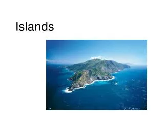
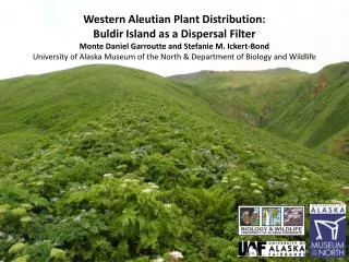
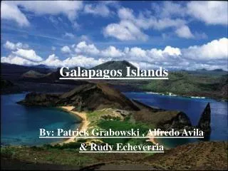
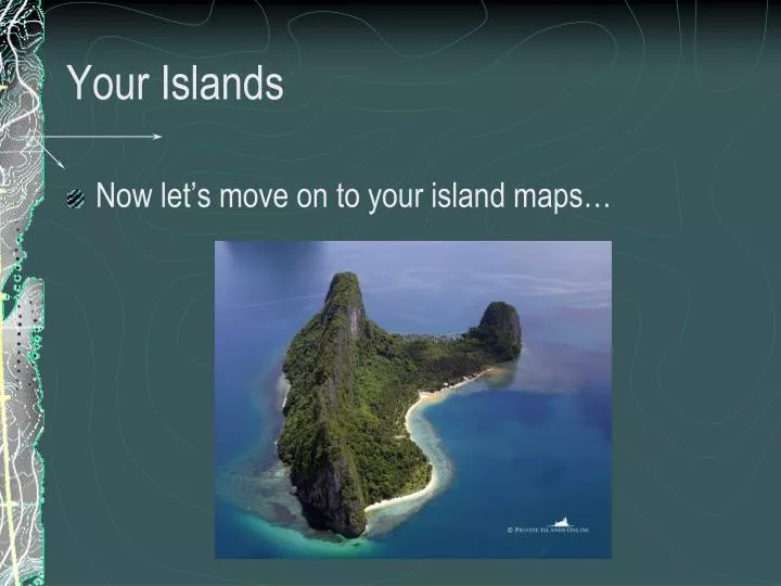
Your Islands. Now let’s move on to your island maps…. Add to Your Island…. Look at your island map. Identify and List at least10 landforms on your island. If you have less than 10, modify some of your contour lines to show at least ten landforms. Wind Patterns.

E N D
Your Islands Now let’s move on to your island maps…
Add to Your Island… Look at your island map. Identify and List at least10 landforms on your island. If you have less than 10, modify some of your contour lines to show at least ten landforms.
Wind Patterns • Winds will tell you where your rivers and lakes will form on your island. Let’s look at how the wind effects your island. Wind
Rivers flow DOWNHILL! • Make sure your rivers flow from areas of higher elevation to lower and the forks should join as the water flows downhill
Notice the small branches joining together in this V-Shaped valley How do you show a V-Shaped valley on a topo map?
V-Shaped Valleys • To show a V-Shaped valley….your contour lines need to make a “V” pointing uphill when they cross your rivers
Here is a good example of how a number of contour lines point upstream (and uphill) where they cross the creek
Global Wind Patterns Wind Patterns Change your Island as a result of the wind patterns in your location. For example…
Deltas • Notice that a delta also forms where the river empties into the sea.
Deltas • In Greek, Delta is a letter of the alphabet written with a triangle. A river delta also often takes the shape of a triangle.
Wind Patterns • Winds will also tell you where the waves will crash into your island – this shapes your island.This is called the windward side of your island. Wind
Wind Patterns • This is called the windward side of your island. Winds
Wind Patterns • You often get cliffs to form on the windward side of your island • Erase and adjust the contour lines along the windward side of your island to show this. Winds
Ocean Currents! • Ocean Currents determine where the beach is on your island. The ‘protected’ side of your island is where beaches occur. Ocean Currents Ocean Currents
Ocean Currents! • Ocean Currents determine where the beach is on your island. They also show where the waters are shallower and deeper off the coast of your island. Ocean Currents
Ocean Currents! • More Examples… Ocean Currents Ocean Currents
Last item to add to your island… • Draw two dotted lines around your island to show where the waters are shallower and deeper around the coast. • When you are all done with everything, pick up a checklist to make sure everything has been done.
Global Ocean Currents Ocean Currents Change your Island as a result of the ocean currents in your location. For example
Re-Draw your Island Map Now that all your changes have been made, it’s time to re-draw your island on a nice, clean sheet of paper.