Download
1 / 57
580 likes | 710 Views
This study provides an in-depth examination of land use and agricultural practices across six distinct geographical regions. It covers critical aspects such as land area distribution, types of irrigation, soil conditions, rainfall, and temperature impacts on agriculture. The analysis includes household landholding statistics, small-scale non-agricultural activities, and the infrastructure supporting agricultural processes. Key insights into primary production, crop preferences, sources of seeds, fertilizer use, processing industries, and food sufficiency are also presented, highlighting regional challenges and opportunities for sustainable agricultural development.

E N D
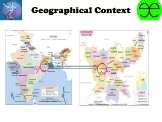
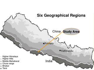
Six Geographical Regions Study Area
Geographic area and distribution (in hectare)
LANDUSE District Landuse
Household with Small Scale Non-agriculture Activities
Primary production Land Ownership National average 40%
Primary production Source of livelihood Major crop
Primary production Seed used
Primary production Source of hybrid seeds
Primary production Managing local seeds
Primary production Fertilizer use
Primary production Fertilizer source
Primary production Chemical fertilizer distribution
Primary production Production trend
Primary production Food sufficiency
Processing and packaging Activities • Raw material from local market • No secondary product is sold by farmers • Profit is trader based • 128 food processing industries (rice, oil, flour mills; biscuits, noodles, pulses, dalmoth, bread etc.)
Processing and packaging Determinants • No government regulation • Adequate roads for transportation • Technology is primitive at the village level, but modern in the mills • Consumer demand is mostly for unprocessed food
Distribution and Retailers • Government policy ineffective due to falling surplus • Trade pattern : more export • Food Corporation distributes food • Food For Work is also implemented • Population distribution is fairly uniform (villages within few kilometers)
Distribution Import and export
Labor Farm labor Land preparation
Health Arsenic exposure
Health Diseases Reported cases
Preference Dietary habit
Preference Food preference Daily Meals
Preference Vegetable consumption Other vegetables include Potato, Onion, Beans etc.
Preference Source of Vegetable Market place
Preference Tiffin (snacks)
Preference Fruit consumption
Availability Cereals Production
Availability Pulses Production
Availability Vegetable Production
Availability Oil seeds Production
Availability Fruits Production
Availability Crop wise production trend (% hh)
Distribution Food Sufficiency
Distribution Food Insufficiency Period Surplus food
Distribution Preference to store
Distribution Storage facility
Distribution Storage of major seeds at home (% hh)
Distribution Household reporting immediate sale