Download

1 / 11
120 likes | 418 Views
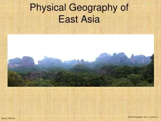
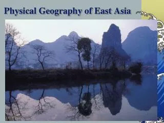
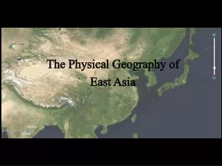
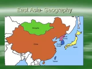
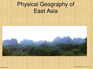
East Asia Geography . China’s Mountains. Himalayas divide China from Nepal Highest peak in the world is Mt. Everest . Plateau of Tibet. Spreads across one-fourth China’s land Highest plateau on earth and is known as the “roof of the world”. China’s Rivers.

E N D
China’s Mountains • Himalayas divide China from Nepal • Highest peak in the world is Mt. Everest
Plateau of Tibet • Spreads across one-fourth China’s land • Highest plateau on earth and is known as the “roof of the world”
China’s Rivers • Huang He begins in Plateau of Tibet, flows east and is called yellow river because of the silt that covers the plains. AKA- China’s Sorrow • Yangtze- longest river at 3,400 miles long. Flows east.
North China Plain • Is in eastern China and is fertile from alluvial soil from the Huang He and loess brought from winds.
China’s Deserts • Taklimakan is in northwest China and is 600 miles wide. Dust storms in the spring lift the dust up to 13,000 feet high • Gobi desert is located in central northern China. Name means waterless place and can temps can range from 114 to -40 degrees.
Japan • Four main islands are Hokkaido, Honshu (largest) , Shikoku, and Kyushu. Sits atop two tectonic plates.
Mountains and Volcanoes • Mountains cover more than 80% of Japan’s land. Japan’s tallest mountain is Mt. Fuji • Volcanic eruptions are common in Japan which is part of the Ring of Fire.
Earthquakes and Climate • Japan records as many as 1,500 minor earthquakes per year. Construct buildings able to withstand earthquakes. • Climate is controlled by monsoons. They experience typhoons in summer and early fall.
The Koreas • Located on the mountainous Korean peninsula. • North Korea is filled with mountains and valleys • South Korea is mixed with rugged mountains, coastal plains, and river valleys.
On your map label: • Gobi • Taklimakan Desert • YangtzeRiver • Huang He River • Korean Peninsula • Himalayan Mountains • Mount Everest • Mount Fuji • North China Plain • Indian Ocean • Pacific Ocean • Bay of Bengall • South China Sea • Yellow Sea • Sea of Japan