Download
1 / 41
420 likes | 629 Views
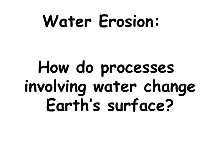
Water Erosion: How do processes involving water change Earth’s surface?. What is the MAJOR agent of erosion that has shaped Earth’s land surface? Moving Water (Water Erosion). Water moving over land’s surface is called runoff . This may cause sheet erosion. The amount of

E N D
Water Erosion: How do processes involving water change Earth’s surface?
What is the MAJOR agent of erosion that has shaped Earth’s land surface? Moving Water (Water Erosion)
Water moving over land’s surface is called runoff. This may cause sheet erosion.
The amount of water runoff in an area depends on 5 main factors:
The amount of rain an area receives. • Vegetation - grasses, shrubs & trees reduce runoff • Type of soil- some absorb more water than others • Shapeof the land – steep slopes has more run-off, which causes more runoff • How people use the land– parking lots & crop removal increase run-off
Runoff overtime: How does runoff over time affect the land and water?
Rills & Gullies Rills are tiny grooves in the soil that grow larger forming gullies. A gully is a large groove or channel in the soil that carries runoff after a storm. It moves soil & rocks. Gullies only contain water after it rains.
Streams & Rivers Gullies join together to form a larger channel called a stream. Water continuously flows here and rarely dries up. Small streams may be called creeks or brooks. Small streams flow together to form a large stream called a river.
Rill, Gully, Stream Rill erosion at a construction site.Image by M. Mamo, Labels added by UNL Gully erosion in a pasture.Image by NRCS Stream
Tributaries Streams grow together by getting water from tributaries. A tributary is a stream or river that flows into a larger river. An example: The Missouri & Ohio rivers are tributaries of the Mississippi river. Tributaries collect their water from the drainage basin or watershed.
Rivers & Tributaries http://images.google.com/imgres?imgurl=http://knol.google.com/k/-/-/3ajhc7zrwtav1/c1ssz4/figure-1%2520(2).bmp&imgrefurl=http://knol.google.com/k/new-orleans-the-geologic-difficulties-with-the-big-easy-part-1&usg=___SPqqMAUDGF2VVgD-x0Wwvs-5xk=&h=394&w=432&sz=31&hl=en&start=5&um=1&tbnid=ShJceJzlrtYlWM:&tbnh=115&tbnw=126&prev=/images%3Fq%3DMississippi%2Briver%2Band%2Bits%2Btributaries%26hl%3Den%26um%3D1
Rivers cause erosion and create valleys, waterfalls, flood plains, meanders and oxbow lakes. Rivers form on steep mountain slopes.
How do they flow? Quickly & follow a narrow path How do they erode? Rapidly The result is that rivers form deep, V-shaped valleys.
Valleys http://www.google.com/imgres?imgurl=http://cgz.e2bn.net/e2bn/leas/c99/schools/cgz/accounts/staff/rchambers/GeoBytes%2520GCSE%2520Blog%2520Resources/Images/Rivers/V-shapedvalley.jpg&imgrefurl=http://geobytesgcse.blogspot.com/2006/11/upper-course-of-river-v-shaped-valleys.html&usg=__Hp8C8YOunbWzJy9E7kbQcOiURzA=&h=308&w=411&sz=47&hl=en&start=0&zoom=1&tbnid=giwF1FppYFy8zM:&tbnh=116&tbnw=154&ei=-kk2TfKtEMH68AbI__2tBA&prev=/images%3Fq%3Dv-shaped%2Bvalley%26um%3D1%26hl%3Den%26sa%3DN%26biw%3D1280%26bih%3D531%26tbs%3Disch:10%2C35&um=1&itbs=1&iact=hc&vpx=247&vpy=77&dur=701&hovh=194&hovw=259&tx=161&ty=116&oei=g0k2TbG1L4T58Aa8nOC7Aw&esq=12&page=1&ndsp=22&ved=1t:429,r:1,s:0&biw=1280&bih=531 http://images.travelpod.com/users/the-boy_picot/3.1149265860.580x-nice-v-shaped-valley.jpg
Features of rivers: What features are formed by erosion along a river?
Waterfalls Occur where? Where a river meets an area of hard & slowly eroding rock Then flows over softer rock downstream. How does softer rock erode? What results from this erosion? The softer rock erodes away faster & a waterfall develops.
Waterfalls Waterfalls at the Plitvicka Jezera National Park in Croatia Minnehaha Falls, Minneapolis Minnesota http://images.google.com/imgres?imgurl=http://realestate-inminnesota.com/images/Minneapolis.jpg&imgrefurl=http://realestate-inminnesota.com/&usg=__kBY-WaWcelJlC-sNAEDq6zr8eLY=&h=599&w=800&sz=162&hl=en&start=5&um=1&tbnid=WO5G4jC_rIKDMM:&tbnh=107&tbnw=143&prev=/images%3Fq%3Dminnehaha%2Bfalls,%2Bmn%26ndsp%3D18%26hl%3Den%26sa%3DG%26um%3D1
Flood Plain What is a flood plain? A wide valley in which a river flows What happens to the land during a flood? The water in the river over flows its banks into this wide river valley area.
Meanders What are meanders? Loop-like bends in the course of a river. Where & how do they occur? They occur as the outer bank of a river is eroded & deposits are dropped on the inner bank of the bend in a river.
Example: The southern stretch of the Mississippi River meanders on a wide, gently sloping flood plain area.
Meanders http://images.google.com/imgres?imgurl=http://www.ecology.info/img/Mississippi-River.jpg&imgrefurl=http://www.ecology.info/article.aspx%3Fcid%3D12%26id%3D10&usg=__B9CvpJJ70Ydm7HE2LjHs3GW76Ec=&h=450&w=600&sz=57&hl=en&start=8&tbnid=Q3zaqdFNmc7QVM:&tbnh=101&tbnw=135&prev=/images%3Fq%3Dmeanders%26gbv%3D2%26hl%3Den%26sa%3DG
Oxbow Lakes What is an oxbow lake? A meander that has been cut-off from the river. They may form when a river floods as high water finds a straighter path downstream . As flood waters fall, sediments dam up the ends of the meander and a lake forms.
Oxbow Lakes http://muller.lbl.gov/travel_photos/AmazonWebPages/AmazonWebPages-Images/1.jpg
Deposits by rivers are made as the water slows down and the fine particles settle in the river bed. Larger stones quit rolling and sliding.
Deposits by Rivers: What features result from deposition along a river?
Alluvial Fan An Alluvial Fan is a wide, sloping deposit of sediment formed where a stream leaves a steep, narrow mountain valley range. This deposit is shaped like a fan.
Alluvial Fan http://images.google.com/imgres?imgurl=http://www.windows.ucar.edu/earth/geology/images/alluvial_fan_lg.jpeg&imgrefurl=http://www.geol.umd.edu/~jmerck/geol100/lectures/29.html&usg=__VqWMw_HzDv3NLfoFn6sm1k93LcI=&h=341&w=512&sz=65&hl=en&start=2&um=1&tbnid=U5ue3WUHzgtnSM:&tbnh=87&tbnw=131&prev=/images%3Fq%3Dalluvial%2Bfan%26hl%3Den%26sa%3DN%26um%3D1
Deltas Deltas form when sediments are deposited where a river flows into an ocean or a lake. This landform is built up as the sediments drop.
Deltas http://www.dmcii.com/disasters/new_orleans/mississippi_delta.jpg
Soil may also be added to Flood Plains during floods as sediments are deposited. This new soil added to the area makes the river valley fertile. Forests and crops may be grown here.
Groundwater Erosion: What results from water seeping into the ground & mixing with CO2?
Not all rain water evaporates or becomes runoff. How does water get underground? Water soaks into the ground, filling openings in the soil and trickling into cracks & spaces in layers of rock.
Groundwater causes which type of erosion? Chemical weathering What acid forms when carbon dioxide & water combine? Carbonic Acid This weak acid can break down limestone that will gradually hollow out pockets in the rock. Over time, the pockets develop into large holes called caves or caverns.
Cave Formations: What are the features found in a cave? How do they form?
What are stalactites? Calcite deposits that hang from the cave’s roof likeicicles What are stalagmites? Cone-shaped calcite deposits that build up from the cave floor
Ellison’s Cave in Walker County, Georgia http://www.georgiaencyclopedia.org/nge/Article.jsp?id=h-2130 http://www.georgiaencyclopedia.org/nge/Article.jsp?id=h-2130
Karst Topography: What happens when land rich in limestone is weathered by groundwater?
Define Karst Topography A type of landscape that is created in a region where a layer of limestone near the surface forms deep valleys, caverns and sinkhole
Karst Topography http://www.virginiacaves.org/lok/ccvup56.jpg
Karst Topography http://4.bp.blogspot.com/_JRp7TJWTx4A/S8Z8B2hEMVI/AAAAAAAAAVk/h0MJosarOQ0/s320/karst_cave.jpg