Download
1 / 6
61 likes | 75 Views
Geospatial, GIS, GNSS, Satellites, Remote Sensing, Building information modeling {BIM}. Earth observation, Maps, ISRO, space. Location technology, AI, IoT, Drones, UAVs... https://www.thegeospatial.in Click For More Information

E N D
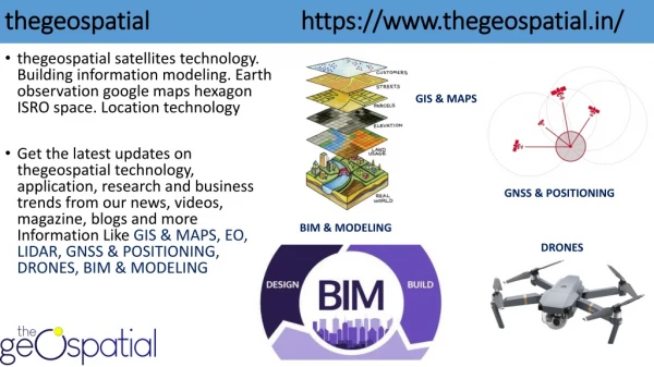
thegeospatial https://www.thegeospatial.in/ GIS & MAPS • thegeospatial satellites technology. Building information modeling. Earth observation google maps hexagon ISRO space. Location technology • Get the latest updates on thegeospatial technology, application, research and business trends from our news, videos, magazine, blogs and more Information Like GIS & MAPS, EO, LIDAR, GNSS & POSITIONING, DRONES, BIM & MODELING GNSS & POSITIONING BIM & MODELING DRONES
https://www.thegeospatial.in/ Gnss-Positioning • Global Navigation Satellite System (GNSS) refers to a constellation of satellites providing signals from space that transmit positioning and timing data to GNSS receivers. The receivers then use this data to determine location • GNSS, positioning, navigation, & timing solutions. Gnss-Positioning
BIM & Modeling https://www.thegeospatial.in/ • Building Information Modeling (BIM) is a set of technologies, processes and policies enabling multiple stakeholders to collaboratively design, • (BIM) is an intelligent 3D model-based process that gives architecture, BIM & Modeling
Drones https://www.thegeospatial.in/ Drones Category Defines 1: Rotory drones Single Rotor Drone, Tricopter,Quadcopter,Hexacopter,Octocopter, 2: According to Size: Very Small Drones, Mini Drones, Medium Drones,Large Drones. 3: According to Range Very Close Range Drones,Close Range Drones,Short Range Drones,Mid Range Drones,Endurance, 4: According to Equipment With Camera, With FPV, With GPS, With Stabilizer.
LIDAR https://www.thegeospatial.in/ Terrestrial Lidar • Lidar is a surveying method that measures distance to a target by illuminating the target with pulsed laser light and measuring the reflected pulses with a sensor • There are two basic types of lidar: Airborne and Terrestrial Airborne Lidar
Coceptual Media 3rd Floor Farena Corporate Park, Mundhwa - Kharadi Rd, Kirtane Baugh, Magarpatta, Hadapsar, Pune, Maharashtra - 411028 https://www.thegeospatial.in/ info@thegeospatial.in