Download
1 / 24
240 likes | 632 Views
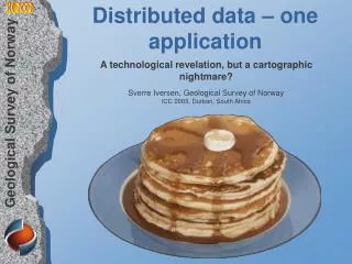
Distributed data – one application. A technological revelation, but a cartographic nightmare? Sverre Iversen, Geological Survey of Norway ICC 2003, Durban, South Africa. Contents. About us Application development WMS – what and how National Geo-portals Cartographic challenges

E N D
Distributed data – one application A technological revelation, but a cartographic nightmare? Sverre Iversen, Geological Survey of Norway ICC 2003,Durban, South Africa (Bunntekst)
Contents • About us • Application development • WMS – what and how • National Geo-portals • Cartographic challenges • Conclusions & outlook • Our WMS page
About us- www.ngu.no • Located in Trondheim • Spreading knowledge on nature resources. • Building national databases for geology. • Applied research and development
Application development- Survey libraries • General functionality • Menu functionality • URL argument functionality • WMS functionality • Language functionality • Application specific functionality • Map merging and attribute display control
WMS – what and how- fundamentals Foreground map Map Image Map Image Background map 3 types of requests: • GetCapabilities: Request to see what the map service can offer. • GetMap: Request that gives us a map image with one to many themes . • GetFeatureInfo: Request to see attributes for one or several themes at a given coordinate. The map images can be transparent and several map requests (GetMap) can constitute a composite map with several image layers.
WMS – what and how- libraries Libraries for easy definition of: • Adaptable Map Services and themes • Composite maps and legends • XSL attribute display control • Language Contains functionality for: • Map image display order • Visibility of themes • Print out layout • Status reports and Meta Data
National Geo-portals- shared infrastructure Web pilots National Geo-portals • GeoNorway (GeoNorge) • Geohazards online • Water resources • AREALIS – environmental and land use A Web Portal is a Website that offers carefully collated information and services from a variety of fields to satisfy the needs of a particular user group.
National Geo-portals- GeoNorway (GeoNorge) National Geo-portals • Data and information from private and public sector. • The pioneer project. www.geonorge.no
The Mapping Authority- GeoNorway applications National Geo-portals • Register Service name and URL • Register additional information • Generic client for visualisation of registered map services
The Geological Survey- GeoNorway application I National Geo-portals • Shows possible area conflicts • 12 image layers from 3 data providers • 5 different Map Presentations www.ngu.no/kart/natur
The Geological Survey- GeoNorway application II National Geo-portals • Generic and bilingual • Exposes all functionality from WMS library • Buttons for Services, Layer, Theme and Query
The Geological Survey- GeoNorway application functions National Geo-portals
The Geological Survey- GeoNorway attribute display National Geo-portals Servlet filtering - design control: • Table • URL redirect
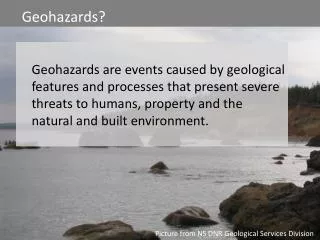
National Geo-portals- Geohazards online National Geo-portals • Landslide and snow avalanche www.skrednett.no
The Geological Survey- Geohazards online application National Geo-portals • 11 image layers from 5 data providers • 5 different Map Presentations • Bilingual www.ngu.no/kart/geohazards
The Geological Survey- Water resources application National Geo-portals • 11 image layers from 4 data providers • 6 different Map Presentations www.ngu.no/kart/dev/bronndatabasen
National Geo-portals- AREALIS National Geo-portals • Environmental and land use Services www.statkart.no/arealis
The Geological Survey- AREALIS application National Geo-portals • Generic client • 34 image layers from 6 data providers • 27 different Map Presentations www.ngu.no/kart/arealis
Cartographic challenges- dangers and limitations • Isolated cartography can be useless when combined. • WMS images cannot be partly transparent. • Fuzzy transition between non-transparent and transparent areas. • The chosen transparent colour can make objects with near colours transparent too. ArcIMS WMS
Cartographic challenges- presentation in different contexts • have a main cartography for isolated use • prepare cartography for every main context • prepare a simplified cartography for more general use in more dynamic contexts. • or - let the user symbolise the data freely Data that are not intuitively recognisable from context to context can be a nightmare to the user.
Cartographic challenges- documentation Target group Web application Composite maps Data servers
Conclusions & outlook • A shared Geo-Data infrastructure is more common now. • WMS is easy to implement and meets the demands of most users. • Geo-portals and composite maps are difficult to design. • A need for a database driven approach: Storage of functionality and cartographic rules for (dynamic?) composite maps. • WFS will be implemented, but only to a limited extent.
Our WMS page • Applications • WMS request examples • Tips & tricks • Info & presentations www.ngu.no/kart/wms