Download

1 / 19
190 likes | 1.08k Views
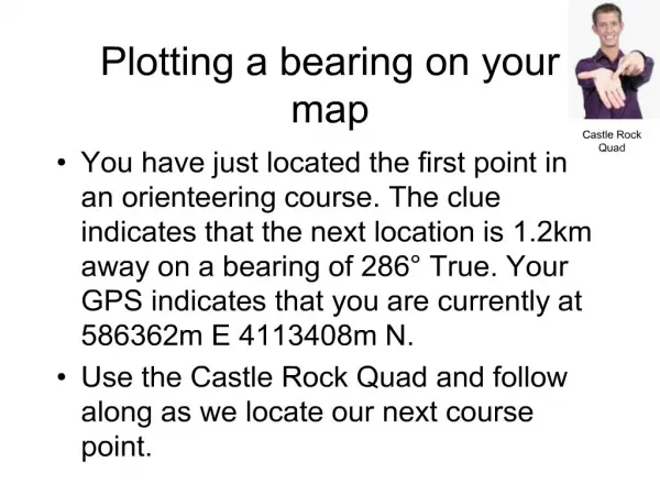
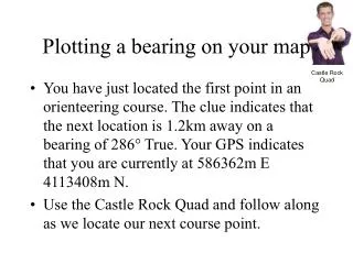
Plotting a bearing on your map. Castle Rock Quad. You have just located the first point in an orienteering course. The clue indicates that the next location is 1.2km away on a bearing of 286° True. Your GPS indicates that you are currently at 586362m E 4113408m N.

E N D
Plotting a bearing on your map Castle Rock Quad • You have just located the first point in an orienteering course. The clue indicates that the next location is 1.2km away on a bearing of 286° True. Your GPS indicates that you are currently at 586362m E 4113408m N. • Use the Castle Rock Quad and follow along as we locate our next course point.
Plotting a bearing on your map • You have just located the second point in an orienteering course. The clue indicates that the next location is 1.9km away on a bearing of 138° True. Your GPS indicates that you are currently at 585220m E 4113710m N. • Use the Castle Rock Quad and follow along as we locate our next course point.
Plotting a Magnetic Bearing • Standing at a known road junction, we sight a bearing to a nearby mountain top. We get 234° Magnetic as our bearing. • The local declination is 15°E so we add 15° to 234° to get 249° True.
Plotting a Magnetic Bearing • We set our compass to 249° • We line the north-south parallel lines in the bezel up with a north-south line on the map. • We move the compass until the edge is on the road junction. • We draw the bearing line onto the map.
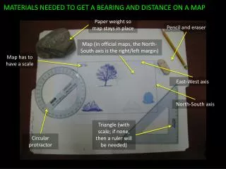
Getting a Bearing from the Map • Place the edge of the compass along the desired line of travel. • Rotate the bezel until it is lined up with true north. • Read the true bearing • Convert to magnetic by subtracting the 15° declination.
Compass Plotting Exercise • Castle Rock USGS Quadrangle • What is the true bearing from White Rock to the small pond just west of Zayante Road? • What is the magnetic bearing? • What water feature might you be looking at from White Rock at a bearing of 208° M?
Orienting your mapusing your compass • Adjust the compass to look like the declination diagram. • Set the compass down on the map with its edge parallel to a true north line. • Rotate the map and compass until the magnetic needle is boxed. • Don’t do this on a metal surface.