Download
1 / 9
90 likes | 219 Views
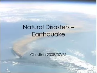
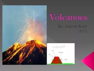
This activity involves examining a map featuring plotted data on earthquakes and volcanoes to identify their distribution. Students will observe patterns to determine if these geological events are randomly scattered or concentrated in specific regions, particularly along tectonic plate boundaries. The relationship between tectonic movements and the frequency of earthquakes and volcanoes will be analyzed, revealing insights into their correlation. The exercise aims to deepen understanding of the geological factors influencing these natural phenomena and introduce key concepts in seismology and vulcanology.

E N D
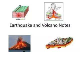
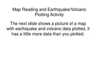
Map Reading and Earthquake/Volcano Plotting Activity The next slide shows a picture of a map with earthquake and volcano data plotted, it has a little more data than you plotted.
Observe the pattern of earthquakes and volcanoes over the surface of the Earth. Are they scattered at random or are they concentrated in certain areas? The earthquakes and volcanoes are concentrated in certain areas, the west coasts of North and South America, the border between Europe and Africa and in the islands of the Pacific. Any random earthquakes and volcanoes could be associated with hotspots or faults (cracks) in the crust.
2. Look at the map of tectonic plates that you made in class. Do you see any relationship between the map you created today and map of tectonic plates. What does that relationship seem to be? The relationship shows that earthquakes and volcanoes tend to appear at plate boundaries. Transform=earthquakes Convergent O-O=earthquakes & volcanoes* O-C=earthquakes & volcanoes* *subduction zones C-C=earthquakes & mountain building Divergent O-O= volcanoes at mid-ocean ridges C-C=earthquakes at rift valleys
3. Is there a correlation between tectonic plate boundaries and earthquakes and volcanoes? What do you think that correlation is? It appears that earthquakes and volcanoes seem to be concentrated at plate boundaries.
4. Is there a correlation between plate movement and the location of the earthquakes and volcanoes? What do you think that correlation is? Yes, there is a correlation between plate movement and earthquakes and volcanoes. All three types of plate movements result in or are associated with different geological events.
5. What kind of plate movement lends itself to earthquakes and volcanoes? Do the maps support this? Explain. Transform/sliding boundaries are associated with earthquakes. Convergent/colliding boundaries and divergent/dividing boundaries are associated with both earthquakes and volcanoes.
6. Do you think, given the data you plotted and the tectonic plate map, that you could predict the location of future earthquakes and volcanoes? YES…..tell me why? FYI- Seismologist-studies earthquakes Vulcanologist-studies volcanoes
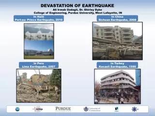
7. The area where you plotted the concentration of earthquakes and volcanoes is called “The Ring of Fire.” How do you think the area got that name? FYI-this area accounts for 90% of the world’s earthquakes.