Download
1 / 17
180 likes | 280 Views
A tool that enables the Nation to track, predict, manage and adapt to changes in our marine environment and delivers critical information to decision makers to…. Improve safety. Enhance our economy. Protect our environment. U.S. Integrated Ocean Observing System (IOOS ® ). Gabrielle Canonico

E N D
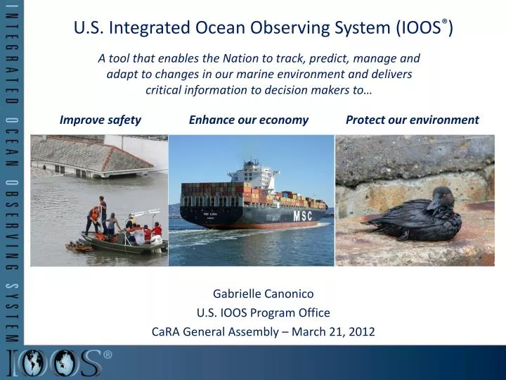
A tool that enables the Nation to track, predict, manage and adapt to changes in our marine environment and delivers critical information to decision makers to… Improve safety Enhance our economy Protect our environment U.S. Integrated Ocean Observing System (IOOS®) Gabrielle Canonico U.S. IOOS Program Office CaRA General Assembly – March 21, 2012
U.S. IOOS: Program Overview Global Component Coastal Component (EEZ to the head of tide) 12 • 7 Goals, 1 System • Improve predictions of climate changeand weather • Improve the safety and efficiency of maritime operations • Improve forecasts of natural hazards • Improve homeland security • Minimize public health risks • Protect and restore healthy coastal ecosystems • Sustain living marine resources Enhances science and improves decision making
NOAA’s Role Lead Federal Agency • ICOOS Act of 2009 named NOAA as the lead federal agency • US IOOS program office resides within NOS NOAA Contributions • Observations and models distributed across NOAA • OAR & NESDIS lead US contributions to Global Ocean Ob System • Data Management and Communications System Architect • Coordinate federal and non-federal assets to create a robust national system Value to NOAA and the Nation • Leverage the National investment in ocean observations • Over 3,200 non-NOAA regional sensors • Federal obs assets (e.g., USGS stream gauges; USACE wave buoys) • Leverage stakeholders to address societal challenges Offshore Wind Energy Coordination The value of interoperable ocean data to NOAA alone is between $38 and $60 million dollars over 15 years - IOOS Business Case
National Level • Recognized Partnerships between US IOOS Program Office and NOAA • NWS/NDBC: observing assets and data management • NOS/CO-OPS: observing assets and data management • NMFS/Science Center (Pacific Grove) – data management • Recognized Partnerships between US IOOS Program Office and other Federal Partners • USACE • Billet in the US IOOS Program Office • Waves observing • National Science Foundation – Oceans Observatories Initiative • Coordinated coastal observing; seeking co-development agreement for cyber infrastructure • National Water Quality Monitoring Network (NOAA;USGS;EPA) • National data management schema • Regionally project with EPA for improved beach water quality forecasting • Identifying additional Federal contributions through the US IOOS Blue Print assessment process
Regional Component IOOS Regional Component Focused on: Marine Operations Coastal Hazards Climate Variability & Change Ecosystems, Fisheries, Water Quality • Comprised of State, Local, Tribal governments; Federal partners; Academia; Private Sector • Meeting National missions through… • Expanded observations and modeling capacity • Connections to users and stakeholders • Implementation of national data standards • Products transitioned to other regions and to National operations
Regional Component (cntd.) Alliance for Coastal Technologies (ACT) • Sensor Testing and Evaluation US IOOS Modeling Testbed • A consortium of 60+ universities • Led by Southeastern University Research Association (SURA)
U.S. IOOS®: Modeling Testbed Coastal Inundation Gulf & Atlantic Coast • 5 teams, 64 scientists/analysts • SURA is overall lead for execution • Began in June 2010; now in the second year • Multi-sector engagement (federal agency, academia, industry) • Goals: • Less about model than process • Focus is on stable infrastructure (testing environment, tools, standard obs) and transition to operations • Enable Modeling and Analysis subsystem Rick Leuttich, UNC-CH Shelf Hypoxia Gulf of Mexico John Harding, USM Estuarine Hypoxia Chesapeake Bay Carl Friedrichs, VIMS Cyber Infrastructure Eoin Howlett, ASA Testbed Advisory Evaluation Group Rich Signell, USGS
Observing Networks: HF Radar • Stakeholders • > 30 institutions operate HF Radars • Used by >40 government/private entities • Partnership with Industry: US-based CODAR Ocean Sensor • Who Depends on it • USCG Search and Rescue: Oil spill response • Water quality; Criminal forensics • Commercial marine navigation • Offshore energy; Harmful algal blooms • Marine fisheries • Emerging - Maritime Domain Awareness • Emerging – Tsunami Decreases search area by 66% in 96 hours
Observation Networks: Waves • Nation’s wave data now accessible • 181 platforms in 2008; 227 2011 • Wave Plan called for 296 • New IOOS supported wave sites being deployed collaboratively with USACE/ CDIP program • Some platforms need to be upgraded to directional wave measurements
Biological Data Efforts • Biology Data Project • Partnership with the National Tagging and Telemetry community • Acoustic Data Management • Smithsonian Institution MarineGEO
Beach Water Quality Predictive Modeling • "This model has reduced the sampling burden for our Regional staff; but the major benefit has been the Department's quicker response time for posting beach advisories and subsequent enhancement of our agency's primary mission of protecting the public health.“ • David E. Tilson, PE, Chief, Bureau of Water, South Carolina Department of Health and Environmental Control (SCDHEC) U.S. Integrated Ocean Observing System (IOOS)
Responding to Crisis: Hurricane Irene • CaRa: • 4 buoys provided real-time observations • SECOORA: • Buoys used to initialized models/verified forecasts. • Forecast system used by Coast Guard, North Carolina Division of Emergency Management, National Hurricane Center, USACE, and multiple National Weather Service Forecast Offices • MARACOOS: • Surface currents by the High Frequency Radar • Delivered forecasts to New Jersey Board of Public Utilities , Connecticut governors office and Delaware River Basin Commission • Underwater glider collected data • NERACOOS: • Buoys critical to the National Weather Service • Local television stations in Connecticut reported conditions from the NERACOOS buoy • Northeast Coastal Ocean Forecast System (NeCOFS) provided to the National Weather Service Around-the-clock data and other information before, during and after hurricanes
Responding to Crisis: Japan Tsunami Response • CeNCOOS: • Recorded the tsunami passage with U.S. IOOS sensors • Five-fold increase in web traffic • NANOOS: • Featured “Tsunami Evacuation Zones for the Oregon Coast” application • NANOOS Visualization System provided easy access to current and water height data • Four-fold increase in web traffic • PacIOOS: • Provided the only real-time water level and turbidity measurements for Waikiki • Ten-fold increase in web traffic
U.S. IOOS® : A National Endeavor in a Global Context • Comprehensive system • Data Integration critical • Sustaining the enterprise requires engagement by all
10 Year Build Out Plans • All Regions initiated development of plans to describe the end-to-end assets needed over the next 10 years to deliver products and services to users • Build out plans identify: • Products and services to be delivered to specific user groups • Assets needed for observing, modeling, DMAC. R&D, education, governance and management • Build out plans will inform: • Regional portion of independent cost estimate of US IOOS • National synthesis of all 11 build out plans • Implementation and planning activities within regions, between regions and among regional, federal & industry participants in US IOOS