Download
1 / 20
210 likes | 495 Views
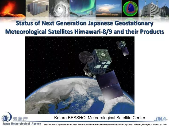
Status of Next Generation Japanese Geostationary Meteorological Satellites Himawari-8/9 and their Products. Kotaro BESSHO, Meteorological Satellite Center. Tenth Annual Symposium on New Generation Operational Environmental Satellite Systems, Atlanta, Georgia, 4 February 2014. Contents.

E N D
Status of Next Generation Japanese Geostationary Meteorological Satellites Himawari-8/9 and their Products Kotaro BESSHO, Meteorological Satellite Center Tenth Annual Symposium on New Generation Operational Environmental Satellite Systems,Atlanta, Georgia, 4 February 2014
Contents • What will Himawari-8/9 bring to us? • Development of Products • Preparation of launch and operation of Himawari-8 • Data Dissemination
What will Himawari-8/9 bring to us? HD TV B/W TV Upgrade of number of channels Upgrade of spatial and temporal resolutions
Specification of Himawari-8/9 Imager (AHI) MTSAT-1R/2 VIS IR4 IR3 IR1 IR2 3 Similar to ABI for GOES-R TrueColorImage RGBband Composited 0.51 μm(Band 2) instead of ABI’s 1.38 μm • Products and Applications • Volcanic Ash • Global Instability Index • Nowcasting • Typhoon Analysis • Atmospheric Motion Vector • Clear Sky Radiance • Sea Surface Temperature • Yellow Sands • Snow and Ice Coverage Water vapor SO2 O3 Atmospheric Windows CO2
IR image difference of spatial resolution 2km for H-8/94km for MTSAT
AHI will scan all sectors within 10 minutes Full disk Interval : 10 minutes (6 times per hour) 23 swath Region 1 JAPAN (North-East) Interval : 2.5 minutes (4 times in 10minutes) Dimension : EW x NS: 2000 x 1000 km 2 swath Region1 NE-JAPAN Region2 SW-JAPAN Region 2 JAPAN (South-West) Interval : 2.5 minutes (4 times in 10minutes) Dimension : EW x NS: 2000 x 1000 km 2 swath Region 3 Typhoon Region 3 Typhoon Interval : 2.5 minutes (4 times in 10minutes) Dimension : EW x NS: 1000 x 1000 km 2 swath Region 4 Land mark Region 5 Land mark Region 4 Land mark Interval : 0.5 minutes (20 times in 10minutes) Dimension : EW x NS: 1000 x 500 km 1 swath Region 5 Land mark Interval : 0.5 minutes (20 times in 10minutes)Dimension : EW x NS: 1000 x 500 km 1 swath
Development of products of Himawari-8/9 AHI Weather Satellite Revolution toward the New Era of Mesoscale Satellite Meteorology Higher resolution Spatial: 1km -> 0.5km for a VIS channel 4km -> 2 km for IR channels Temporal: 1 hr -> 10 min for a full disk scan 2.5min for limited areas Increased observation channels VIS: 1 -> 3 bands IR : 4 -> 13 bands Examples of expected new/enhanced products - Cloud Products - Atmospheric Motion Vectors (AMVs)- Aerosol (Dust) / Volcanic Ash Severe weather monitoring/ nowcasting Climate change monitoring Volcano eruption Ash area detection Numerical prediction Yellow sand/ dust storm Solar energy monitoring 7
International Cooperation for developments of Cloud Product, AMV and Volcanic ash products • Nov. 2012 Look Up Table (LUT) and software for Volcanic Ash retrieval was provided from EUMETSAT. • Jan. 2013 JMA invited scientists from EUMETSAT and UK Met Office. Dr. Hans-Joachim Lutz (EUMETSAT) Dr. Régis Borde (EUMETSAT) Dr. Peter Francis (UK Met Office) • Feb. 2013 JMA invited scientist from NOAA/NESDIS Dr. Andrew Heidinger (NOAA/NESDIS) Dr. Mike Pavolonis (NOAA/NESDIS) • April-May 2013 JMA/MSC scientist visited EUMETSAT for the development of OCA and AMV. Mr. Masahiro Hayashi (JMA/MSC) • March 2014JMA will invite scientists from NOAA/NESDIS for Volcanic ash product. • March 2014 JMA scientists will visit EUMETSAT to discuss cloud analysis product and AMV. We greatly appreciate kind cooperation of NOAA/NESDIS and EUMETSAT.
Transition of Operational Satellites Operational In-orbitstandby Operational In-orbitstandby In-orbitstandby Launch Operational In-orbitstandby Manufacturing In-orbitstandby Operational Launch • JMA plans to launch Himawari-8 in 2014and begin its operation in 2015. • The launch of Himawari-9 for in-orbit standby is scheduled in 2016. • Himawari-8/9 will be in operation around 140 degrees East covering the East Asia and Western Pacific regions for 15 years.
Appearance of Himawari-8/9 Star Tracker AHI (Advanced Himawari Imager) Ka-band Antenna Ku-band Antenna UHF-band Antenna Solar Array Panel DS-2000 Imager Bench Space Environment Data Acquisition Monitor (SEDA)
MSC Web Page for Himawari-8/9 Information MSC website top page http://mscweb.kishou.go.jp/ Details of AHI
Himawari-8/9: Technical Information To support research and development of products based on Himawari-8/9, • Himawari Standard Data Format and Sample data • Simulation data generated using a radiative transfer model are also available on JMA website. • Estimated Spectral Response Functions (SRFs) of AHI are available on JMA website.
Himawari-8/9: Data Distribution/Dissemination Himawari-8/9 Commercial Telecommunication Satellite (CTS) New equipment needs to be installed. HRITfiles,… (TBD) raw data C-band (4 GHz) DVB-S2 C-band antenna (c) CTS Operator LNB Cloud Service (a) Internet / SINET4 DVB-S2 receiver JMA Users All imagery (full resolution data) (b) Archive Server Operated by Japanese Science Group PC & software Target • Cloud Service: National Meteorological and Hydrological Services • Archive Server: Researchers • CTS: Everyone in the East Asia and Western Pacific regions
Summary • Himawari-8/9 will bring us Revolution, “Mesoscale Satellite Meteorology”. • JMA has strong international cooperative relations for new satellites. • Preparation of launch and operation of Himawari-8 is on going. • We will just do it!!
Equipment to receive imagery via a CTS Tentative! Needed equipment C-band antenna LNB DVB-S2 receiver PC & software * DVB-S2: Digital Video Broadcasting – Satellite – Second Generation (a digital video broadcast standard) • Notes • HRIT imagery can be displayed on a PC using a set of software modules for data processing and visualization. • Construction of dish antenna foundations and wiring work for antenna-PC connection are required for installation of the above equipment. • The diameter of a dish antenna depends on its geographical location and the footprint of the commercial telecommunication satellite to be used by JMA.