Download
1 / 17
170 likes | 355 Views
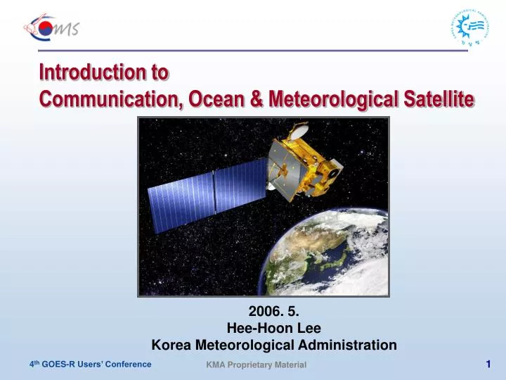
Introduction to Communication, Ocean & Meteorological Satellite. 2006. 5. Hee-Hoon Lee Korea Meteorological Administration. Mission Objectives of COMS. Weather Monitoring Mission.

E N D
Introduction to Communication, Ocean & Meteorological Satellite 2006. 5. Hee-Hoon Lee Korea Meteorological Administration
Mission Objectives of COMS Weather Monitoring Mission • Continuous monitoring of imagery and extracting of meteorological products with high-resolution and multi-spectral imager • Early detection of special weather such as storm, flood, yellow sand • Monitoring of long-term change of sea surface temperature and cloud Ocean Monitoring Mission • Monitoring of marine environments around the Korean peninsula • Production of fishery information (Chlorophyll, etc.) • Monitoring of long-term/short-term change of marine ecosystem Satellite Communication Mission • In-orbit verification of developed communication technologies • Experiment of wide-band multi-media communication service
Flight Configuration of COMS Satellite Geostationary Ocean Color Imager (GOCI) S-Band Antenna Meteorological Imager (MI) Earth Direction Ram Direction Ka Band Antenna
Ariane 5 Sea Launch Delta 4 Proton Atlas V Launch Vehicle Compatibility
Some System Requirements (1) Satellite Lifetime • Operational Life > 7 years from the end of IOT period • Design Life > 10 years Spacecraft Stabilization • 3-axis Stabilized Spacecraft for monitoring any regions at any time Reliability • > 0.75 for Meteorological and Ocean Monitoring Mission at End of Life • > 0.85 for Communication Payload based on 12 years Design Life Launch Vehicle Compatibility • Compatible with Ariane, Delta, Atlas, Proton, Sea-Launch, etc. • Compatible with the Launch vehicle Mission Profiles and Sequences
System Requirements (2) Orbital Location • Geosynchronous Orbit at 116.2E or 128.2E • Location will be finalized after the approval from ITU Stationkeeping Accuracy • ± 0.05 ° in longitude and latitude of the nominal orbit location Transfer Orbit Operation • Arrive at the Target Orbit within 30days after Separation from Launch Veh. • 6 month IOT to verify the Performance of the Spacecraft and Payloads
GOCI Scene Observation and Coverage The nominal instrument Field of View (FOV) centered at Korean Seas: 36oN and 130oE The coverage area depends on the satellite orbit: red line for 116 E and yellow line for 127 E
SOC CTES KOSC MSC ~135km ~4km ~110km COMS Ground Station Locations East Sea Yellow Sea SOC CTES KOSC KMSC ~135km ~4km ~110km ~110m
Operation of MI Observation Mode Regional Area Local Area Full Disk APNH ENH LSH
COMS Level 1B Image data Auxiliary Data OLR Cloud Detection Cloudy Clear Sea Ice/Snow detection Aerosol Detection Cloud Phase COD SST LST AOD AMV Cloud Amount Insola- tion TPW UTH Cloud Type CSR PI CTT&CTH Fog Baseline Products AMV: Atmospheric motion vector AOD: Aerosol optical depth COD: Cloud optical depth CTT: Cloud top temp. CTH: Cloud top height TPW: Total precipitable water PI: Precipitation index UTH: Upper Tropospheric Humidity CSR: Clear Sky Radiances
COMS Frequency Registration ITU Registration Orbit : 116.2E / 128.2E ITU Registration Frequency Band • For Ocean and Meteorological Service and Satellite Operation :1,670 ~ 1,710 MHz(L-Band): Sensor Data & Processed Data Downlink : 2,025 ~ 2,110 MHz(S-Band): Processed Data & Command Uplink : 2,200 ~ 2,290 MHz(S-Band): Telemetry Downlink • For Communication Service : 27.5 ~ 30.8 GHz: Ka-Band Uplink : 18.3 ~ 20.7 GHz: Ka-Band Downlink
Major Milestones for COMS Development • Prime Contractor EDC(EADS Astrium): 27 April 2005 • Kickoff Meeting at Astrium: 18-19 May 2005 • System Requirement Review: 13-14 June 2005 • System Design Review: 8-9 August 2005 • Preliminary Design Review : 9-13 January 2006 • Future Milestones • Critical Design Review: March 2007 • Launch: End of 2008