Download
1 / 10
100 likes | 117 Views
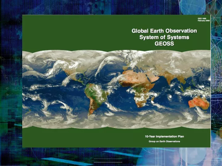
Implementation Plan. Earth Observation Summit. At the U.S. Department of State, Washington DC July 31, 2003. GEO Members.

E N D
Earth Observation Summit At the U.S. Department of State, Washington DC July 31, 2003
GEO Members ・Algeria・Argentina・Australia・Bahrain・Belgium・Belize・Brazil・Cameroon・Canada・Central African Republic・Chile・China・Congo, Republic of ・Croatia・Cyprus・Denmark・Egypt・European Commission・Finland・France・Germany・Greece・Guinea-Bissau・Honduras・Hungary・Iceland・India・Indonesia・Iran・Ireland・Israel・Italy・Japan・Kazakhstan・Korea, Republic of・Latvia・Luxembourg・Malaysia・Mali・Mauritius・Mexico・Moldova・Morocco・Nepal・Netherlands・New Zealand・Niger・Nigeria・Norway・Paraguay・Philippines・Portugal・Russian Federation・Slovakia・Slovenia・South Africa・Spain・Sudan・Sweden・Switzerland・Thailand・Tunisia・Uganda・Ukraine・United Kingdom・United States・Uzbekistan 66
Three USER perceptions of GEOSS Modeling, and Data Management Systems Disaster Health Energy Climate The Nine Socio Benefit Areas Water Weather Observation Systems Worldwide Ecosystem Agriculture Biodiversity
GEOSS Focus: 9 Societal Benefits of Improved Earth Observation Natural & Human Induced Disasters Ecological Forecasts Reduce Loss of Life and Property Weather Forecasting Human Health & Well-Being Protect Water Resources Monitor Ocean Resource Combat Land Degradation Monitor Energy Resources
System of Systems What is a “System of Systems?” • Definition: A System-of-Systems (SoS) is a “super-system” comprised of elements that are themselves complex, independent systems which interact to achieve a common goal. • Common Characteristics: • The component systems achieve well-substantiated purposes in their own right even if detached from the overall system Not just a large, complex system • The components systems are managed in large part for their own purposes rather than the purposes of the whole Constructed of Independent systems • It exhibits behavior, including emergent behavior, not achievable by the component systems acting independently Value of the synergy Dynamic, open environment • Component systems, functions, and behaviors may be added or removed during its use
FDSN/GSN & GEOSS • GSN becomes GEOSS Observing System &FDSN becomes GEO Participating Member, 11/2004 • Sumatra-Andaman Earthquake and Indian Ocean Tsunami highlights relevance of seismology and in situ observations, 12/2004 • Input to GEO Tasks, 5/2005 • GEOSS-Seismology Workshop in Washington DC, 8/2005 • FDSN leads for seismology, designates participation in GEO committees, input to GEO Tasks, 8/2005 • Participation in 2006 Workplan Tasks (19), 1/2006 • Lead on key seismology Task DI-02-06, 4/2006 • Participation in GEO committees and Tasks, 2006
DI-02-06Facilitate improvement of capabilities for global seismographic networks such as GSN, FDSN, DAPHNE, and sharing of data and event products among GEO members : • 1. Sustain GSN/FDSN operations and maintenance. • 2. Expand real-time telemetry capabilities and robustness for the GSN/FDSN stations. • 3. Improve operational uptime and data availability of GSN/FDSN. • 4. Promote real time access and use of data from GNSS (Global Navigation Satellite Systems) permanent stations • 5. Advocate free, open access to real-time seismic data from GEOSS in-situ Observation Systems and facilitate data sharing among GEOSS members. • 6. Facilitate and improve the use of seismological data to obtain rapid estimates of event parameters suitable to mitigate the consequences of the event. • 7. Facilitate data management coordination within GEOSS for seismological data, metadata, and products. • 8. Establish GEOSS 6-year target to develop new very-broad seismometers for seismology and tsunami warning. • 9. Advocate and coordinate use of GSN/FDSN as a logical framework for other GEOSS in-situ measurements. • 10. Establish GEOSS 10-year target to extend global seismological coverage into the oceans through synergy and shared logistical infrastructure with GEOSS in-situ ocean observing systems.
Quo Vadis? • FDSN as Observing, Data, Products system • GSN is already a designated Observing System • Participation in GEO Portal • FDSN Member national participation • Funding is National • What can GEO/GEOSS do for seismology? • Seismology viewed as a key in situ system • Awareness of Societal Benefits • New Resources