Download
1 / 25
280 likes | 1.04k Views
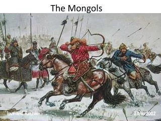
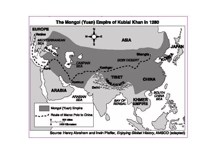
The information provided by the map indicates that in 1280 the Mongols controlled areas of Africa, Asia, and Europe (2) territory from eastern China to eastern Europe (3) Japan and Korea (4) all of Asia.

E N D
The information provided by the map indicates that in 1280 the Mongols controlled areas of Africa, Asia, and Europe (2) territory from eastern China to eastern Europe (3) Japan and Korea (4) all of Asia
What was the effect of the extensive Mongol Empire on the people who lived in Europe and Asia in the 1200s? development of a common language (2) adoption of Confucian ideas and practices (3) expansion of Japanese cultural traditions (4) significant increases in trade and travel
The map shows that: economies of all the regions of China are developing at the same rate distribution of income in China is unequal economies of the interior provinces of China are developing faster than those of the coastal provinces economic development in China is dependent upon the cash crops of Xinjiang and Tibet
Which conclusion is supported by information provided in the map? Traders depended mainly on rivers as avenues of transportation. (2) More products were carried on the ocean than across the land. (3) Silk was the principal product traded. (4) Traders often combined sea and land routes.
Which concept is illustrated by the map? (1) socialism (2) interdependence (3) self-sufficiency (4) cultural isolation
According to the information provided by the map, which European nation controlled the union of South Africa? Germany France Great Britain Italy
Which statement can best be supported by the information on the map? The Portuguese taught the Chinese their sailing knowledge. (2) Portugal and China practiced isolationism throughout the 15th century. (3) Only the Portuguese explored the east coast of Africa. (4) The Portuguese and the Chinese were active explorers.
Which two explorers are associated with the travels shown on the map? Ferdinand Magellan and Matthew Perry (2) Christopher Columbus and Genghis Khan (3) Vasco de Gama and Zheng He (4) Francisco Pizarro and Marco Polo
Which conclusion regarding early European settlements is best supported by the information on the map? Portugal became the dominant colonial power in South America by 1600. (2) Geography made the interior of South America easy to explore. (3) Neither the Spanish nor the Portuguese developed major urban centers in Latin America. (4) In 1600, most of the land in South America was not settled by Europeans
Which civilization was located at the mouth of the Niger River? Ghana Benin Congo (4) Ashanti
Which statement about the civilizations of Africa before 1901 can best be inferred by the information on the map? Christianity and Islam played a minor role in the development of African civilizations. (2) Most African civilizations existed for only a few years. (3) Very little interaction occurred between these civilizations. (4) African civilizations were located in a variety of physical environments.
Which conclusion can be drawn from the information provided by the map? Africa was Europe’s most active trading partner. (2) The Hanseatic League controlled trade in the Black Sea. (3) Asians and Europeans traded primarily by water routes. (4) A vast network of trade routes connected the centers of trade in Europe.
Which groups of people were most closely associated with the spread of the Black Death? merchants and pilgrims (2) bankers and explorers (3) missionaries and slave traders (4) soldiers and diplomats
The purpose of the Great Wall was to protect the Chinese from the nomadic tribes of northern and central Asia (2) supply food from the south to Khanbalik (Beijing) (3) control the flood waters of the Huang He and the Chang Jiang rivers (4) protect the port city of Guangzhou
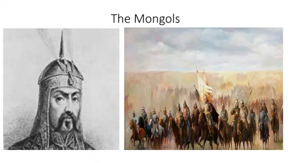
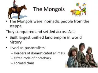
Which statement is best supported by the information on this map? By 1300, the Mongol Empire had reached the Red Sea. (2) The Mongol Empire controlled India and Japan by 1300. (3) By 1300, most of Europe had been conquered by the Mongols. (4) The Mongol Empire controlled a large portion of Asia by 1300.