Download
1 / 20
200 likes | 203 Views
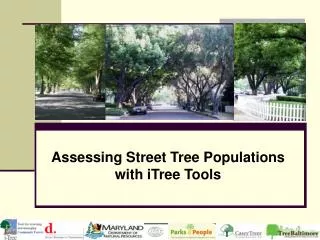
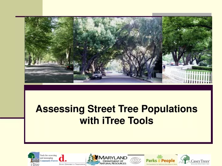
This guide provides information on conducting an inventory of street trees using the iTree Tools STRATUM software. It covers goals, data fields, resources, staffing options, technology, GIS integration, client needs, data needs, custom configurations, process issues, costs and benefits, logistics, tools, and tech savviness.

E N D
STRATUM prior to data collection • Goals / Setting expectations • Data fields to support goals • Resources • Conducting inventory • Paid staff? • Contractors? • Volunteers? • Technology • Sampling • How much GIS savvy and software/hardware is necessary? • Interaction between GIS and iTree software • Using the random plot generator
Know the client and client’s needs • Identify the client • Identify the assignment • STRATUM has a LOT of reporting options; providing all may not be helpful • What does the client want to know? • What else did you find out that may be of interest or value?
Know the client and client’s needs • Examples of clients and needs • Client: Mayor • Assignment: Quantification of ecosystem services • Client: City forestry department • Assignment: Report on present tree condition and maintenance needs • Client: NGO • Assignment: Report on stocking levels and enhancement opportunities for planting projects • What you report on should be based on your client and their needs (!)
Data needs • Existing data? • Run on-hand data through STRATUM • Sample inventory to be collected? • Full inventory to be collected? • Define species list • Full list is very long; you will save time of you truncate to expected species
Custom configuration • Customize existing data collection tools • Create new (Add Other 1, 2, 3 question)
Process issues • Will data be collected on PDAs or paper? • Is there any stratification (management zones)? • NOTE: You cannot stratify random sample by management zones; you can sub-sample each management zone or post-stratify in to management zones
Costs and benefits • Benefits data comes pre-loaded • Local info is available from source such as http://www.psc.state.md.us/psc/gas/gasCommodity.htm • Program costs may be obtained from local managers
Logistics • Who will conduct? • Contractors • Spec it right and let ‘em run • Volunteers • Stay tuned for next talk • Paid staff • Most control if it is a luxury you can afford • Go to assignment; is buy-in (community volunteers) an objective)?
Logistics (cont.) • Are you a local? • Likely for volunteers • You will know where to park, where it is safe, etc. • Are you not local? • Likely for contractors and possibly for paid staff • Will need to know where to park, does it cost, how much… • Will need to address safety concerns in your protocols
Tools • Biltmore • Quick DBH; safety measure • If ecollect • PDA • Extra styli! They are easy to drop • GPS • If hard copy collect • Paper • Pencil
Notification • Regardless of who performs, recommend that you carry some form of identification associated with your project • Carrying a “this is who we are, what we are doing, and why” letter for distribution to curious citizens is recommended
Tech savvy • How much do you need? • Probably impossible to do with none • Difficult to do with some • If you have a lot (GIS, GPS, Access, Excel), you can get a great deal of flexibility and do more than the “standard issue”
Do you need GPS? • NO • iTREE does not presently have a GPS component • There is a spatial component that is not required, but lat-long must be entered manually • Specific locations would likely provide little value
Is there a benefit to GPS? • Yes • I used to track pending and completed segments in the field.
Using the random plot generator • Install the random plot generator per the iTREE manual • You will end up with a “Random Select Roads” tool on your toolbar
Sample size – how big? • Sample inventories are generally a 3-6% sample of total street segments • General guidelines for sample sizes in communities based on human populations: • For communities with less than 50,000 persons, sample size is 6% of total street miles • For communities between 50,000 and 150,000 persons, sample size is 5% • For communities between 150,000 to 250,000 persons, sample size is 4% • For communities over 250,000 persons, sample size is 3%
STRATUM prior to data collection Maryland Department of Natural Resources