Download
1 / 21
210 likes | 220 Views
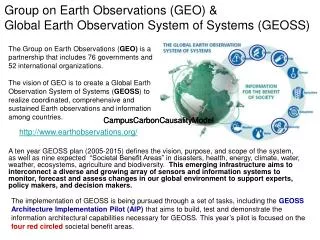
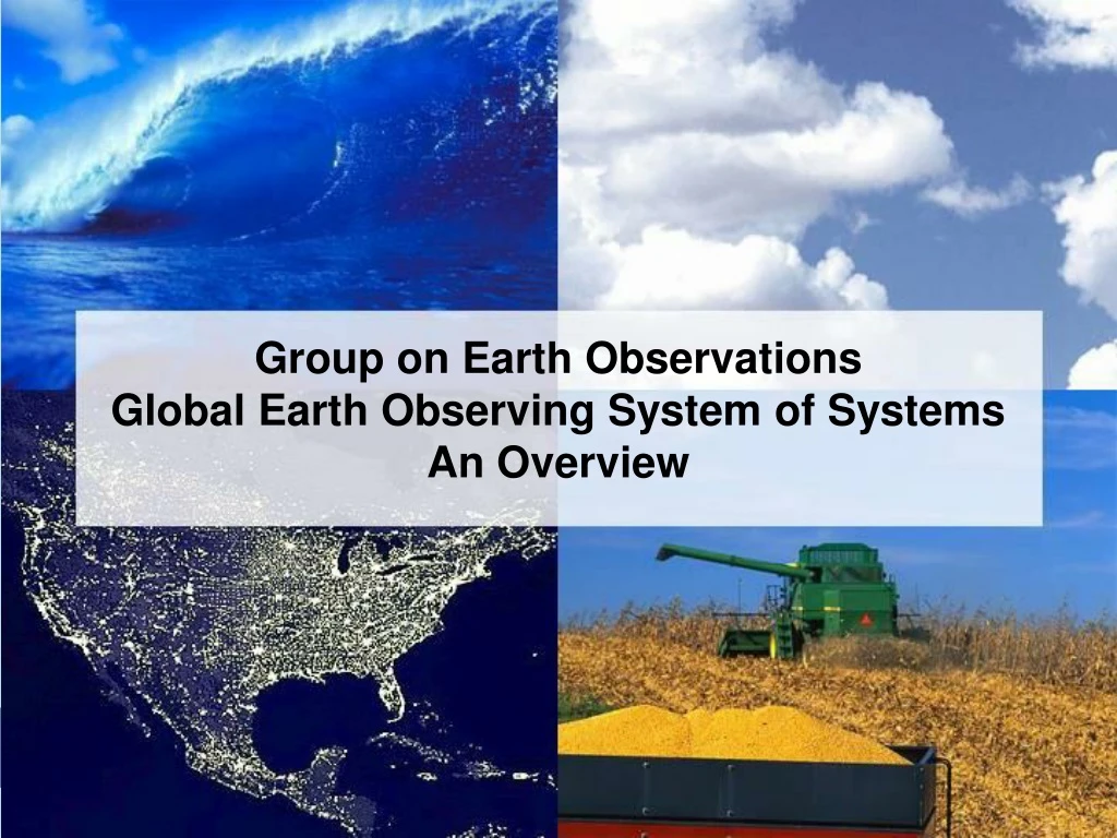
Group on Earth Observations An Overview. Group on Earth Observations Global Earth Observing System of Systems An Overview. January 2005. Earth Observation Summits I & II. Outcomes: Established GEO Adopted Declaration Adopted Framework Document Agreed to Outline for 10-year Plan.

E N D
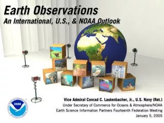
Group on Earth Observations An Overview Group on Earth Observations Global Earth Observing System of Systems An Overview January 2005
Earth Observation Summits I & II Outcomes: • Established GEO • Adopted Declaration • Adopted Framework Document • Agreed to Outline for 10-year Plan
AD HOC INTERGOVERNMENTAL GROUP ON EARTH OBSERVATIONS (GEO) • 54 Countries + EC and 33 International Organizations • Plenary • Secretariat • 5 Subgroups • Architecture • Capacity Building • Data Utilization • International Cooperation • User Requirements and Outreach • Implementation Plan Task Team
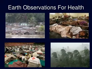
GEO FOCUS: BENEFITS OF OBSERVATIONS • NINE AREAS OF SOCIETAL BENEFIT • Disasters – Reducing loss of life and property from natural and human-induced disasters • Health – Understanding environmental factors affecting human health and well being • Energy – Improving management of energy resources • Climate – Understanding, predicting, mitigating and adapting to climate variability and change • Water – Improving water resource management through better understanding of the water cycle • Weather – Improving weather information, forecasting and warning • Ecosystems – Improving the management and protection of terrestrial, coastal and marine resources • Agriculture– Supporting sustainable agriculture and combating desertification • Biodiversity – Understanding, monitoring, and conserving biodiversity
Key Outputs • The Framework Document • A high-level synopsis of the GEO effort for senior policymakers, presenting the purpose, expected benefits, and broad framework for developing the 10-year Implementation Plan, establishing the Global Earth Observation System of Systems (GEOSS) • The 10-Year Implementation Plan • A 10-Year roadmap for creating GEOSS as a distributed system of systems, building step-by-step on current cooperation efforts among existing observing and processing systems within their mandates, while encouraging and accommodating new components. The GEOSS will be: • comprehensive, by including observations and products gathered from all components required to serve the needs of participating members; • coordinated, in terms of leveraging resources of individual contributing members to accomplish this system, whose total capacity is greater than the sum of its parts; • sustained, by the collective and individual will and capacity of participating members.
PARTICIPATING ORGANIZATIONS (33) • Association for the Development of Environmental Information (ADIE) • Central American Commission for the Environment and Development (SICA/CCAD) • Committee on Earth Observation Satellites (CEOS) • European Centre for Medium-Range Weather Forecasts (ECMWF) • European Environmental Agency (EEA) • European Space Agency (ESA) • European Organization for the Exploitation of Meteorological Satellites (EUMETSAT) • Federation of Digital Broad-Band Seismograph Networks (FDSN) • Food and Agriculture Organization of the United Nations (FAO) • Global Climate Observing System (GCOS) • Global Ocean Observing System (GOOS) • Global Terrestrial Observing System (GTOS) • Institute of Electrical and Electronic Engineers (IEEE) • Integrated Global Observing Strategy Partnership (IGOS-P) • Intergovernmental Oceanographic Commissions (IOC) • International Association of Geodesy (IAG)
PARTICIPATING ORGANIZATIONS (contd.) • International Council for Science (ICSU) • International Geosphere-Biosphere Program (IGBP) • International Group of Funding Agencies for Global Change Research (IGFA) • International Institute for Space Law (IISL) • International Steering Committee for Global Mapping (ISCGM) • International Strategy for Disaster Reduction (ISDR) • Network of European Meteorological Services/Composite Observing System (EUMETNET/EUCOS) • Partnership for Observation of the Global Ocean (POGO) • United Nations Convention on Biodiversity • United Nations Convention to Combat Desertification • United Nations Educational, Scientific and Cultural Organization (UNESCO) • United Nations Environment Programme (UNEP) • United Nations Framework Convention on Climate Change (UNFCCC) • United Nations Office for Outer Space Affairs (UNOOSA) • World Bank (IBRD) • World Climate Research Programme (WCRP) • World Meteorological Organization (WMO)
What is GEOSS?Global Earth Observing System of Systems • GEOSS is a distributed system of systems built on current international cooperation among existing Earth observing and data management systems • GEOSS enables the collection and distribution of accurate, reliable Earth Observation data, information, products, and services in an end-to-end process
The Global Framework A distributed system of systems • Improves coordination of strategies and observation systems • Links all platforms: in situ, aircraft, and satellite networks • Identifies gaps in our global capacity • Facilitates exchange of data and information • Improves decision-makers’ abilities to address pressing policy issues
U.S. GOES India INSAT Attributes of an Integrated Global Observing System • Comprehensive • Sustained • Integrated • Global
Benefits Focus Ecosystems Water Resources Natural & Human Induced Disasters Energy Resources Sustainable Agriculture & Desertification Human Health & Well-Being Oceans Weather Information, Forecasting & Warning Climate Variability & Change
Why GEOSS? GEOSS-Global System To Meet Societal Needs • Interdisciplinary focus • An integrated international system using remote sensing & in situ systems • Foundation for sound decision-making: global, regional, & local level Social, Economic, & Science Concerns • More than half the world’s population lives within 60 km of the shoreline, & this could rise to 3/4 by the year 2020 • More than 90% of natural disaster-related deaths occur in developing countries • 25% of Earth’s biological productivity & an estimated 80-90% of global commercial fish catch is concentrated in coastal zones • Worldwide agricultural benefits of better El Niño forecasts are conservatively estimated at $450-$550M/year
Global Earth Observation System of Systems (GEOSS) Global Observing Systems GCOS GOOS GTOS WHYCOS World Weather IGBP IOOS CEOS IGOS National/Multinational Observing Systems Satellites Surface Obs. Radar Aircraft Ocean Observations Paleo-data Private Sector Observing Systems Satellites Mesonets Lightning Commercial Aircraft Ongoing Analysis of the Climate System Climate Variability and Change Disasters Health Ecosystem Agriculture Energy Water Resources Ocean Resources Weather Societal Benefits
Data Management System for Earth Observations • Data Management Needs • New Systems mean 100-fold increase in data • Current systems already face challenges • Development of browser and visualization systems— underpinned by core geospatial technologies • Interoperability through protocols and standards
Global Earth Observing System of Systems • United States • Integrated Earth Observation System • European Commission • Global Monitoring for Environment and Security • Asia • Asian Monsoon Observation Initiative • Africa • New Partnership for Africa's Development (NEPAD) Environment Initiative
Near Term Opportunities • Improved Observations for Disaster Warnings • Global Land Observing System • Sea Level Observing System • National Integrated Drought Information System • Air Quality Assessment and Forecast System • Data Management System for Earth Observations
Coming Soon…Earth Observation Summit III • Brussels, Belgium, February 16 • Agreement on Implementation Plan and Resolution • Set up new GEO Structure and Secretariat • WMO offer to host • Near-term Opportunities Include: • Data Management System for Earth Observations • Improved Observations for Disaster Warnings • Global Land Observing System
Challenge Transformation of the Earth Observation System into the Earth Information System
Earth Observation Info... Intergovernmental ad hoc Group on Earth Observations http://earthobservations.org