Download
1 / 5
50 likes | 187 Views
Types of descriptions and maps. By: John Eisen Mr. Fabel Period 7. Types of Maps. Climate maps give general information about the climate and precipitation (rain and snow) of a region. Cartographers, or mapmakers, use colors to show different climate or precipitation zones .

E N D
Types of descriptions and maps By: John Eisen Mr. Fabel Period 7
Types of Maps • Climate maps give general information about the climate and precipitation (rain and snow) of a region. Cartographers, or mapmakers, use colors to show different climate or precipitation zones. • Economic or resource maps feature the type of natural resources or economic activity that dominates an area. Cartographers use symbols to show the locations of natural resources or economic activities. For example, oranges on a map of Florida tell you that oranges are grown there.
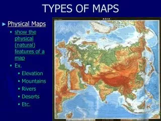
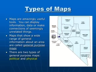
Types of Maps • Physical maps illustrate the physical features of an area, such as the mountains, rivers and lakes. The water is usually shown in blue. Colors are used to show relief differences in land elevations. Green is typically used at lower elevations, and orange or brown indicate higher elevations. • Political maps do not show physical features. Instead, they indicate state and national boundaries and capital and major cities. A capital city is usually marked with a star within a circle.
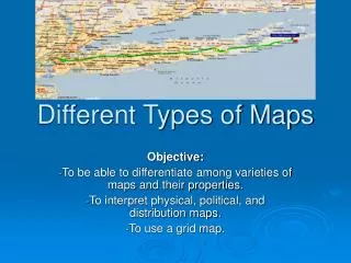
Types of Maps • Road maps show major some minor highways and roads, airports, railroad tracks, cities and other points of interest in an area. People use road maps to plan trips and for driving directions. • Topographic maps include contour lines to show the shape and elevation of an area. Lines that are close together indicate steep terrain, and lines that are far apart indicate flat terrain.
KS Question: What will you learn? Answer: Learn about the different types of maps.