Download
1 / 15
410 likes | 1.11k Views
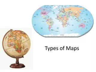
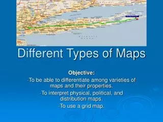
TYPES OF MAPS. Physical Maps show the physical (natural) features of a map Ex. Elevation Mountains Rivers Deserts Etc. TYPES OF MAPS. Political Maps Show the political (man-made) features of a map Ex. Countries Cities Capitals Etc. SPECIAL PURPOSE (THEMATIC) MAPS.

E N D
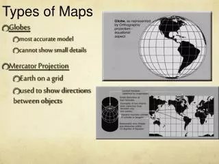
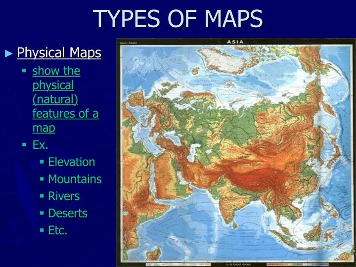
TYPES OF MAPS • Physical Maps • show the physical (natural) features of a map • Ex. • Elevation • Mountains • Rivers • Deserts • Etc.
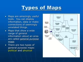
TYPES OF MAPS • Political Maps • Show the political (man-made) features of a map • Ex. • Countries • Cities • Capitals • Etc.
SPECIAL PURPOSE (THEMATIC) MAPS • Maps designed for a special purpose • Ex. • Highway • Climate • Population • Etc.
CARTOGRAM World Energy Consumption • A Cartogram is a special purpose map that shows the size of a country based on data rather than actual land size.
BIAS • a particular tendency or inclination, especially one that prevents unprejudiced consideration of a question; prejudice. DISTORTION • A change in the shape of an image
MAP PROJECTIONS • Which of these outlines is an accurate map of the United States? • None of the maps are completely accurate. • What model could give a more accurate map of the United States? • A globe
MAP PROJECTIONS • What are the challenges of using a globe? • They don’t show a lot of detail, are expensive, and the are not easy to carry around. • What happens when you try to represent the surface of a globe on a flat map? • The surface will break @ the poles; if you don’t want to break it you must stretch it and stretching leads to distortion.
ROBINSON PROJECTION • Everything is distorted to a degree, no property is distorted too much. Used by schools
MERCATOR PROJECTION • Greenland is as large as South America. Note latitude lines. Good for ship navigation.
Tools of a Geographer • Maps are not the only tools that geographers use. Graphs and charts are also common tools. Two charts we need to become familiar with are: • Climographs • Population Pyramids • GPS
GPS • Use of satellites to accurately determine where on the earth something is. • Car Navigation • Smartphone Map Apps • Etc.