Download

1 / 8
80 likes | 267 Views
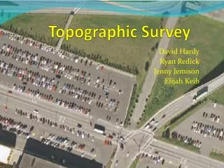
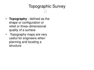
A thorough topographic survey will lessen the possibility of you making costly mistakes at a later stage, as you will be less likely to come across unforeseen problems. You'll want to work with an experienced land surveyor in whom you can have complete confidence to deliver to the very highest standards in topographic surveys. <br>http://www.ogilvie-geomatics.co.uk/land-surveys/topographic-survey

E N D
History of company Ogilvie Geomatics offers a full range of innovative topographical, hydrographic, engineering and geographic survey solutions across a broad range of sectors in the UK and abroad. Ogilvie Geomatics incorporates both Loy Surveys and Longdin and Browning Surveys. Both organizations are long standing and professional companies with a reputation for delivering quality survey work on time. Whatever the project you are considering, accuracy in planning is the key. A thorough survey will lessen the possibility of you making costly mistakes at a later stage, as you will be less likely to come across unforeseen problems.
How To Become A Land Surveyor It is frequently hard for young person’s recognize accurately what they desire to do when they graduate from high school. It is very significant for them to carry on their education at the succeeding level, but they do not for all time be familiar with which way to follow to get the great jobs and the most profitable careers. Sporadically it is significant to come out outside conventional careers and look at another avenue that might not be first supposed of such as land surveyors. A Land surveyor is the person that sets the boundaries that other people lives by. Without a land surveyor no one could be certain how much property they in fact own or exactly where the lines that recognized that property lies.
Underground service tracing & utility survey We undertake underground utility mapping to provide projects with up to date, accurate information relating to underground services. These typically include communications (BT/Virgin media etc.), Water, Gas and electricity . The depth of investigation will depend on the site, but will usually be between 2-3m. Utility mapping is efficient when a combination of techniques is used. Ground penetrating radar is a nondestructive geophysical method that produces a continuous cross-sectional profile or record of subsurface features, without drilling, probing, or digging.
Where We Work We Work Across a wide range of transport. Ogilvie Geomatics, Chartered Land Surveyors are familiar with the operating procedures of working airside and meeting stringent security and health and safety requirements. Airside Approved Land Surveyors Rail Link-up Approved Land Surveyors
Land Surveying For Road Networks And Transport Routes
Contact Us:- contact@ogilvie-geomatics.co.uk 0800 833 312 http://www.ogilvie-geomatics.co.uk/