Download
1 / 26
260 likes | 364 Views
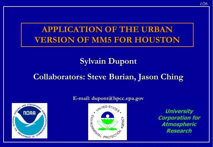
APPLICATION OF THE URBAN VERSION OF MM5 FOR HOUSTON. Sylvain Dupont Collaborators: Steve Burian, Jason Ching E-mail: dupont@hpcc.epa.gov. University Corporation for Atmospheric Research. Urbanized version of MM5. DA-SM2-U. Soil Model for Sub-Meso scales - Urbanized version.

E N D
APPLICATION OF THE URBAN VERSION OF MM5 FOR HOUSTON Sylvain Dupont Collaborators: Steve Burian, Jason Ching E-mail: dupont@hpcc.epa.gov University Corporation for Atmospheric Research
Urbanized version of MM5 DA-SM2-U Soil Model for Sub-Meso scales - Urbanized version Drag-Force Approach • Simulation of meteorological fields within and above rural and urban canopies. • Neighborhood scale: 1-km horizontal grid spacing and few meter vertical grid spacing inside the canopy • Canopy elements are not explicitly defined but spatially averaged
General Objective Modeling air-quality for estimating human exposure to air pollution in urban areas by using CMAQ. Specific Objectives of this presentation • Computation of the Houston morphological parameters for DA-SM2-U. • Influence of the Houston representation on the urban boundary layer structure • What degree of urban representation detail do we need at neighborhood scales ?
Momentum equation = forcing terms (modification of vertical turbulent transport term) + momentum sources due to building horizontal surfaces (friction force) + momentum sources due to the pressure and viscous drag forces induced by the vegetation and the building vertical surfaces
Heat equation = forcing terms (modification of vertical turbulent transport term) + sensible heat sources from surfaces + anthropogenic heat sources (Taha, 1999) Humidity equation= forcing terms (modification of vertical turbulent transport term) +humidity sources from surfaces + anthropogenic humidity sources (not considered)
TKE equation= forcing terms (modification of vertical turbulent transport) +shear production by building horizontal surfaces + buoyant production from the surface sensible heat fluxes + wake production due to the presence of vegetation and buildings + dissipation due to the accelerated cascade of TKE from large to small scales due to the canopy elements
Turbulent Length Scale • Parameterization of the turbulent length scale of Bougeault and Lacarrère (1989) inside the Gayno-Seaman PBL model. • Addition of a turbulent length scale in the dissipation rate of TKE to consider the size of the wake eddies inside the canopy (following Martilli et al. (2002) for building canopy).
SM2-U(3D) • SM2-U(3D) is a multi-layers rural and urban canopy model derived from the one-layer canopy model SM2-U. • The model estimates the sensible and latent heat fluxes at each level within the canopy. Dupont et al.: 2003a, Parameterisation of the Urban Water Budget by Using SM2-U model. (Submitted to Journal of the Applied Meteorology) Dupont et al.: 2003b, Parameterisation of the Urban Energy Budget with the SM2-U model for the Urban Boundary Layer Simulation. (Submitted to Boundary-Layer Meteorology)
Philadelphia case (July 14th, 1995) Dupont et al.: 2003c, Simulation of Meteorological Fields within and above Urban and Rural Canopies with a Mesoscale Model (MM5). (Submitted to Boundary-Layer Meteorology) • DA-SM2-U is capable of simulating the important features observed in the urban and rural roughness sub-layer. • Comparison with measurements showed that the surface air temperature simulation above rural and urban areas is improved with DA-SM2-U compared to the “standard version” of MM5.
Meteorological fields inside the canopy at 2 m above the ground
Houston case • August 25 – September 1, 2000 (portion of the Texas 2000 Air Quality Study field program). • MM5 has been run by Nielsen-Gammon in a one-way nested configuration: 108-, 36-, 12-, and 4-km horizontal grid spacing. • DA-SM2-U is used for a 1-km horizontal grid spacing domain (141 x 133 x 48). • Canopy morphological parameters computed by Steve Burian
Morphological parameter domain MM5 1-km domain
Airborne LIDAR dataset from TerraPoint LLC • For the all Harris county (compressed data is ~70 GB, uncompressed ~300+ GB) • Give the earth elevation and the elevation of the top of canopy elements. • 1-m and 5-m horizontal grid spacing, • Horizontal accuracy of 15 to 20 cm RMSE, Vertical accuracy of 5 to 10 cm RMSE
Land Use / Land Cover Airborne LIDAR data + High-resolution aerial photos (Harris A) Building footprint dataset (Harris A) ArcView map calculator Morphological parameters for Harris A (1-km2 horizontal resolution and 1-m vertical resolution) Correlation between the morphological parameter values and the Land Use Morphological parameters for the all computational domain
Mean building and vegetation height • Building plan area density • Vegetation plan area density • Building rooftop area density • Vegetation top area density • Building frontal area density for 4 wind directions • Vegetation frontal area density • Wall-to-plan area ratio • Building height-to-width ratio • Surface fraction of vegetation, roads, rooftops, and water • Sky view factor at ground level and as a function of height • Aerodynamic roughness length and displacement height (Raupach, Macdonald, Bottema) • Mean orientation of streets • Approximations for impervious area, directly connected impervious area, and building material For DA-SM2-U
Influence of the city representation: Detailed city: specific morphological parameters are deduced for each grid cell of Harris A, outside they are deduced following the Land Use from their correlations in Harris A. Average city: morphological parameters are deduced following the Land Use for the entire domain.
Detailed city Roof fraction Average city
Detailed city Height-to-width ratio Average city
Detailed city Average city
Surface temperature Detailed city Average city 4 p.m. Detailed city Average city 12 a.m.
4 p.m. Detailed city Average city TKE Detailed city Average city PBL height
Conclusions • A neighborhood scale version of MM5 (DA-SM2-U) has been developed and tested successfully on Philadelphia. • A huge morphological database has been constructed on Houston for DA-SM2-U • The choice of the representation of the city of Houston (detailed or average city) seems to have an impact on the UBL structure, especially during unstable conditions. This study needs to be continued with different average representations of the city.
Future plans • Comparison of simulated and observed surface meteorological fields (25 surface observation stations). The first results seem to indicate an improvement of the wind speed at 10 m by comparison to the results of the “standard version” of MM5. However, the see breeze seems to be too weak toward the city. • CMAQ simulation on Houston by using meteorological fields from MM5-DA-SM2-U