Download
1 / 10
100 likes | 219 Views
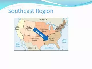
National Park Service Southeast Region Benthic Habitat Mapping Status and Needs. Larry West Southeast Regional I&M Coordinator Atlanta, Georgia. Map of Gulf Coast Network Parks. Gulf Coast Network –submerged area in authorized boundary. Gulf Islands NS, 437 km 2 (Tier 1 showed 461 km 2 )

E N D
National Park ServiceSoutheast Region Benthic Habitat Mapping Status and Needs Larry West Southeast Regional I&M Coordinator Atlanta, Georgia
Gulf Coast Network –submerged area in authorized boundary • Gulf Islands NS, 437 km2 (Tier 1 showed 461 km2) • Padre Island NS, 302 km2 (Tier 1 shows 130 km2 = 172 km2 discrepancy!)
Gulf Coast Network • Submerged Aquatic Vegetation was a high priority protocol – protocol work starts in 2009 • Texas –Need data mining. • Need geologic framework underpinning the islands • Need habitat classification especially seagrasses and hard-bottom/oyster reefs • Want prediction of most vulnerable sites to breaching of barrier islands. • Need information about these resources to determine visitor impacts and how to manage them.
Big Thicket National Preserve Gulf Coast Network • Key technical issues - water clarity and depth. • Most information they have is not up to date. • NGOM project at GUIS – huge step in the right direction
C a p e H a t t e r a s N S # Cape Lookout NS # # M o o r e s C r e e k N B K e n n e s a w M o u n t a i n N M P # # C o n g a r e e # S w a m p N M H o r s e s h o e B e n d N M P # # # F o r t M o u l t r i e N M O c m u l g e e N M # F o r t S u m t e r N M # F o r t P u l a s k i N M # F o r t F r e d e r i c a N M # C u m b e r l a n d I s l a n d N S m # T i u c u a n E H P # F o r t C a r o l i n e N M # C a s t i l l o D e S a n M a r c o s # F o r t M a t a n z a s N M C a n a v e r a l N S # Southeast Coast Network SECN
Southeast Coast Network • Most parks own only to mean high tide (Cape Hatteras for example) • 125 acres in Charleston Harbor • Odd corners Cumberland Island NS with minimal submerged habitat • Canaveral NS boundary extends half mile into Atlantic and includes portions of lagoon.
Southeast Coast Network –Benthic interest from network meetings • Network wide interest was SAV distribution 1 km outside boundary. • Similar need expressed to map hardscapes such as oyster beds. • Sand flow budgets particularly for barrier islands were also expressed due to management issues with dredging, beach nourishing, jetties, etc.
Southeast Coast Network – Canaveral has the ownership and the interest. • Wants data mining of who is doing what in and around the park • Wants evaluation of available data such as FL DEP seagrass maps from aerial surveys done every 3 yr. • Wants oyster locations mapped in and around park.