Download
1 / 29
290 likes | 400 Views
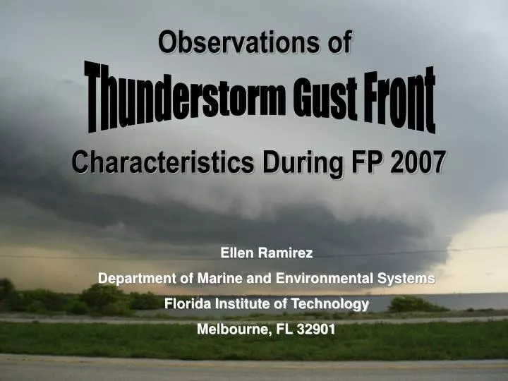
Observations of. Thunderstorm Gust Front. Characteristics During FP 2007. Ellen Ramirez Department of Marine and Environmental Systems Florida Institute of Technology Melbourne, FL 32901. Outline:. Introduction What is a gust front? Case studies

E N D
Observations of Thunderstorm Gust Front Characteristics During FP 2007 Ellen Ramirez Department of Marine and Environmental Systems Florida Institute of Technology Melbourne, FL 32901
Outline: • Introduction • What is a gust front? • Case studies • Comparison of 2 cases from the same system • Discussion • Gust front characteristic observations • Summary • Questions
Leading edge of cool air rushing down and out from a thunderstorm Occurs due to precipitation cooling the air, thus making it sink Drag from precipitation pulls the air downward What is a Gust Front? • Arcus clouds- low, horizontal cloud formations including roll clouds and shelf clouds • Dirt and debris being forced upward from the ground by wind • Heavy precipitation bands
Importance • Gust fronts can be dangerous to anyone • Especially hazardous to aircraft • Associated with hail, lightning, and strong wind gusts • Goal: to compare 2 storm cases for gust front characteristics using numerical data, and reinforce the data through RADAR images
Pressure jump Relatively dry air prior to the storm Sharp % humidity increases Low level wind shear Wind gusts > 10mph, but can reach or exceed 100mph in severe cases Temperature drop Heavy precipitation Data Observations Gust Front Thunderstorm downdraft
Low pressure system moves southeast across central Florida Case Studies Overview Valid 2:00PM on June 20th, 2007
June 20th, 2007 Case 1: 5:30PM – 8:00PM
Storm Progression • Storm moved across the Florida peninsula from west to east during the evening 2045Z 4:45PM EDT 2215Z 6:15PM EDT 2345Z 7:45PM EDT
June 21st -22nd, 2007 Case 2: 10:30PM – 1:30AM
Storm Progression • Harmony High School and Deseret Ranch were most affected by this storm. By the time it reached Satellite High School, it had significantly diminished 0245Z 10:45PM EDT 0345Z 11:45PM EDT 0445Z 12:45AM EDT
Similar Characteristics of the Cases • Humidity increase from 70 to 91% • Temperature drop from 83 to 72 • Humidity increase from 84 to 95% • Temperature drop from 78 to 74
Similar Characteristics of the Cases • Wind increase from 15 to 21mph • Wind shift from SE to WSW to W • Wind increase from 3 to 13mph • Wind shift from NNW to SW to WSW
Cape Canaveral Sounding: June 20th, 2007 • Precipitable water: 2.24in • CAPE: 1980J/kg • LCL = .65km • Sfc-2km: 42m/s • Sfc-6km:11.2m/s
Jacksonville Sounding: June 21st, 2007 • Precipitable water: 1.99in • CAPE: 1772J/kg • LCL = .42km • Sfc-2km: 9.31m/s • Sfc-6km:13.5m/s
Mesohigh at Satellite Beach: Case 1 • Mesohigh- defined as a small, concentrated area of high pressure created by the cold outflow or rain cooled air associated with a thunderstorm.
June 20th, 2007 2053Z 4:53PM EDT
June 20th, 2007 2141Z 5:41PM EDT
June 20th, 2007 2211Z 6:11PM EDT
June 22nd, 2007 3Z 11:00PM EDT
June 22nd, 2007 4Z 12:00AM EDT
June 22nd, 2007 5Z 1:00AM EDT
Summary • A low pressure system moved through central Florida from June 20th-22nd, 2007. • Height fields indicate it was a dynamically forced system • Both Case 1 and Case 2 observed humidity increases and temperature drops at the onset of precipitation • Vertical wind profiles from the Skew T diagrams showed that only Case 1 had low level wind shear • Doppler RADAR confirmed the gust front passage on June 20th, 2007 for Case 1 • Case 2 was just a small part of a larger system over the Atlantic ocean and while there were characteristics, no gust front passage was observed.
References • http://www.weatherquestions.com/ • http://amsglossary.allenpress.com/glossary • http://www.noaa.gov/ • http://www.ncdc.noaa.gov/oa/ncdc.html • http://vortex.plymouth.edu/ • http://www.sky-chaser.com/ • http://www.chaseday.com/wind.htm • Klingle, D.L., D.R. Smith, and M.M. Wolfson, 1987: Gust Front Characteristics as Detected by Doppler Radar. Mon. Wea. Rev., 115, 905–918.
Questions? Christopher Hicks