Download
1 / 15
150 likes | 313 Views
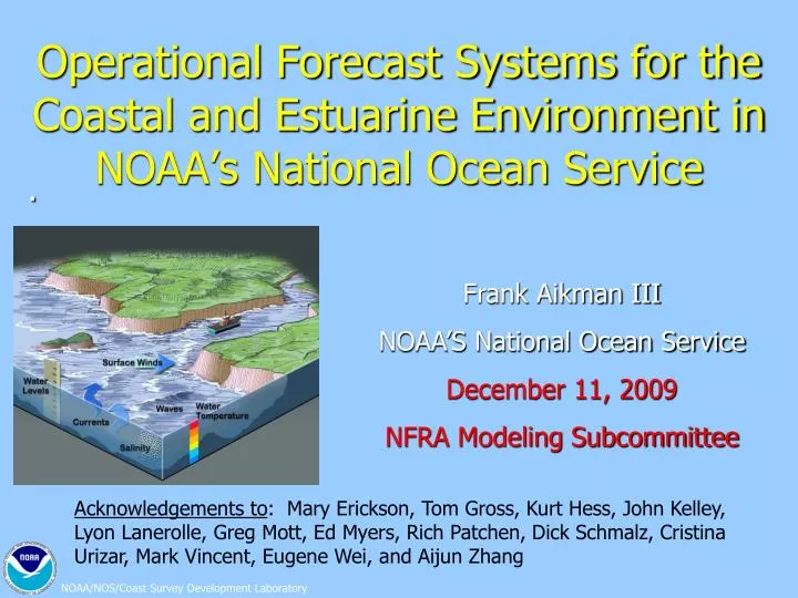
Operational Forecast Systems for the Coastal and Estuarine Environment in NOAA’s National Ocean Service. Frank Aikman III NOAA’S National Ocean Service December 11, 2009 NFRA Modeling Subcommittee.

E N D
Operational Forecast Systems for the Coastal and Estuarine Environment in NOAA’s National Ocean Service Frank Aikman III NOAA’S National Ocean Service December 11, 2009 NFRA Modeling Subcommittee . Acknowledgements to: Mary Erickson, Tom Gross, Kurt Hess, John Kelley, Lyon Lanerolle, Greg Mott, Ed Myers, Rich Patchen, Dick Schmalz, Cristina Urizar, Mark Vincent, Eugene Wei, and Aijun Zhang
OFS Outline The state of NOS’s Operational Forecast Systems • Requirements and geographic coverage • Chesapeake Bay OFS (CBOFS) example • nGOM regional approach • The Coastal Ocean Modeling Framework (COMF) • OBJECTIVE:More efficient R&D, O&M • The Community Approach • Advances the science (research and operations) • Delaware Bay Model Evaluation Environment • Challenges and Applications • Ecological Model Coupling
SST Salinity NOS Marine Modeling Requirements • Support of safe & efficient navigation • Water levels for under-keel clearance • Currents for right-of-way, maneuverability • Emergency response • HAZMAT • Search & Rescue • Homeland Security • For environmentally sound management of the coastal zone • Ecosystem applications • Marine geospatial applications
Chesapeake Bay Operational Forecast System (CBOFS) Operational since August 2001
Specification of Environmental Conditions for CBOFS2 Weather Forecast Model NOAA NWLON NAM /WRF/NDFD USGS Gages/NWS RFC’s Extra Tropical Storm Surge Model
Development of a Northern Gulf of Mexico (n-GOM) Operational Forecast System Represents the transition to a regional modeling approach. Nested versions of the FVCOM model will be applied to cover six PORTS with a single OFS.
Individual Model Systems NOAA/NOS Coastal Ocean Modeling Framework* Standardized for any model at any location QA/QC (CORMS) 24 x 7 NOS OPERATIONAL MODELS REAL-TIME DATA INGEST FORECAST MODEL GUIDANCE (water level, water temp, currents, & salinity) PRODUCTS (web pages and digital pt. & gridded data) FOR USERS QA/QC (CORMS) 24 x 7 *Consistent with IOOS (DMAC); the Earth System Modeling Framework (ESMF); and COARDS/CF Conventions
Coastal Ocean Modeling FrameworkConsists of middleware to manage workflow OBJECTIVE:More efficient R&D, O&M PURPOSE: • Simplify Data Handling & Maintenance • Provide a Standard System for all Locations (NetCDF) • Share Skill Assessment and Evaluation Tools • Enable an efficient technology-transfer process • Various Models Allowed For Experimentation • ADCIRC, ECOM, EFDC, ELCIRC, FVCOM, POM, SELFE, QUODDY, ROMS • NOS to select two or three “corporate” models to move forward with • For OFS: Structured Grid - ROMS; Unstructured Grid – FVCOM • For VDatum Tidal Modeling and Storm Surge - ADCIRC Consistent with IOOS (DMAC); the Earth System Modeling Framework (ESMF); and COARDS/CF Conventions
The Community Approach • A community approach…with IOOS RA’s…would • Allow for open discussion of strengths and weaknesses of different models • Elucidate the requirements of a common shared infrastructure • Allow model improvements to be shared effectively • Advance the science (research and operations) • Leverage resources and amplify the voice of the community
Prototype Test Bed: The Delaware Bay Model Evaluation Environment Bridgeton Maurice River Cape May Cape Henlopen Bathymetry Grids Metrics Model Hindcast COMMUNITY MODELS ROMS, POM, ADCIRC, FVCOM, ELCIRC, SELFE, .... Historical Data Environmental conditions Grids, Bathymetry, Environmental conditions
NOAA/NOS Coastal Modeling Challenges • Continued Collaboration with the Ocean Modeling Community (IOOS RA’s) • Transition from individual port models to a regional modeling approach • Transitioning NOS OFS to the NOAA HPC facility maintained by NCEP • Coupled Model Systems • Riverine-estuarine-coastal-basin; • Hydrodynamic-wave; hydrodynamic-sediment transport • Physical-biogeochemical coupling (ecological; water quality; habitat) • Forecast uncertainty estimation • Probabilistic approach • Ensemble averaging • Data assimilation techniques • HF Radar; coastal altimetry; IOOS data; etc. • Higher spatial resolution in key areas (e.g. in navigation channels; for storm surge and inundation modeling) • Nesting vs. unstructured grids; • Finite difference, finite element and finite volume approaches
SST Likelihood of Chrysaora Salinity Ecological Applications ofHydrodynamic Models • Noxious biota • Sea nettle probabilities • Harmful Algal Blooms (HABs) • Red tide in Gulf of Mexico • Hazardous materials dispersion (HAZMAT) • Future: Model Coupling • Riverine-estuarine-coastal-basin; • Hydrodynamic-wave; hydrodynamic-sediment transport; • Physical-biogeochemical coupling (ecosystem; ecological; water quality; habitat; fish recruitment; etc.).
How To Move Forward Together • Some Thoughts • MAST follow-on? • IWGOO? • A Working Group to facilitate? • More regular communication between RA’s & NOAA • Can NOAA IOOS Office help here? • Need to develop a CONOPS • Define Roles & Responsibilities • The benefits of a common shared infrastructure • Share Tools; Data; Methodologies; Skill Assessment; etc.