Download
1 / 8
90 likes | 109 Views
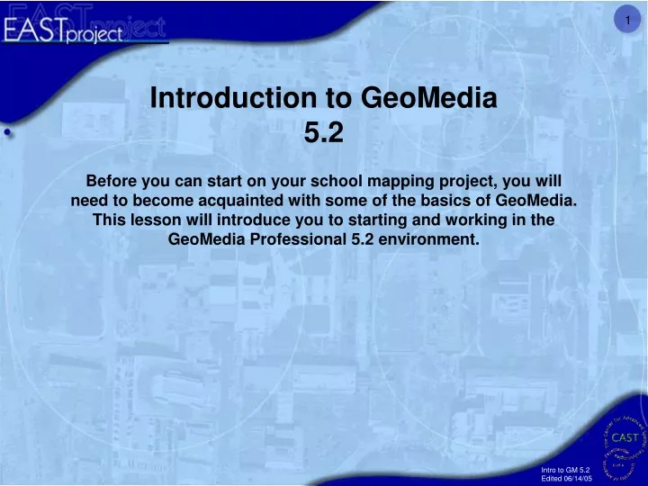
Introduction to GeoMedia 5.2. Before you can start on your school mapping project, you will need to become acquainted with some of the basics of GeoMedia. This lesson will introduce you to starting and working in the GeoMedia Professional 5.2 environment.

E N D
Introduction to GeoMedia 5.2 Before you can start on your school mapping project, you will need to become acquainted with some of the basics of GeoMedia. This lesson will introduce you to starting and working in the GeoMedia Professional 5.2 environment.
1. Go to the “Start” menu and to “All Programs”. Then, find GeoMedia Professional and click on the Icon for GeoMedia.
2. When you see this window pop up, select “Open existing GeoWorkspace” and then “More Files…” 3. Navigate to the GeoWorkspace folder in your C: drive. Look for the file named after your school. It will have the suffix .gws. Click “Open.” Your geoworkspace will resemble the view to the right. Your image might be in color or black and white. If your image is in color you may be wondering why there is so much red. This is a color infrared image. For image interpretation and visualization purposes, green vegetation appears red.
4. To zoom in and out of your map window, use the buttons that resemble magnifying glasses. For example, to zoom in, click on the magnifying glass with the “ + ”. Then either click in the view or click and drag an area in the view to zoom to a specific location. 6. To move the view around, use the pan tool (circled above). 5. To zoom out to the full extent of the map, click the “Fit All,” button circled above.
7. If you would like to change the colors of your feature classes, double-click on the symbol in the legend. Then click the color button in the style definition box.
Don’t forget to save 8. Click on the color of your choice. Click OK in the color palette and then ok in the Style Definition box.
9. To turn off the display of feature classes, right-click on the feature class in the legend and select “Display Off.” The symbol will still be displayed in the legend but the feature class will not be shown in the map window. 10. To save your geoworkspace, click the button with the disk on it. Or if you would like to make a backup file, go to the File menu and select Save Geoworkspace As. 11. Name your file and save it in the default directory.
Learning how to navigate around a view is a very important step. When you feel comfortable doing this, move on to Chapter 3 where we start editing data.