Download
1 / 31
310 likes | 312 Views
This research article discusses the identification and investigation of managed aquifer recharge (MAR) project sites for the use of captured stormwater. The study evaluates the suitability of different regions for MAR, utilizes GIS analysis and regional modeling, and examines the technical and policy challenges associated with MAR in the urban environment.

E N D
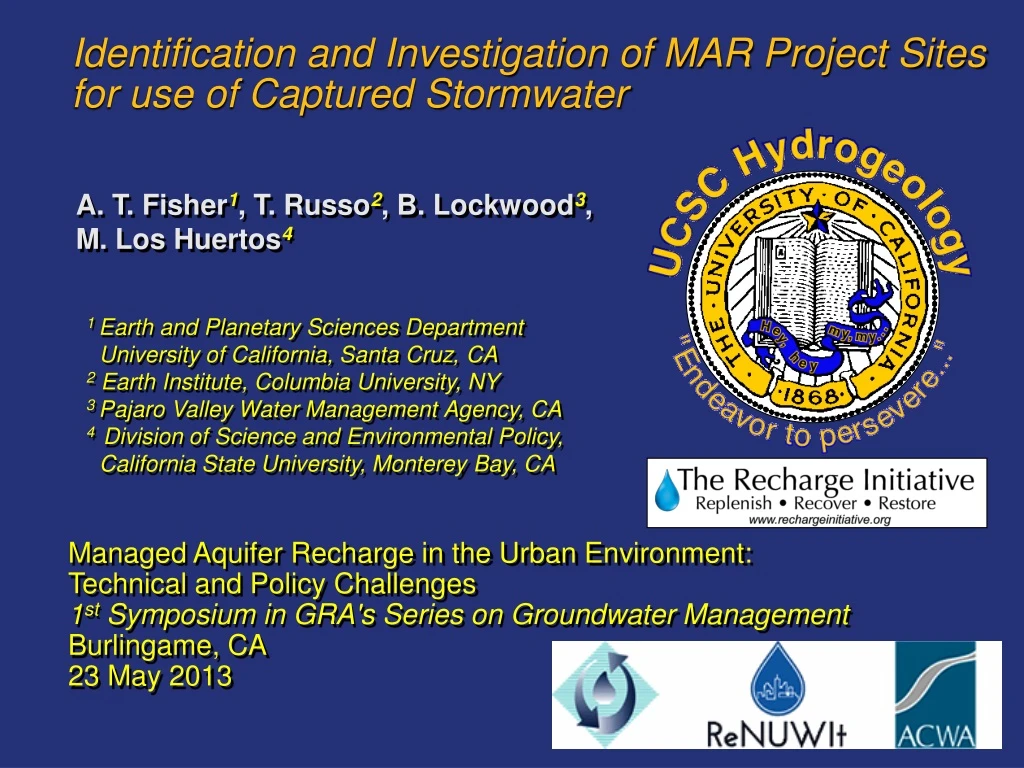
Identification and Investigation of MAR Project Sites for use of Captured Stormwater A. T. Fisher1, T. Russo2, B. Lockwood3, M. Los Huertos4 1 Earth and Planetary Sciences Department University of California, Santa Cruz, CA 2Earth Institute, Columbia University, NY 3 Pajaro Valley Water Management Agency, CA 4 Division of Science and Environmental Policy, California State University, Monterey Bay, CA Managed Aquifer Recharge in the Urban Environment: Technical and Policy Challenges 1st Symposium in GRA's Series on Groundwater Management Burlingame, CA 23 May 2013
Why capture stormwater for GW recharge? San Francisco Bay area Latitude (°N) Precipitation Stations: 1890-2010 Record length Burlingame 50 km 120 yr 15 yr Longitude (°W) Russo et al., 2013 (JGR-Atm)
(1) Because more rain is falling in fewer storms… 10 d 3 d 1 d 50 12 …likely to increase fraction of runoff, decrease GW recharge Russo et al., 2013 (JGR-Atm)
(2) Because much of CA has few alternatives… California's water distribution system is: • Oversubscribed • Energy intensive • Aging and rickety • Inadequate for ongoing and anticipated climate change Mount., 2006 (pers. comm.)
Where should MAR sites using stormwater be placed? Regional Flow • MAR site evaluation • GIS analysis (surface, subsurface) • Regional modeling • Infiltration testing of soil conditions
Central coast hydrologic region: GW demand (1000 ac-ft) % of FW demand met by GW • Highly dependent on groundwater • Virtually "off the grid" This provides challenges and opportunities for the Pajaro Valley GW = 83% of demand DWR, Bulletin 160, 1998
Pajaro River and Pajaro Valley basins PR basin: 3400 km2, multiple counties, tributaries, creeks PV land use: agricultural, urban, rural Surface water systems impaired by elevated nutrients and sediment (EPA) Primary fresh water resource is groundwater PV GW extraction exceeds the sustainable yield of the basin
Overdraft is a regional challenge Pumping: ~55k ac-ft/yr City of Watsonville: ~7k ac-ft/yr Sustainable yield: 40k–45k (?) ac-ft/yr (depends on pumping distribution, time horizon, natural variability) Overdraft: 10k–15k (?) ac-ft/yr (depends on definition, annual conditions, definitely large) 200 to 350 ft/yr map from PVWMA, 2006
GIS Coverages of Surface Properties Soil infiltration capacity Surficial geology (aquifer connection) Land use (roughness) Slope Russo et al., 2013 (in prep)
GIS Coverages Require Merging, Interpretation Surfical Geology 61 units Santa Cruz Co. Monterey Co. (different units) Brabb, 1997
GIS Coverages Require Merging, Interpretation Surfical Geology 61 units Poor Santa Cruz Co. Moderate Good Monterey Co. (different units) Russo et al., 2013 (in prep)
GIS Coverages of Subsurface Properties Recent change in water table elevation (1998 to 2010) Relative transmissivity Russo et al., 2013 (in prep)
Combining GIS Coverages to Assess MAR Suitability Conventional Approach: Schematic example: Higher suitability index Low High = + High Low Dataset 1 Dataset 2 Combined Some data sets were treated this way…
Combining GIS Coverages to Assess MAR Suitability Modified Approach: IE = Effective Infiltration Capacity IC = Infiltration Capacity (nominal) n = surface roughness (land use) S = surface slope Compressed surface Native grassland IE decreases for greater slope (DEM) and less roughness (land use) Russo et al., 2013 (in prep)
Weighting Surface and Subsurface Data Russo et al., 2013 (in prep)
MAP of MAR Suitability Harkin Slough MAR project • Total area: 56,000 acres • Upper quartile of SI (30-40): 7,200 acres (13%) Harkins Slough MAR project (SI = 32) High MAR suitability Low Russo et al., 2013 (in prep)
Regional Groundwater Model Developed for BMP • MODFLOW • Six layers • ~1000 wells • Farm Process Hanson et al., 2013 (in review)
Modeling MAR Influence Issues considered: 1. Project location(s) 2. Number of projects 3. Total applied water 4. Operation duration Compare MAR project results to basecase Russo et al., 2013 (in prep)
Modeling MAR Influence Coastal MAR High MAR suitability Variations in groundwater levels resulting from: • Ten MAR projects, distributed randomly • 4,000 ac-ft/yr additional MAR throughout basin • 34 years of model operation (compare to basecase) Planned modeling: assess drainage areas and runoff at specific sites…
Testing MAR Conditions and Processes Test sites HS
Installing Infiltration Testing System 2. Build liner 1. Dig pit 4. Fully instrumented 3. Install thermal probes
Infiltration Test Data: Stage versus time 10 days Stage (ft) Stage (ft) 36 fill-empty cycles 24 hours
Infiltration Test Data: Stage versus time All data: Final six minutes: Long term infiltration capacity 20 ft/day
∆ Thermal Probes Used to Determine Infiltration Rate Pit Shallow sediments ∆z • Autonomous thermal probes in tubes at base of pit • Diel temperature changes carried downward by infiltrating water ∆= Phase shift Ar = Ad/As = Amplitude ratio Racz et al., 2011 (GW)
Infiltration Test Data: Temperature versus time 14 days Shallow probe Deep probe
Infiltration Test Data: Total and vertical infiltration All data: Final six minutes: Total infiltration : vertical infiltration = 10 : 1 Thermal data, ICVertical = 2 – 3 ft/day
Monitoring Stormwater Capture MAR • 125 acres 2.5 acres • Instruments: rain gauge, stormwater inflow, basin water level, temperature, sediment accumulation • Data and samples recovered in April 2013….
Summary and conclusions • Managed aquifer recharge using stormwater capture (SW-MAR) will be increasingly important in California. • Many kinds of data are available to assist with siting SW-MAR projects, but evaluation is needed to determine how data should be processed, combined, and applied. • After completing regional GIS analyses, modeling and/or field studies can be helpful in assessing MAR project viability and impacts. • Success with SW-MAR projects will require accurate assessment of infiltration properties, requires site-specific measurements and careful interpretation to separate horizontal from vertical flow. • Future developments: real-time data acquisition and display, assessment of water quality
Thanks to field assistants… E. Edwards, B. Groza, N. Jacuzzi, B. Montgomery, A. Weisenberger …and those providing field access, technical assistance… D. Sampson, B. Cheney, land-owners and growers, Community Water Dialog …and funding
Thank you! Questions? More information: afisher@ucsc.edu