Download
1 / 15
160 likes | 347 Views
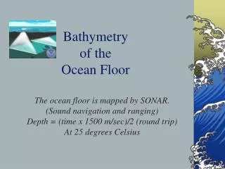
Underwater Cartography: The Art of Bathymetry. By Alan Lee and Neil Fitzharris. Aquaman, Manager of Fish. Fish stocking quotas Chemical rehabilitation. For the Rock Lovers. Estimate rates of sedimentation.

E N D
Underwater Cartography: The Art of Bathymetry By Alan Lee and Neil Fitzharris
Aquaman, Manager of Fish • Fish stocking quotas • Chemical rehabilitation
For the Rock Lovers • Estimate rates of sedimentation.
So I’m not a limnologist, hunter, fisher, or natural resources manager. What do bath measurements have to do with me?
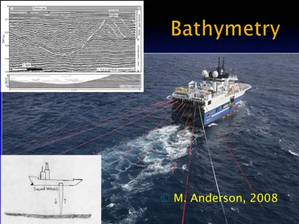
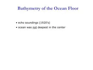
If I Were the Most Ballin’ I-Banker This is How I Would Do Bathymetry… • A sonar sends out sound to make the map.
Gorilla Positioning Satellite (Because That’s What I’d Use it For) • Go across the lake on transects. • Check whether you’re going straight through longitude and latitude.
Two guys. One boat. No motor. Junk GPS. • Line of sight method • Used raft, didn’t work well
Bathymetry, the Jack Lalanne Way! • Got out and dragged the boat.
Island Hoppin’ • Took perimeter of lake, except for near cliff wall. • Took points on islands.
Calculations • Surface Area: 68,537 m2 • Volume: 69,887 m3 • Maximum Depth: 2 m • Average Depth: 0.87 m
What’s left… More work on the map Groundtruthing Long-term storage of data
Future Bathymetry • Caution against doing bathymetry over again. • Develop fish management plan. • Sedimentation and geology studies.
Thanks! Arigato! Danke! Mm goi! Merci! Mahalo! T’anks ah! Xie Xie! • We appreciate the help of Brien Holsapple for lending us the boat, Professor Dina Leech for advice and help, Beth Wilkerson for her invaluable assistance with ArcGIS, and all you guys for a great semester and for your time and attention!