Download
1 / 16
170 likes | 317 Views
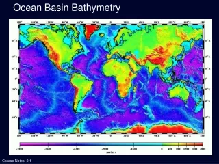
Bathymetry Lab. Adam Fox Coastal Carolina University. What is Bathymetry?. Bathymetry : the measurement of water depth. Multiple measurements of depth can used to visualize the topography of the sea floor. Why Map the Sea Floor?. Why Map the Sea Floor?.

E N D
Bathymetry Lab Adam Fox Coastal Carolina University
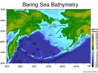
What is Bathymetry? • Bathymetry: the measurement of water depth. Multiple measurements of depth can used to visualize the topography of the sea floor.
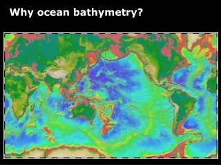
Why Map the Sea Floor? • To learn about the deep parts of the ocean that are hard to observe • To gather information about plate tectonics • To find shipwrecks and other items of interest • To aid in navigation
Mapping the Sea Floor • How do we map the sea floor today?
Satellite Altimetry • Use satellites to measure sea surface height • Sea surface height corresponds to sea floor height Graphic: topex.ucsd.edu
Side-Scan Sonar • Very detailed images of small areas of sea floor
Satellite Altimetry • Use satellites to measure sea surface height • Sea surface height corresponds to sea floor height • AUVs can also be used to map the sea floor Photo: NOAA
Mapping the Sea Floor • How did we map the sea floor before satellites?
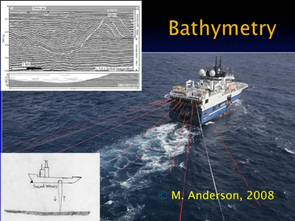
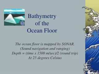
Echo-sounding • Send sound waves down to sea floor • Listen for them to bounce back. • Use a formula to calculate water depth • Multi-beam bathymetry • Use lots of sound beams at once Graphic: saddleback.edu
Mapping the Sea Floor • What about before then?
Mapping the Sea Floor • Lead Lines • A weighted rope with depth markings Photo: NOAA
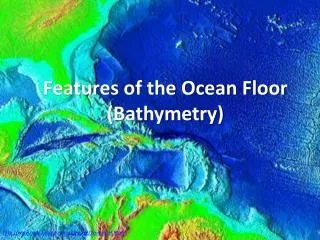
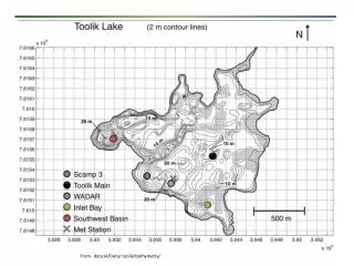
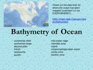
Maps of the Ocean Floor • Contour Map • Contour lines (isobaths) connect areas of similar height/depth • Bathymetric Cross-Section • Shows what it would be like if you walked along the sea floor on a specific line • Depth often exaggerated to make features more visible
Maps of the Ocean Floor Contour Map Cross-Section Image: NOAA
* We would like to know more about our local water body. What questions do we have about the pond itself?