Download
1 / 1

E N D
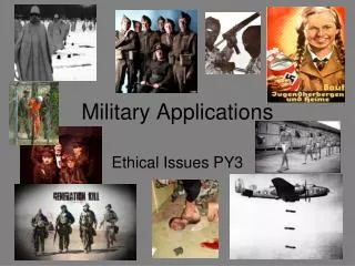
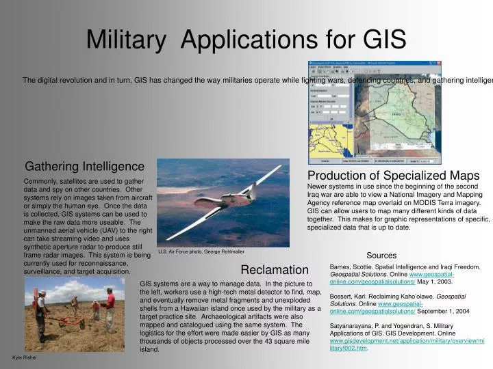
Military Applications for GIS The digital revolution and in turn, GIS has changed the way militaries operate while fighting wars, defending countries, and gathering intelligence. With GIS and accompanying equipment, information is readily available to be uploaded, processed and stored. Military applications of GIS are many: cartography, intelligence, battlefield management, weapons guidance, navigation, terrain analysis, installation management, weather monitoring, logistics, reclamation. Gathering Intelligence Production of Specialized Maps Commonly, satellites are used to gather data and spy on other countries. Other systems rely on images taken from aircraft or simply the human eye. Once the data is collected, GIS systems can be used to make the raw data more useable. The unmanned aerial vehicle (UAV) to the right can take streaming video and uses synthetic aperture radar to produce still frame radar images. This system is being currently used for reconnaissance, surveillance, and target acquisition. Newer systems in use since the beginning of the second Iraq war are able to view a National Imagery and Mapping Agency reference map overlaid on MODIS Terra imagery. GIS can allow users to map many different kinds of data together. This makes for graphic representations of specific, specialized data that is up to date. U.S. Air Force photo, George Rohlmaller Sources Reclamation Barnes, Scottie. Spatial Intelligence and Iraqi Freedom. Geospatial Solutions. Online www.geospatial-online.com/geospatialsolutions/ May 1, 2003. Bossert, Karl. Reclaiming Kaho’olawe. Geospatial Solutions. Online www.geospatial-online.com/geospatialsolutions/ September 1, 2004 Satyanarayana, P. and Yogendran, S. Military Applications of GIS. GIS Development. Online www.gisdevelopment.net/application/military/overview/militaryf002.htm. GIS systems are a way to manage data. In the picture to the left, workers use a high-tech metal detector to find, map, and eventually remove metal fragments and unexploded shells from a Hawaiian island once used by the military as a target practice site. Archaeological artifacts were also mapped and catalogued using the same system. The logistics for the effort were made easier by GIS as many thousands of objects processed over the 43 square mile island. Kyle Rishel