Download
1 / 13
180 likes | 434 Views
GIS Applications in Ecology. Jim Hovan Conestoga Valley HS Lancaster, PA jim_hovan@cvsd.k12.pa.us 717.397-5231 ext. 2233. GIS Basics.

E N D
GIS Applications in Ecology Jim Hovan Conestoga Valley HS Lancaster, PA jim_hovan@cvsd.k12.pa.us 717.397-5231 ext. 2233
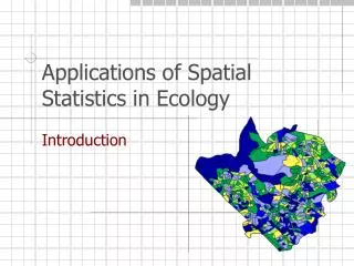
GIS Basics • GIS or Geographic Information Systems are digital cartographic and database systems that allow you to store, organize, and access a limitless array of data in a spatial environment. • GIS is a ubiquitous technology that is used in everything from cell phone navigation, Internet direction services, to corporate logistics (May we have your zip code / phone number?).
GIS Basics • Shapefiles • Points • Lines • Polygons • 3-dimentional Objects • Layers • Base Layer • Turn on/off layers as needed • See in PA Virtual Atlas
GIS Basics http://ssnds.uwo.ca/sscnetworkupdate/2006winter/images/gis.jpg
GIS Basics • Web-based vs. Desktop GIS • What’s the difference? • What are the pros and cons?
GIS Basics • Many governmental agencies organize their data spatially using GIS and make it available to the public for free. • Until recently these data have been available primarily for use with desktop GIS applications. • More and more data are available for web-based GIS applications, particularly Google Earth.
GIS Basics • Getting Started with Web-based (ALL FREE) • Web-based Google Earth • PASDA Maps and PA Virtual Atlas • PA SoilMap • Getting Started with Desktop GIS • ArcGIS Explorer (Free) • ArcGIS Schools and Libraries Site License (Very Cheap!) • Obtain data from PASDA or County GIS websites.
Sample Projects in Ecology • Unnamed watershed delineation using Google Earth • Mapping tributaries using Google Earth • Land Use analysis using Google Earth • Virtual Field Trips using Google Earth
Sample Projects in Ecology • Bedrock analysis and soil survey using ArcGIS • Slope confirmation using ArcGIS • Small Watershed Study using ArcGIS • Keeping track of field data using ArcGIS • Development Project using ArcGIC
Sample Projects in Ecology • Getting Started with GIS Activity.
THANK YOU Don’t be afraid that you’re going to make a mess!