Download
1 / 18
180 likes | 369 Views
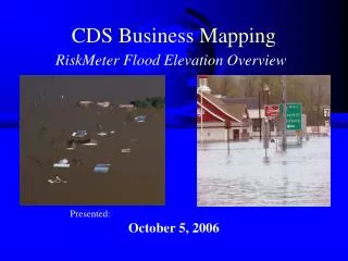
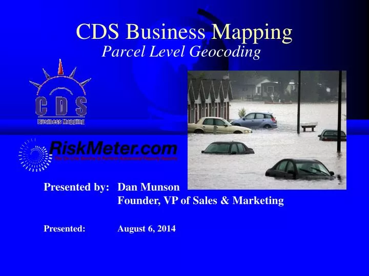
CDS Business Mapping. Presented by: Dan Munson Founder, VP of Sales & Marketing. Parcel Level Geocoding. Presented: August 6, 2014. About CDS Business Mapping. Founded in 1994 as a mapping (GIS) consulting company

E N D
CDS Business Mapping • Presented by: Dan Munson • Founder, VP of Sales & Marketing Parcel Level Geocoding Presented: August 6, 2014
About CDS Business Mapping • Founded in 1994 as a mapping (GIS) consulting company • Has evolved into a company that specializes in hazard mapping for insurers, underwriters, and agents • Main business now revolves around the RiskMeter and related services • Company is now a national leader • Complete projects/maps on a service basis • Sell a complete line of mapping software
The Risk Meter Online™ • Performs property risk reports • Internet based service • Instant results • Quick, accurate, easy-to-use • Check individual risks or an entire book for geographic risks (Batch) • Software has been in use since 1996 • Internet version (RM Online) 1998
Reports Available • Distance to Shore • Flood Zone Determinations • Proximity to Brush Fire Hazards • MMI, Soil, EQ Scores • Crime Scores • State Wind Pool Eligibility • Storm Surge • State Tax Codes • Hail Exposure Index • Tornado Exposure Index • Rating Territory (Your territories) • Building Characteristics (year built/SF/# of Stories, etc) • Slope, Aspect, Elevation • Aerial Photos • And More!!!
Street Level Geocoding • Geocoding is the process of finding geographic coordinates (e.g. Latitude and Longitude) from geographic data such as street addresses or ZIP codes • Geocoding is often performed through interpolation of street segments. • Interpolation takes known address ranges from a street segment and places the point relative to where the address number falls within the range of addresses on that street segment (125 Broad St. would be towards the end of a street segment ranging from 2 – 140) • There are many different levels of accuracy when geocoding
Problems with Street Geocoding • Not all parcels are the same width • Not all numbers in an address range actually exist • Irregularly shaped parcels (corners) • All lead to positional errors • Average accuracy is +/- 167’
Levels of Accuracy Best • S8- Single Match to the Centroid of a Parcel • S7- Match Interpolated Along a Street Segment Between Known Addresses • S6- Single Match to a Point Zip Code • S5- Single Match to a Street Address Position • S4- Street Match • S3- Zip+4 Match • S2- Zip+2 Match • S1- Zip Centroid Match • SX- Street Intersection Match Worst
Parcel Geocoding • Parcel geocoding maps the address to the centroid of the parcel • Centroid points are based on parcel polygons acquired directly from municipalities across the United States and conflated monthly with postal data from the USPS • Geographically most accurate form of geocoding available • 98% of all differences less than 250% • 25-50% change in the actual parcel • If a parcel match is not found, it falls back to street address interpolation
Uses • Most valuable where accuracy matters • High Accuracy Needed • Flood Zones • Storm Surge • Brushfire • CA Landslide/Liquefaction • High Accuracy Preferred • Tax applications • Rating territories
Why don’t all addresses get parcel matches? • Many counties don’t have digital parcel maps; so no data available • Locations can have multiple street names; assessor will only have one of them • Condo buildings are handled in very strange ways • Many times not included • APN numbers don’t match • Parcels are cut into little pieces (50 units, 50 pieces)
Questions? Dan Munson Founder, Vice President of Sales & Marketing CDS Business Mapping 67 Broad St. – 6th Floor Boston, MA 02109 617-737-4444 dmunson@cdsys.com www.riskmeter.com