Download
1 / 27
270 likes | 280 Views
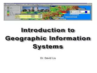
LNS Website, WebGIS and Spatial Data Mapping Information David R. Green – University of Aberdeen Guillaume De La Fons – University of Aberdeen Shirisha Karnam – University of Aberdeen Amsterdam – 23 rd – 24 th September 2010. OUTLINE. LNS Website Web-GIS Datasets NING

E N D
LNS Website, WebGIS and Spatial Data Mapping Information David R. Green – University of Aberdeen Guillaume De La Fons – University of Aberdeen Shirisha Karnam – University of Aberdeen Amsterdam – 23rd – 24th September 2010
OUTLINE • LNS Website • Web-GIS • Datasets • NING • Future Enhancements • Items for Discussion
RECAP Logos Website structure CMS Spatial data model Web-GIS (idea) Capabilities
New LNS Partnershttp://www.livingnorthsea.eu/network/ Downloads and NewsAll partner to use Download option and News area to be updated.
Web-GIS datasets: • Movement tracking • Species Distribution • Obstructions • Fish Nursery and • Spawning sites in NSR
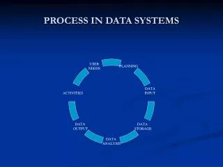
Datasets • INSPIRE compliant data model • Data needs to validated (David) • Newly captured or older version data • Information in the form of a graphic, image, or map • Web-GIS perspective- datasets in a compatible format
Future Enhancements Supporting Education and research Fish Atlas Dedicated database (PostGIS) Metadata / INSPIRE compliant datasets Website standardization More informative Customized Web-GIS maps (Mapserver) Encourage partners to use LNS website to uploading documents Datasets can only be accessible to authorised users Overview of GIS functions for Google Earth, WebGIS and classic as a GIS
KEY ISSUES FOR DISCUSSION • Downloads (documents, newsletter, software, factsheets, educational information) • Photographic Archive • Videos • Datasets • Metadata • Relevant fish migration pictures • Database and information • Maintenance • Useful website links • Discussion on Research papers or topics
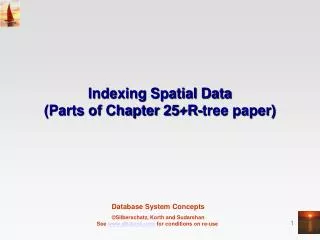
Barcelona Trip • Mapserver Open Source GIS used to display dynamic spatial maps over internet. It supports multiple OS and many scripting languages. Allows to build user friendly query structures. • PostGIS A spatial database to store, manipulate and retrieve spatial objects in form of maps. Supports all forms of datasets vectors, raster, database tables etc.
Tomorrow’s Workshop • Top five research questions • Partner perspective • Knowledge gap • Analysis tools (Mapserver & PostGIS)
Who can attend this session • Researchers, PhD’s • Scientists • Fish data managers • Data collectors
Thank You ……… CMCZM, Department of Geography & Environment University of Aberdeen, St. Mary’s Elphinstone Road, Aberdeen, AB24 3UF Scotland, UK Tel. +44 01224 272324 – Fax. +44 01224 272331 Internet.www.abdn.ac.uk/cmczm Email. d.r.green@abdn.ac.uk and shirisha.karnam@abdn.ac.uk