Download
1 / 17
170 likes | 303 Views
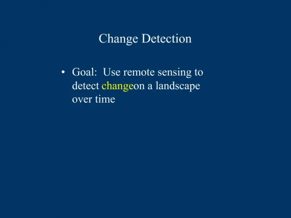
Forest Change Detection in Fiji transparent through Web Display 21-Nov-2013. Naomi Jackson. OUTLINE. Forest change detection mapping 1:50000 Web Platform Used Method Other Assistance provided Challenges Future Plans. Change Detection.

E N D
Forest Change Detection in Fiji transparent through Web Display 21-Nov-2013 Naomi Jackson
OUTLINE • Forest change detection mapping 1:50000 • Web Platform Used • Method • Other Assistance provided • Challenges • Future Plans
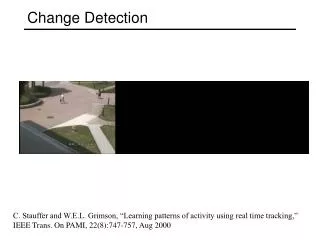
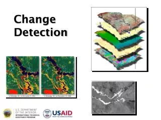
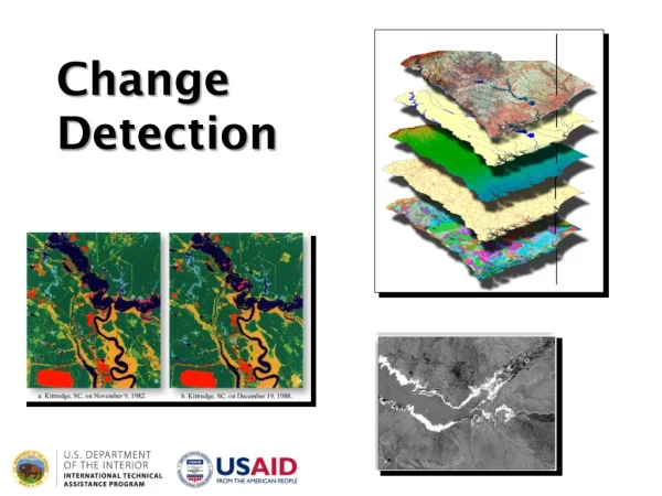
Change Detection • Forestry officers come to SOPAC-SPC for training and map forest areas • Completed 1:50,000 • Layers ready for Web Display
WHY?? • Public view and check • Any Misinterpretations can be clarified and changed
Geonode-Platform • Geonode is a web-based application and platform for developing geospatial information systems (GIS) Open Source Software - QGIS ,UDIG and ATLAS STYLER
SOPAC Geonode • Different projects, different data, different requirements, different access levels : • ONE SOLUTION • Singular Platform • Geonode Platform Version 2 • (development stream) • Used internally within the division by all programmes • Unified Approach to Cataloguing, • Archiving and Exposing Diverse • GIS/Spatial Datasets
Method • Raster (.tif) format instant upload • Vector (.shp)format • Create a .sld file (using ATLAS) • Uploaded with .shp file (Editing) • Co-ordinate reference System • Upload • Login
Assistance on WEB • GIZ – Redd++ poject maps hosted in SOPAC
Assistance on WEB • Weekly Updates to MOA and MOF
Previous Practise • A staff of the GIS unit would go and install the updates at the Forestry Department to update maps • Email the Layers - (Error)
Current Practise • Updates on Geonode Accessible as long as you have internet connection
Challenges • Formats • Co-ordinate reference system (Reproject) • View and download (If you can view you can download)
Next Steps • Provide more Change Detection Updates on Geonode to GIS clients • Have data available on PacGeo( PIC DataBank)April 2014 • Provide the same assistance to Pacific Island Countries