Download
1 / 26
390 likes | 739 Views
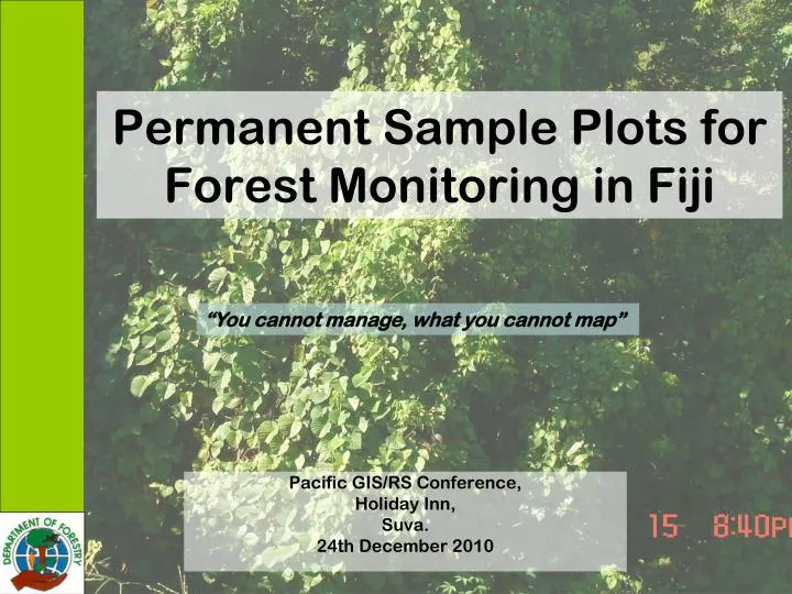
Permanent Sample Plots for Forest Monitoring in Fiji. “You cannot manage, what you cannot map”. Pacific GIS/RS Conference, Holiday Inn, Suva. 24th December 2010. Overview. Objectives Plots Design and Layout Plot Forms Plots Established. Permanent Sample Plots.

E N D
Permanent Sample Plots for Forest Monitoring in Fiji “You cannot manage, what you cannot map” Pacific GIS/RS Conference, Holiday Inn, Suva. 24th December 2010
Overview • Objectives • Plots Design and Layout • Plot Forms • Plots Established.
Permanent Sample Plots • Establishment of an Annual Allowable Cut (AAC) for Fiji’s natural forest, to ensure that harvesting is done at a level which the forest can biologically support.
Permanent Sample Plots First Phase: • Awareness are done to Resource Owners first from Administrative Level and Provincial Level. • Awareness also conducted to Mataqali Heads where the plots are located. • Establishment of Sample Plots
PLOT LAYOUT • CIRCULAR PLOT • 3.0cm but less than 1.0m- tallied • >than 1.0 m but less than 9.9cm dbh These trees are tallied SUB PLOT All trees greater than 10 cm dbh but less than 29.9 cm dbh are measured. Height taken & recorded MAIN PLOT All trees greater that 30cm dbh are recorded and height measured BIO MASS CIRCULAR PLOT All dead or alive material This spot only above the ground 30cm 20m 20m 5m 30cm 3m 30cm 5m 3m 5m 20m 20m 30cm 50 m 50 m 5m 5m
Main Plot • 50m by 50m • Measure all trees with diameter GREATER THAN 30 cm in diameter using a diameter tape and recorded in the field recording form. The trees are identified, numbered using yellow paint and recorded in the field recording form. • Tree heights measure using Height Pole. • Record if the trees bear fruits or seeds during the time of assessment • Record if there is any dead trees standing or alive within the plot.
Subplots • 20m by 20m • All regeneration trees which are GREATER THAN EQUAL TO 10cm diameter but LESS THAN EQUAL TO29.9 cm • The trees are identified, numbered using red paint and recorded. • The tree heights are measured using a Height pole. • Record if the trees bear fruits or seeds during the time of assessment • Record if there is any dead trees standing or alive within the plot.
Circular Plot • All regeneration trees LESSTHAN ONE METER are identified, tallied on to the field form. • Also for those trees which are GREATER THAN or EQUAL TO ONE METER height and LESS THAN 3cm DBH. • Measure trees GREATER THAN EQUAL TO 3cm DBH but LESS THAN EQUAL TO 9.9cm. The color that is being used is blue paint. • Three meters stick stress out to the circumference of the circular plot. Fishing line or ribbons at the end to locate the circumference of the plot. Clockwise identify the tree species and count the trees making sure not miss a single tree or recount an existing tree.
Biomass Circular Plot • The 4 corner of the 50 x 50m plot (5m by 5m from main plot) • All the dead organic matters found on the spots are collected and stored in a plastic bags • Wet weight are recorded on a digital scale and then dried-up on a oven and then weigh again to record the dry weight.
Plots Established Plots are distributed on the 12 Km on grid spacing on Viti Levu and 11 Km on Vanua Levu.
Why Manage Forests? • Better Resource Planning • Informed decisions by using “what if” scenarios. • Sustainability of forests resources • Identifying of areas under threat • Setting of priority areas
Vinaka Vakalevu Questions ?????