Download
1 / 29
290 likes | 306 Views
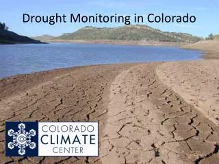
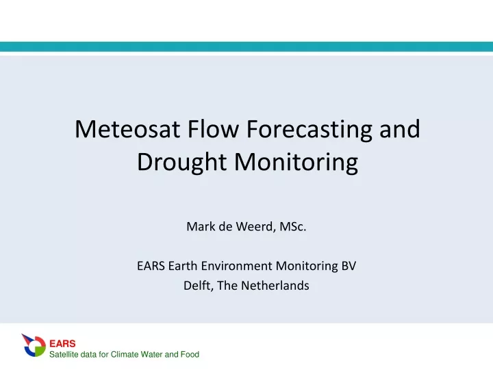
Meteosat Flow Forecasting and Drought Monitoring. Mark de Weerd, MSc. EARS Earth Environment Monitoring BV Delft, The Netherlands. EARS Earth Environment Monitoring BV. Remote sensing company since 1977 Delft, the Netherlands Energy & Water Balance Monitoring

E N D
Meteosat Flow Forecasting andDrought Monitoring Mark de Weerd, MSc. EARS Earth Environment Monitoring BV Delft, The Netherlands
EARS Earth Environment Monitoring BV • Remote sensing company since 1977 • Delft, the Netherlands • Energy & Water Balance Monitoring • Climate, Water and Food applications: • River flow forecasting • Drought monitoring • Crop yield forecasting • Crop insurance
MTSat FY2c METEOSAT IOC Meteosat MSG
Precipitation Evaporation Heat Radiation Flow Energy en Water Balance
Meteosat FengYun-2 WMO stations Hydrological model River flow forecasting Precipitation Rainfall processing Clouds Drought monitoring Drought processing Evaporation VIS & TIR Energy balance processing Temperature Albedo Crop growth model Crop yield forecasting Radiation Energy and Water Balance Monitoring System (EWBMS)
Rainfall processing cold high medium high medium low • Meteosat TIR • Cloud top temperature • Cloud level • Cloud level durations (CDi) • GTS rain gauge data (R) • Regression: • R = a0+a1CD1+a2CD2+ …. • Calculate rainfall field 6
Evapotranspiration processing HourlyTIR Potential evaporation Radiation In = (1-Ao) Ig – Lu LEp= 0.8 In Rel. evaporation To,Ta, Ao,t RE=LE/LEp Sensible heat flux Actualevaporation Atm.corr. H = (To-Ta) LE = In - H TIR VIS Cloud? constant “Bowen ratio” Ac , tc In = (1-Ao) tc Ig LE = 0.8*RE*In HourlyVIS
Example project: Yellow River basin (2006-2009) Upper Yellow River Second largest river basin of China Wei River
GMS / FY2 evapotranspiration data 1st quarter 2000 2nd quarter 2000 4th quarter 2000 3rd quarter 2000
Water balance validation Upper Yellow River
Land component: 2-dimensional diffusion process Surface & sub-surface flow Large Scale Hydrological Model (LSHM) Ql(t) Ql(t) Q(t) Hydrological Model by UNESCO IHE River flow component: Muskingum-Cunge routing EWBMS Precipitation & Evapotranspiration Q(t)
Wei River flow simulation R2 = 0.75 Vol. error = 4% R2 = 0.80 Vol. error = 11%
Wei River 24 hr forecast RMSE = 110 m3/s RRMSE = 0.37 COE = 0.75 R2 = 0.79
High level interest at the2nd International Yellow River ForumZhengzhou, October 2005
Yellow River project evaluation • By a Chinese high-level scientific commission • Classification: “World Leading Level” • 2nd Prize China Ministry of Water Resources
Niger Basin project (2014-2017) • Niger Basin Authority (NBA), Niamey, Niger • Operational implementation • Drought monitoring • River flow forecasting
Implementation project components • Meteosat receiver • PC network • Software • Pre-processing • EWBMS • LSHM • Utility GIS • Calibration & Validation • Training
India Meteosat Indian Ocean Data Coverage (IODC)
Conclusions • Operational water monitoring and flow forecasting system • Distributed precipitation and evapotranspiration data Data: • Has at least a daily temporal resolution and a 5 km spatial resolution. • Is transboundary, uniform, objective and cost effective
Thank you for your attention mark@ears.nl www.ears.nl