Download
1 / 9
90 likes | 106 Views
CDCOL - Colombian Data Cube. Forest and Carbon Monitoring System. SCIENTIFIC INFORMATION AT THE SERVICE OF SECTORAL PLANNING. Reports Environmental Indicators for SDG. 6. 15. www.ideam.gov.co/web/ecosistemas/ecosistemas-recursos-forestales. FOREST AND CARBON MONITORING SYSTEM.

E N D
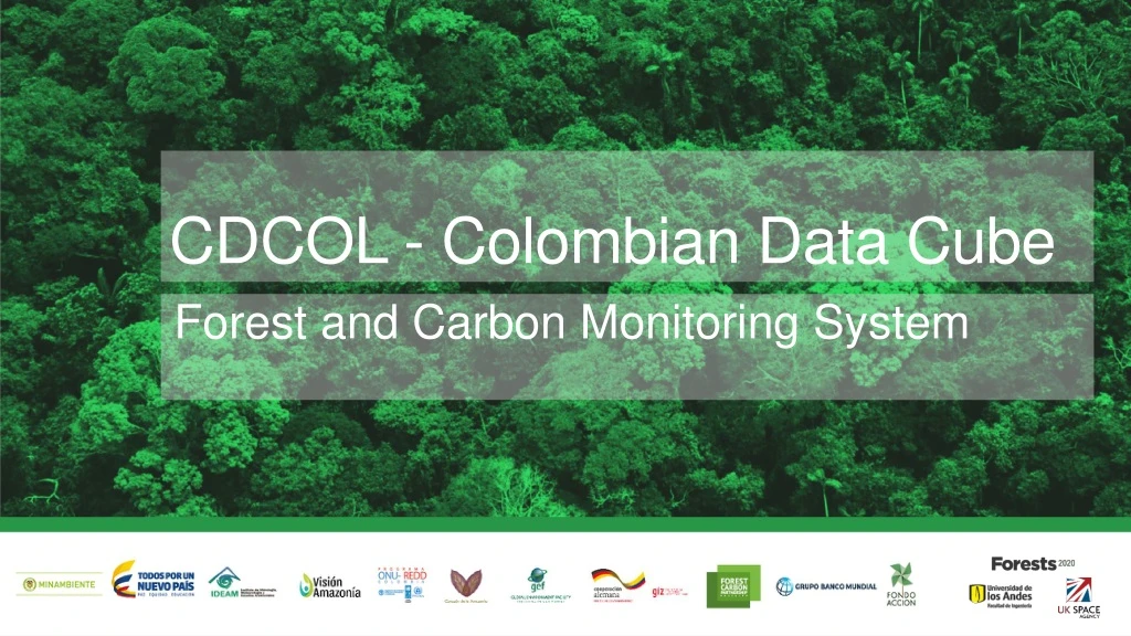
CDCOL - Colombian Data Cube Forest and Carbon Monitoring System
SCIENTIFIC INFORMATION AT THE SERVICE OF SECTORAL PLANNING Reports Environmental Indicators for SDG 6 15 www.ideam.gov.co/web/ecosistemas/ecosistemas-recursos-forestales
FOREST AND CARBON MONITORING SYSTEM Since 2016 Quarterly • Early warning • Identifying hot spots • C&A Deforestation and Degradation • - Caracterization • - Modelation • Carbon monitoring • - Carbon stocks • - GHG Emissions • National quantification of deforestation • - Forest areas • - Forest change detection • Deforestation rate 1 2 4 5 6 7 3 8 Since 2013 Annual
Deforestation in Colombia Deforestation rate 2016 178.597 ha 44% 2015 124.035 ha
Deforestation drivers Direct causes of deforestation Pasture conversion Road infrastructure Illicit crops Extensive cattle raising Mineral extraction (illicit *) Forest Fires 7 hotspot 2016 1990-2000
Colombian Data Cube CDCol 17years FROM 2000-2016 30meters PIXEL RESOLUTION 3sensors LANDSAT 5/7/8 Downloading and ingestión of all country (Landsat 5-7-8) 27.070downloaded images LANDSAT 5/7/8 Applicacions: temporal composed imagery, change detection PCA, WOFS, land cover classification 16.400 ingested images LANDSAT 5/7/8 17.2TB NO DATA CUBE Workshops and capacity building 135.441tiles LANDSAT 5/7/8 3.8TB DATA CUBE - NETCDF Interface WEB: user management, algorithms bank 1.4x 10¹² PIXELS
Lesson Learned and recommendations • Is important to define agreements between national entities to establish responsibilities for reporting SDGs • Also, is important to build capacities in order to continue the statistic operations for generating official information • Is needed a national capacity for administration the Data Cube and for creation of new algorithms (python) in order to support new information products (SDG) • Is needed a very powerful technological infrastructure to manage the Big Data of EO (which is growing exponentially)
Thanksforyourattention… Anyquestion? María Teresa Becerra mtbecerra@ideam.gov-co Edersson Cabrera ecabreram@ideam.gov.co Gustavo Galindo ggalindo@ideam.gov.co Pilar Lozano-Rivera plozano@ideam.gov.co