Download
1 / 10
100 likes | 191 Views
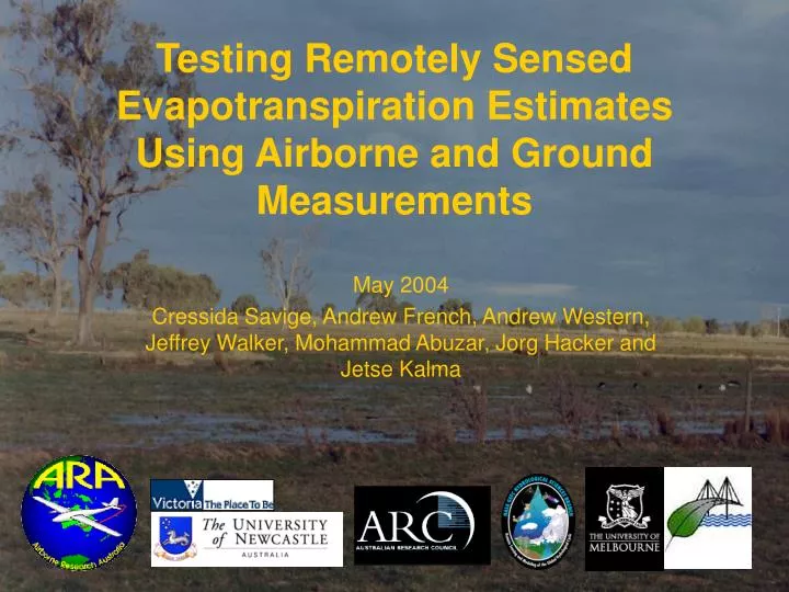
Testing Remotely Sensed E vapotranspiration Estimates Using Airborne and Ground Measurements. May 2004 Cressida Savige, Andrew French, Andrew Western, Jeff rey Walker , Mohammad Abuzar , Jorg Hacker and Jetse Kalma. Satellite. Aircraft. L E. L E. Satellite Image. MODEL. Land Surface.

E N D
Testing Remotely Sensed Evapotranspiration Estimates Using Airborne and Ground Measurements May 2004 Cressida Savige, Andrew French, Andrew Western, Jeffrey Walker, Mohammad Abuzar, Jorg Hacker and Jetse Kalma
Satellite Aircraft LE LE Satellite Image MODEL Land Surface
2-SOURCE 1-SOURCE RnS Rn LEC HC RnC HS H LES LE G G Surface Energy Balance Rn = H + LE + G
Irrigation Region 0 25 50 Km
Airborne Flux Measurements wi = 109 Wm-2 btw = 43 Wm-2 NR ~ 1
H B = 1.2 AIRBORNE B = 1.2 SEBAL B = 1.2 2-SOURCE LE
B = 3.2 AIRBORNE B = 1.7 SEBAL B = 2.8 2-SOURCE 0 2.5 5 Km Regional Fluxes
0 0 2.5 2.5 5 5 Km Km -160 0 160 Wm-2 Model ComparisonDifference = 2-SOURCE - SEBAL Sensible Heat Flux Difference Latent Heat Flux Difference
Findings… • Model estimates are • Scale of surface heterogeneity is important… • Model agreement… Pasture: good Sparse cover: poor
This project was supported by: • Australian Research Council • University of Melbourne • Hydrological Sciences Branch, NASA Goddard Space Flight Centre & Nanneella LandCare Group