Download
1 / 9
90 likes | 198 Views
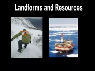
Landforms and Resources. Amor Duran, Kelsi Rodriguez, Chelsea Vargas, Jonadab Larios. Peninsulas and Islands. Indochinese peninsula is south of china Malaya peninsula is a narrow strip of land about 700 miles long stretching south from the mainland then curving southeast

E N D
Landforms and Resources Amor Duran, Kelsi Rodriguez, Chelsea Vargas, JonadabLarios
Peninsulas and Islands • Indochinese peninsula is south of china • Malaya peninsula is a narrow strip of land about 700 miles long stretching south from the mainland then curving southeast - Is like a bridge between mainland and islands • Most islands are found in archipelagoes - Archipelago is a set of closely grouped islands, which sometimes form a curved arc • Philippines and the islands of Indonesia are part of the Malay archipelago
Mountains and Volcanoes • The mainland has several mountain ranges such as Annamese Cordillera - running roughly north ad south • On islands most mountains are of volcanic origin • Southeast Asia and oceana are part of the pacific ring of fire
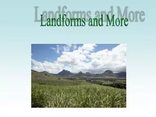
Rivers and Coastlines • Near the coast, rivers spread out into fertile deltas • The Mekong river begins in china and becomes a wide delta on Vietnams coast - Millions of people rely on Mekong for farming and fishing - Made it an irregular coastline with many parts • Great deal of seagoing travel and trade Mekong River, Vietnam
Resources • Fertile soil • Volcanic activity and flooding keeps the soil rich • Large numbers of fish in nearby rivers and seas • Mineral resources - Petroleum - Tin - gems
Oceania’s Many Islands • There are so many islands that geographers don’t like studying them because they vanish due to erosion • Some are small, others are rather large • Oceana lacks resources, poor soil, majority lack in minerals • Lack of resources makes it hard to develop and industrialize
Majestic New Zealand • Has 2 main islands - North islands - South islands • North island - has hilly ranges and a volcano plateau - fertile farmland and forest • South island - many more mountains and rivers • Both islands are very similar and New Zealand as a whole lacks mineral resources
Flat Australia • Smallest and flattest continent on earth • Great dividing range - rise higher than 5,000 feet • Has few rivers - The largest river is Murray River - Flows into southern ocean • Rich in minerals - Worlds leading supplier of beauxite, diamonds, opals, lead, and coal • Worlds largest Coral Reef - Called “ The Great Barrier Reef”
Icy Antarctica • Fifth largest continent - Circular in shape, it is centered on the south pole • Transantarctic Mountains divide the continent into East and West • East Antarctica - Plateau surrounded by mountains and valleys • West Antarctica - Group of separate islands linked only by ice that covers them • Antarctica’s Ice sheet is the largest supply of fresh water in the world