Download
1 / 18
180 likes | 357 Views
GEO and GEOSS…. GEO is an Intergovernmental Group 60 Nations European Commission 43 Participating Organizations With a Single Objective: GEOSS To establish a global, coordinated, comprehensive and sustained system of Earth observing systems. EOS I. Earth Observation Summit (EOS) I

E N D
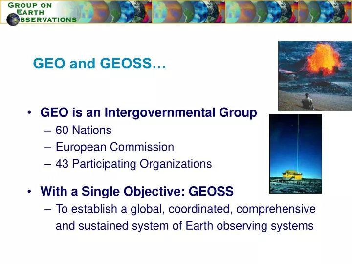
GEO and GEOSS… • GEO is an Intergovernmental Group • 60 Nations • European Commission • 43 Participating Organizations • With a Single Objective: GEOSS • To establish a global, coordinated, comprehensive and sustained system of Earth observing systems
EOS I • Earth Observation Summit (EOS) I • July 31, 2003, Washington,DC • 34 Countries and 20 International Organizations • EOS II • April 25, 2004, Tokyo, Japan • 47 Countries and 26 International Organizations • EOS III • February 2005, Brussels • Nearly 60 Countries, EC and over 40 International Organizations EOS II EOS III
EARTH OBSERVATION SUMMIT III : RESOLUTION • Formally established the Group on Earth Observations (GEO) • Adopted GEOSS 10-year Implementation Plan • Endorsed the creation of a Secretariat
EARTH OBSERVATION SUMMIT III : • Issued special communiqué promoting support for Tsunami and Multi-hazardEarly Warning Systems • Prompted the creation of an international GEO Working Group on Tsunami Activities co-chaired by Thailand, Italy, and the Intergovernmental Oceanographic Commission (IOC)
Tsunami Sources in the world (2180 events from 1628BC to 2005) Source: Kong (2005)
Tsunamis 1992 – 2004 : 14 destructive tsunamis October 4, 1994 Kuriles M: 8.1 Maximum run-up : 5 m Fatalities: 8 November 26, 1999 Vanuatu M: 7.5 Maximum run-up : 5 m Fatalities: >10 December 26, 2004 Sumatra Island M: 9.0 Indonesia Maximum run-up : 35 m Fatalities: 250,000 2,000 June 21, 2001 South Peru M: 8.3 Maximum run-up : 15 m Fatalities: 81 2,500 Source: Kong (2005)
Participants into the GEO Tsunami Working Group • 19 Countries & the EC • Australia Belgium Canada China • Croatia FranceGermany GreeceIndia Iran ItalyJapan NetherlandsNorwaySwitzerlandThailand • UK US Uzbekistan 17 Participating Organizations CEOS EEA ESA IOC ESEAS ISCGM EUMETSAT ISDR EuroGeoSurveysPOGO FDSN SICA/CCAD GOOS IAG IEEE UNITAR WMO
GEO Working Group on Tsunami Activities • Met on three occasions * 1st Meeting 7-8 Sept 05 at IOC Paris * 2nd Meeting 3-4 Nov 05 at WMO Geneva * Informal Meeting 23 Nov 05 at APAT Rome • Provided recommendations on * GEO’s Role * GEO Tasks for 2006
GEO’s Role… Towards a multi-hazardmulti-purposeapproach
Moreover… • Act as a catalyzer, identify gaps, accelerate processes without interfering or duplicating efforts • Team-up directly with IOC on relevant issues • Facilitate the development of high-level stakeholders’ commitments • Involve users (cf. GEO User Interface Committee) • Help bridge in-situ, airborne and space communities • Help ensure sustainability of infrastructure and know-how
Proposed GEO Tasks for 2006… • Encourage in-situ and space agencies to (i) systematically record data over regions subject to tsunami risk and (ii) archive data in a user-friendly form easily accessible to all countries • Promote free and unrestricted exchange of all data relevant to tsunami early warning systems • Facilitate the production in coastal zones of high-resolution near-shore bathymetric maps, land use/ land cover maps, and digital elevation models
Proposed GEO Tasks for 2006… • Harmonize efforts towards the preparation of a “global tsunami hazard map” to support coastal zone monitoring and infrastructure planning & investment. • Promote the cooperation of national and international agencies towards a multi-hazard approach to coastal risk management • Explore possibilities for the development of an international charter on telecommunication systems and disasters
Proposed GEO Tasks for 2006… • Initiate and maintain a dialogue between GEO,the Board of the International Charter on Space and Major Disasters and relevant UN agenciesto identify mechanisms for strengthening the scope and mandate of the Charter.
Following GEO-II, the Working Group on Tsunami Activities may extend its scope fromTsunamis to All-Hazards
In 2006, the Working Group on Tsunami Activities will contribute to GEOSS by helping:* Define lead entitie(s) for task implementation* Design detailed strategies* Coordinate and monitor implementation* Review international initiatives (e.g., UK proposal or UNOOSA/DMISCO)* Define GEO's position vis à vis new initiatives
The next meeting of the Working Group will take place on 27-28 February 2006in Geneva