Download
1 / 34
420 likes | 802 Views
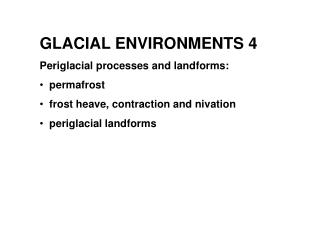
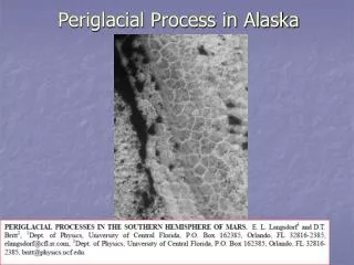
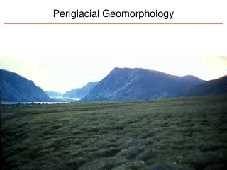
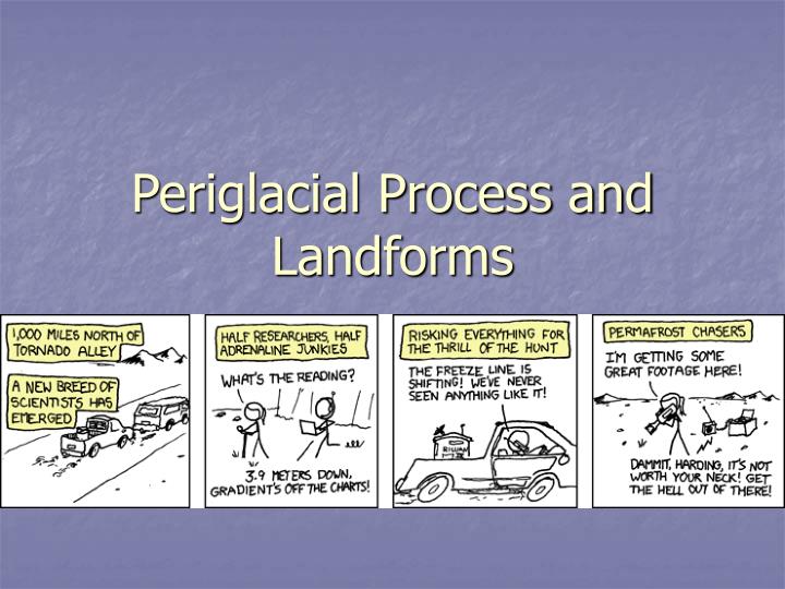
Periglacial Process and Landforms. Permafrost distribution in the Arctic. high latitudes. Periglacial (tundra) environments. Alpine tundra. Arctic tundra. Permafrost. Perennially frozen ground that remains at or below 0 C (32 F) for two or more years

E N D
Permafrost distribution in the Arctic high latitudes
Periglacial (tundra) environments • Alpine tundra • Arctic tundra
Permafrost • Perennially frozen ground that remains at or below 0 C (32 F) for two or more years • Forms in regions where the mean annual temperature is colder than 0 C • Permafrost underlies about 20% of the land in the Northern Hemisphere • also common within the Arctic Ocean’s continental shelves and in parts of Antarctica • Most of the world’s permafrost has been frozen for millennia and can be up to 5,000 ft thick.
Active Layer vs Permafrost: Thermal State “Active layer”: “thermal boundary layer”; near surface, seasonally thawed • Depth at which annual max temp = 0C • Water content, soil strength, and bulk density of soil change dramatically • Produces patterned ground/solifluction • Drives hydrology of periglacial landscapes • Perenially frozen ground: permafrost • Material at < 0C for 2 yrs or more • Sub-freezing thermal state
Temperature Profile • Base of active layer = depth where Tmax = 0C • Below active layer, mean annual temp increases (geothermal gradient) to 0C • This is the base of permafrost • Thickness of permafrost most strongly controlled by mean annual surface temp As mean annual surface temp decreases, permafrost deepens, active layer thins
What sets the depth of the active layer? Mean annual surface temp Temp (depth, time) Thermal behavior Of Periglacial Landscapes geothermal heat flow Oscillation of temp about the mean Oscillations decrease with depth Time lag of oscillations annual temp swings (Tamp) falls off exponentially with depth at a depth of z*, the amplitude or temp swing is 1/3 of that at the surface depth scale = f(thermal diffusivity, period) ~ 3m.
Ground temperatures • Mean T increases with depth • Permafrost • Active layer to • Base of p’frost • Seasonal • Geomorphic work • Active layer • Above ZAA 25C/km = .025C/m
Depth of the active layer • Solve for depth Z*=depth scale P=period of oscillation, 1 yr k=thermal diffusivity of regolith, 1mm2/s Z* ~ 3m If Tamp < mean surface temp, active layer depth = 0 That means it’s frozen all the time, all permafrost
Below the active layer… Single borehole at E. Teshekpuk Lake, AK 70 degrees latitude Clow, 2008 • There is no liquid water so heat moves by conduction, • Q=-k(dT/dz) • Why do model and data vary near surface? • Variation in k with depth? • Msmts say no • Long-term Arctic warming Lachenbruch and Marshall, 1986
Types of Ice • Pore • Frozen in interstitial space between particles • Segregation • Lenses of ice in fine grained sediment, commonly parallel to ground surface • Ice content can exceed porosity • Massive ground ice
Frost Heave • Water migrates through fine grained (silty) material to lenses of ice (segregation ice) • Even against gravity (capillary action) • Ice lenses redistribute moisture • As lenses grow, they deform soil and lift ground surface • Frost heave • Slower rates of freezing allow for more time for water migration • Amount of heave = f(water content, soil texture, rate of freezing)
Upfreezing of stones • Frost heave is the process that enables upward transport of stones to the ground surface • Upfreezing or frost-jacking • Sorting occurs due to long-term effects of upfreezing on unsorted mixed grain size sediments
Frost pull Clast moves up with frost heaving soil Clast adhered to froz soil Void beneath clast fills upon thaw Requires frost susceptible soil with scattered large stones
Patterned ground • Geometric or repeated patterns on the ground surface • Sorting, variations in vegetation, microtopography • Seasonal heaving of the active layer and radial surface motion • Controlled by depth of active layer Sorted circles: self organized
Boxes A and B: Lateral sorting Boxes A, C, and D: Lateral squeezing and confinement Stones creep to stones Soil moves toward deeper soil Vertical frost heave Lateral frost heave Areas of concentrated stones uplift by lateral sqeezing Stones avalanche off sides and move along stone axis Kessler and Lerner, 2003
Self organization • “nonlinear, dissipative interactions among the small- and fastscale constituents of a system give rise to order at larger spatial and longer temporal scales” (Kessler and Lerner, 2003)
Ice Wedge Polygons • Tapering vertical wedges of ice • Grow by repeated thermal contraction cracking of frozen ground • Ice growth in the cracks from summer meltwater
Thermal contraction produces horiz. tensile stress Tensile stress > tensile strength of froz ground: Crack Crack propagates downward Fills with snow, water, and freezes
Fossil Frost Wedges Cover sand (eolian)? • Big Horn Basin • Pipeline trench Bkb (caliche) Preglacial soil
Polygon Geometry • A crack relieves stresses that led to its formation (normal to the crack) • Remaining stress is || to the crack • New cracks intersect perpendicular to crack • “cracks nucleate in random directions, but intersect one another at right angles” • Random orthogonal networks • Scale of cracks related to depth of crack
Alpine Felsenmeer (CO Front Range) • Making Felsenmeer (out of ice cubes and a Hershey bar) • http://www.sciencefriday.com/videos/watch/10299
Solifluction • Lobate features produced by slow creep assoc. with frost action • Fronted by rocks or rolls of tundra vegetation • Can occur in “sheets” on low gradient slopes • Often in hillslope hollows/concavities where flowlines converge • Higher moisture content than surrounding ground, denser vegetation • http://pyrn.ways.org/cryoplanation-terrace
Examples: soli-fluction step- or table like residual landforms consisting of a nearly horizontal bedrock surface covered by a thin veneer of rock debris, produced by frost action Cryoplanation? production of an erosional surface by freeze-thaw and other periglacial processes
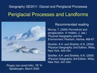
Pingos • Conical mound • Cored by massive ice • Height: 1-10 m., Dia.: 50-150 m. • Require permafrost • Often found on the bed of drained lakes • Closed system pingo • Water derived from talik (localized unfrozen ground) • Open system pingo • Water derived from groundwater
How to make a pingo • Step 1: Lake drains • Step 2: Ice segregation by pore water movement into talik • Step 3: Ice grows from top; fed by talik water
Periglacial Landforms in Google Earth • Arctic coastal plain, Point Barrow, AK • Kings Hill, ID • Northwest Territories, Canada