Download
1 / 26
260 likes | 464 Views
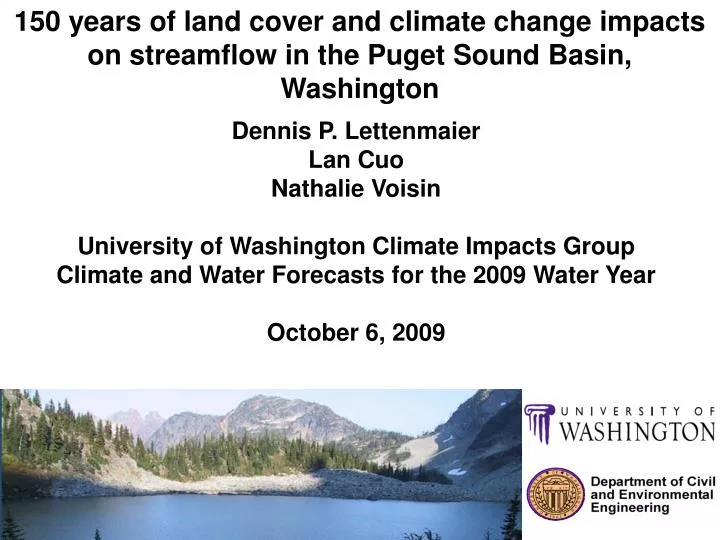
150 years of land cover and climate change impacts on streamflow in the Puget Sound Basin, Washington. Dennis P. Lettenmaier Lan Cuo Nathalie Voisin University of Washington Climate Impacts Group Climate and Water Forecasts for the 2009 Water Year October 6, 2009 . Outline. Background

E N D
150 years of land cover and climate change impacts on streamflow in the Puget Sound Basin, Washington Dennis P. Lettenmaier Lan Cuo Nathalie Voisin University of Washington Climate Impacts Group Climate and Water Forecasts for the 2009 Water Year October 6, 2009
Outline • Background • Study area • Methods • Historical and projected results • Conclusions
Background • Surface hydrology studies streamflow, soil moisture, snow, evapotranspiration, etc. • These variables are related to our drinking water and vegetation water consumption. • Human activities are also affecting land cover, e.g., urbanization, deforestation, agriculture expansion. • IPCC (2007) stated that climate change is most likely due to human activities. • All these will affect surface hydrology by changing mechanisms like surface energy balance, surface infiltration capacity, snow rain partition, etc. Objective 1. How do land cover and climate change affect streamflow?
Study area • Puget Sound Basin, Washington State, USA • Temperate marine climate, precipitation season: October - March • Snow in highland. Not much in lowland
Model • Interception • Evapotranspiration • Snow accumulation and melt • Energy and radiation balance • Saturation excess and infiltration excess runoff • Unsaturated soil water movement • Ground water recharge and discharge • Nature-urban mixed hydrological process • Distributed hydrology-soil-vegetation model (DHSVM) Forcing data: temperature, relative humidity, wind speed, incoming shortwave and longwave radiation and precipitation.
Historical and current land cover in Puget Sound 2002 land cover Puget Sound Basin, Washington State Map adopted from Alberti et al. (2004) 1883 land cover Reconstructed historical land cover map (USGS 1883) using ArcGIS (ArcMap, ArcInfo)
Tmin has stronger increasing trend than tmax at some locations
Model calibration – urban basins in Puget Sound DHSVM calibration at hourly time step in urbanizing basins
Land cover change effects on seasonal flow Lowland Highland Intermediate elevation Intermediate elevation
Land cover change induced streamflow changes in Puget Sound Results of Mann-Kendall trend analysis on measurement and model residual of annual maximum flows and annual flows. Trends are in % over period of record, trend test is two-sided Minimum detectable trend is greater than 500%.
Seasonal streamflow change in Puget Sound Trend analysis results of measurement and model residual for seasonal flows. Trend test is two-sided; trends are in % over period of record. Urban site (12120000) has increasing trends consistent with model simulation, annual maximum flow increases, summer flow decreases.
Historical temperature change effects 1915 condition 2006 condition
Historical land cover and climate change comparison Land change impacts dominates in lowland Lowland Intermediate elevation Highland
Projected land cover change in Puget Sound in 2027 and 2050 2027 map was from Hepinstall et al (2008). 2050 map was from the population and urban land cover regression for the lowland, and upland land was assumed to have no changes compared to 2027 map.
Future climate conditions A1B scenario Monthly Deltas = 2035-2065 vs. 1970-2000
Projected climate change impacts on runoff and centroid Delta approach, 2050s climate vs. 1970 -2000 climate, and 2002 land. Day starts from Oct. 1 to Sept.30
Projected land cover change impacts on runoff 2002 and 2050 land covers and 2050s climate
Projected climate and land cover change impacts on mean annual total runoff
Conclusions • Upland basin mean flow sensitivity to land cover change is mostly as a result of changes in snow accumulation and ablation, and lower ET associated with reduced vegetation. • However, overall upland basin seasonal flows distribution, especially in the transient snow zone, are much more sensitive to temperature change effects – both to mean and peak flows – than to land cover change • Lowland basin mean flows are much more sensitive to land cover change than are upland basins, especially in the most urbanized basins. • Future runoff is projected to increase primarily in the upland basins (above 1000 m). Runoff centroids will move earlier in the year in the upland basins, especially with elevation above 1500 m. The higher the elevation, the larger the forward shift in centroid. • Projected land cover change impacts occur across all elevation zones. Land cover change will tend to increase runoff at lower elevations, but decrease runoff at higher elevations, mostly due to urbanization at low elevation, and forest regrowth at higher elevations. Land cover change does not affect runoff timing in a consistent way because land cover change impacts mostly are on evapotranspiration rather than snow.