Download
1 / 23
230 likes | 326 Views
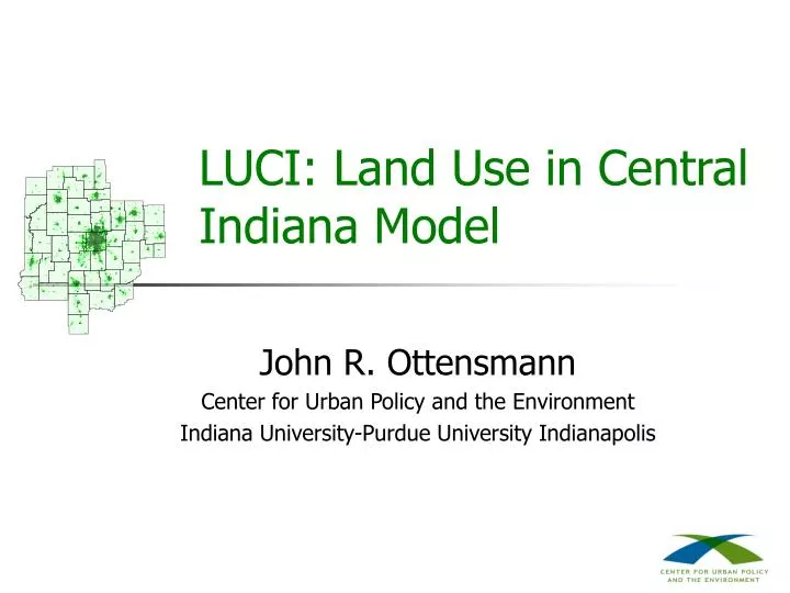
LUCI: Land Use in Central Indiana Model. John R. Ottensmann Center for Urban Policy and the Environment Indiana University-Purdue University Indianapolis. Introduction to LUCI. Model to simulate future patterns of urban development for the Central Indiana region

E N D
LUCI: Land Use in Central Indiana Model John R. Ottensmann Center for Urban Policy and the Environment Indiana University-Purdue University Indianapolis
Introduction to LUCI • Model to simulate future patterns of urban development for the Central Indiana region • To be used to produce different scenarios reflecting policy choices and alternative assumptions regarding future development LUCI: Land Use in Central Indiana Model
LUCI Basics • Encompasses 44-county BEA region for Central Indiana • Simulates urban development using system of 17,369 mile-square grid cells • Developed using data on urbanization from satellite images for 1985, 1993, 2000 LUCI: Land Use in Central Indiana Model
Development of LUCI Model • First equation predicts probability of development in grid cells • Developed using 1993-2000 data • Second equation predicts density of development in grid cells • Developed using population data for 2000 LUCI: Land Use in Central Indiana Model
Predictors of Probability of Development • Accessibility to employment • Distance to nearest interstate and 4-lane highway • Whether grid cell served by water or sewer utility • ISTEP scores for school districts • Land urbanized in preceding period (persistence) • Land urban in neighborhood and its square (logistic development trend) LUCI: Land Use in Central Indiana Model
Accessibility to Employment LUCI: Land Use in Central Indiana Model
How LUCI Simulates Development • Simulates in 5-year periods • Starts with forecast population growth • Calculates predicted probability of development and density • Adjusts development to population growth • Repeats process for successive rounds LUCI: Land Use in Central Indiana Model
Scenarios in LUCI • Purpose not “best” forecast but to compare alternative scenarios • Scenarios reflect policy choices, such as restrictions on development. utility expansion • Scenarios reflect alternative assumptions regarding development, such as population growth and density, accessibility preferences LUCI: Land Use in Central Indiana Model
LUCI Simulation Results • Maps of change in urbanization and final levels of urbanization • Tabular results for amounts of land urbanized and various measures of development pattern, some for MSAs and counties LUCI: Land Use in Central Indiana Model
LUCI Program • LUCI has been designed so that anyone can use program • Should run on nearly any Windows system • Can run simulations to create new scenarios in one or two minutes, or less LUCI: Land Use in Central Indiana Model
The Current Trends Scenario • LUCI starts with Current Trends scenario • Specifications for Current Trends scenario represent, in part, values estimated from the period prior to 2000 • Specifications also represent assumption that policies affecting development will not vary from those in effect during recent past LUCI: Land Use in Central Indiana Model
Selected Current Trends Results LUCI: Land Use in Central Indiana Model
Creating a New Scenario • LUCI user can create new scenarios reflecting different policy choices, assumptions • Comparison with other scenarios helps in understanding implications of choices • Example: Require utilities for new development LUCI: Land Use in Central Indiana Model
Selected Comparison Results LUCI: Land Use in Central Indiana Model
LUCI’s Future • LUCI Version 1.0 will be released within next few months • LUCI program will be available for download from Internet LUCI: Land Use in Central Indiana Model