Download
1 / 33
330 likes | 337 Views
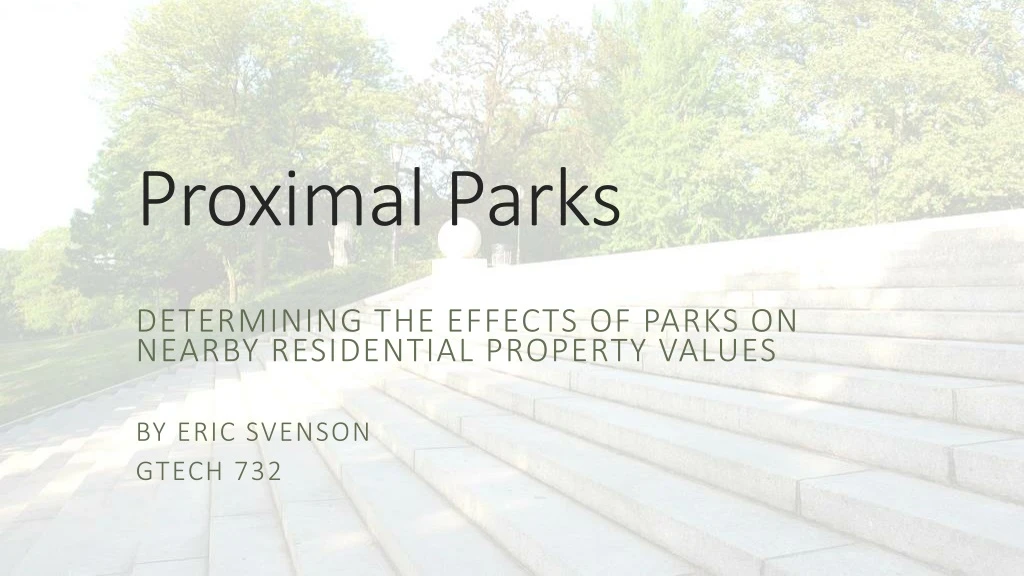
Proximal Parks. Determining the effects of parks on nearby residential property values By Eric Svenson GTECH 732. Sunset Park, Brooklyn. http://www.flickriver.com/photos/tomvu/2818367744/. Sunset Park, Brookly n. Source: Google Maps. Parks Questions.

E N D
Proximal Parks Determining the effects of parks on nearby residential property values By Eric Svenson GTECH 732
Sunset Park, Brooklyn http://www.flickriver.com/photos/tomvu/2818367744/
Sunset Park, Brooklyn Source: Google Maps
Parks Questions • How much are parks used per square meter? • How equally does the Parks Department allocate funds? • Are parks patrolled by police equally? • How can we predict visitation?
Parks Questions • No visitation data kept (except Central Park) • Parks website search-based – no central or downloadable documents • No police records kept with relation to parks
What do parks offer? • Recreation areas • Community Events • Aesthetic benefits • Environmental benefits Source: nycgovparks.org
Problem • Parks are a desirable amenity • Cities looking to expand green space, increase per capita statistic • What effects could new, high-quality parks have on housing values? • What could be positive/negative effects of an increase in housing value?
Objectives • Determine whether there is a meaningful correlation between a residential lot’s value per unit and its distance to the nearest quality park • Expected: a decrease in value with increasing distance from park • Create, use and evaluate two related proximity models to better understand the relationship • Produce plots and maps to gain a holistic view of the problem
Conditions • Several studies showing park presence to have an amplification effect on housing value (Wen 2015, Lorenzo 2007, Donovan 2011) • Areas of study vary • Housing within 4,000 feet of parks compared (More 1982) • Housing values compared between three buffer distances - 300, 600, 1000 feet (Lorenzo 2007) • Housing type, green space type varies • Community gardens, street trees, greenbelts
Conditions (cont.) • Many studies use hedonic pricing model • Sums all variables surrounding housing that people pay for (neighborhood, specific housing characteristics) • Costly – purchase data from housing sales • All use some form of proximity analysis, often with an index for park quality to eliminate noise from results
Conditions (cont.) • 1500 feet – limit of study area • Park density • Buffers of 750 and 1500 feet • 750 feet – length of average long NYC block • Results: • % Change statistics with increasing distance from park based on mean property values per unit within buffers (Buffer-ring model) • Scatter plots based on distance of each lot to the nearest park, R-squared statistics for regression lines to show correlation (+/-)
Assumptions • High quality parks have a stronger influence on increasing residential property values • Value per unit is directly related to how much tenants or owners pay for housing • Estimated total assessed value (Department of Finance) is accurate • At a certain distance, the influence of the park on property values is null. • Parks below 5 acres in size will have very little influence on nearby property values
Data • NYC Open Data – Parks Properties shapefile • “Flagship parks”, “neighborhood parks”, “community parks” • Bytes of the Big Apple – MapPLUTO shapefile • Data on tax lot level: • Residential Lots (Land use codes 1-4) • Total Assessed Value – land value * tax class • Number of units • Value per unit = Total Assessed Value / Number of units
Data (cont.) • NYC Parks.gov – park inspection program data • Rated “acceptable” or “unacceptable” based on a park’s ability to satisfy minimum standards for cleanliness, structure, and landscaping • Google Trends – park search data • Based on “search interest topics”
Methodology • - 750 and 1500 foot buffers • - Erase features – park and 750 foot buffer respectively, create “rings” • - Identity – buffers take attributes of residential lots • - Summary Statistics – calculate mean property value per unit within “inner ring” and “outer ring” • - Join fields with buffer, Append to empty shapefile • - Join field from shapefile to parks dataset, calculate percent change from inner to outer ring
Buffer-Ring results • Results vary widely between parks – 50% split between negative and positive % change • Park quality has little bearing on the relationship • Average number of lots within each buffer ring is 1245.2 for parks with negative % change, 667.5 for parks with positive % change • Parks with high levels of change (+/-) looked at more closely with Near Analysis in next step
Methodology (cont.) • Select parks with highest change statistic from buffer-ring model • Select lots within 1500 feet (Select Layer by Location) • Near analysis for each lot to park dataset • Scatter plots (SPSS)
Central ParkMedium-High Quality-35% Change with distanceR-squared: .002
Riverside ParkHigh Quality-34% Change with DistanceR-squared: .0006
City Hall ParkHigh Quality-34% Change with DistanceR-squared: .046
St. Mary’s ParkLow Quality+118% Change with DistanceR-squared: .002
Fort Greene ParkMedium-High Quality+79% Change with DistanceR-squared: .0004
Bryant ParkHigh Quality+67% Change with DistanceR-squared: .001
Issues • Park density makes the use of buffers iffy • R-squared extremely low (1 = plot 100% determined by model variables) • R-squared statistic will decrease with more data points
Future Improvements • Minimum threshold for number of lots within 1500 feet • Buffer-Ring Model: • Select fewer parks to avoid buffer collisions • Three thinner buffers to capture closest edge to park • Incorporate hedonic pricing model to produce results more related to target variables • Buffer-ring good first step – necessary? • More conclusive results needed to understand possible effects of new parks on housing prices