Download
1 / 16
160 likes | 318 Views
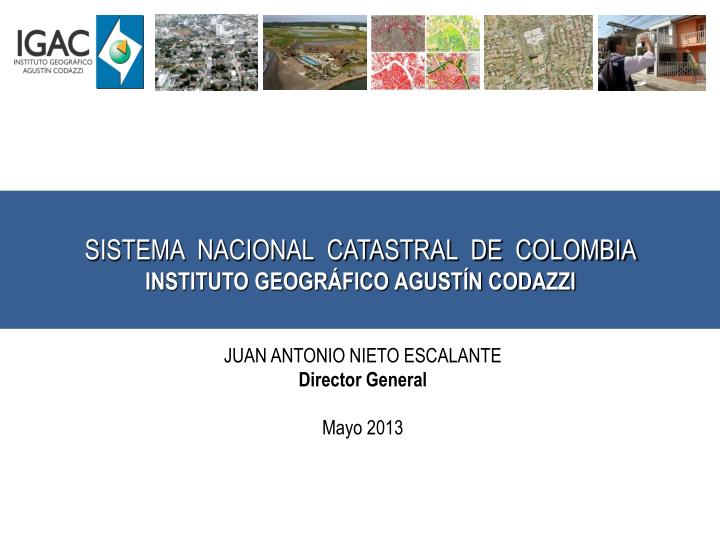
JUAN ANTONIO NIETO ESCALANTE Director General Mayo 2013. SISTEMA NACIONAL CATASTRAL DE COLOMBIA INSTITUTO GEOGRÁFICO AGUSTÍN CODAZZI. COLOMBIA. Área Total: 2.070.408 Km2 Área Continental: 1.141.748 Km2 Departamentos: 32 Municipios y Distritos: 1.101 Corregimientos: 20

E N D
JUAN ANTONIO NIETO ESCALANTE Director General Mayo 2013 SISTEMA NACIONAL CATASTRAL DE COLOMBIA INSTITUTO GEOGRÁFICO AGUSTÍN CODAZZI
COLOMBIA Área Total: 2.070.408 Km2 Área Continental: 1.141.748 Km2 Departamentos: 32 Municipios y Distritos: 1.101 Corregimientos: 20 Área Km2
MISIÓN INSTITUCIONAL Producir, proveer y divulgar información y conocimiento en materia de agrología, cartografía, catastro, geografía y tecnologíasgeoespaciales y regular su gestión, en apoyo a los procesos de planificación y desarrollo del país.
CATASTRO IGAC EN CIFRAS El IGAC administra aproximadamente 10 millones de predios. Estado Catastro Urbano Estado Catastro Rural
Sede Central y 22 Direcciones Territoriales 44 Unidades Operativas de Catastro ORGANIZACIÓN PARA LA GESTIÓN
CATASTRO MULTIPROPÓSITO • Ordenamiento territorial. • Saneamiento, titulación, registro y seguridad jurídica de la propiedad. • Protección del patrimonio de la población desplazada – Política de Tierras y Proceso de Paz. • Desarrollo rural. • Gestión Integral del Riesgo. • Procesos de extinción de dominio.. • Observatorio del mercado inmobiliario. • Protección colectiva de los grupos étnicos. • Determinación de la base gravable para el cobro del impuesto predial. • Infraestructura de transporte.
¿CÓMO SE MANEJA HOY LA INFORMACIÓN CATASTRAL? Territorial Territorial • Datos alfanuméricos y geográficos en bases de datos diferentes. • Entrega de información a entes territoriales en medio magnético – seguridad mínima. • Información disgregada en las Direcciones Territoriales y Unidades Operativas • Altos tiempos de consolidación de la información catastral de los 995 municipios - información catastral no actualizada en tiempo real. t´ t t´´ t Sede Central t t t´ t´´ Territorial Territorial UOC UOC UOC UOC
SISTEMA NACIONAL CATASTRAL • Producir, analizar y divulgar información obtenida de los procesos catastrales en tiempo real. • Realizar avalúos comerciales para apoyar la administración y el mercado eficiente de la tierra con mayor confianza. • Proteger jurídicamente la propiedad y • Facilitar el intercambio de información en tiempo real con diferentes entidades del Estado.
SNC – COMPONENTES • Legal • Política integral de tierras • Política de infraestructura • Catastro y su interrelación con Registro Operativo Formación Actualización Conservación Avalúos Tecnológico Hardware Software Aplicaciones • Procedimental • Sistema de gestión integrado • Convenios interadministrativos
SNC – COMPONENTE TECNOLÓGICO Sistema Nacional Catastral Sistema de Información bajo estándares de calidad que permite prestar un servicio oportuno y seguro a las diferentes entidades del Estado, a las empresas y a los ciudadanos en particular. PROCESOS Quién Qué Gestión Cuándo Procedimientos Normas Instructivos … Dónde
SISTEMA NACIONAL CATASTRAL ACTORES Y BENEFICIARIOS Autoridades Catastrales Entidades Gubernamentales Empresas privadas, sociedad civil y ciudadanos
GRACIAS INSTITUTO GEOGRÁFICO AGUSTÍN CODAZZI