Download
1 / 13
130 likes | 253 Views
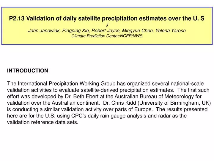
P2.13 Validation of daily satellite precipitation estimates over the U. S J John Janowiak, Pingping Xie, Robert Joyce, Mingyue Chen, Yelena Yarosh Climate Prediction Center/NCEP/NWS. INTRODUCTION The International Precipitation Working Group has organized several national-scale

E N D
P2.13Validation of daily satellite precipitation estimates over the U. S J John Janowiak, Pingping Xie, Robert Joyce, Mingyue Chen, Yelena Yarosh Climate Prediction Center/NCEP/NWS INTRODUCTION The International Precipitation Working Group has organized several national-scale validation activities to evaluate satellite-derived precipitation estimates. The first such effort was developed by Dr. Beth Ebert at the Australian Bureau of Meteorology for validation over the Australian continent. Dr. Chris Kidd (University of Birmingham, UK) is conducting a similar validation activity over parts of Europe. The results presented here are for the U.S. using CPC’s daily rain gauge analysis and radar as the validation reference data sets.
Validation Data Set • - 7000+ station reports daily • 12Z – 12Z accumulation period • Data analyzed using a Cressman-type • scheme • Error characteristics of validation data are • NOT known • - Validation area matched for all estimates • (if missing in one, made missing in all)
Difference Between Gauge Analysis & four Satellite Estimates During the Cool Season
Difference Between Gauge Analysis & four Satellite Estimates During the WARMSeason
west east BIAS Ratio (estimated mean / gauge mean)
west Bias Ratio (areal coverage) east
CONCLUSIONS • 1. Merging passive microwave (PMW) & IR information results in more accurate • precipitation estimates than when used individually • TWO systematic biases in all satellite estimates: • - OVER estimation over snow-covered regions • - OVER estimation in semi-arid regions during warm season • Better results obtained when using IR to transport PMW-derived rainfall than • estimate precip. Directly from IR • NWP forecasts generally outperform satellite estimates (and radar) during • winter over the US